

Colorado Whitewater
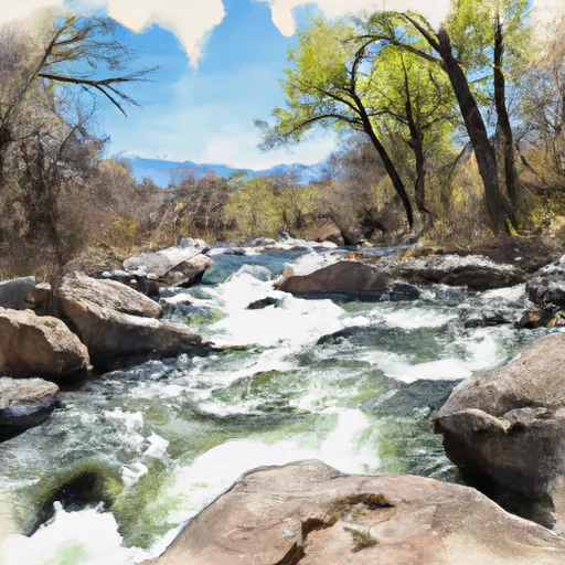
SPRING CREEK
STREAMFLOW: 75 CFS
• Class IV-V River Run
Spring Creek is a tributary of the Whitewater River located in the state of Colorado. The ideal streamflow range for this run is between 100 to 400 cfs. This run is rated as a Class IV whitewater run and spans over a distance of 5 miles. The run is characterized by challenging rapids, including the Class V "Toilet Bowl" rapid and the Class IV "S-Turn" rapid.
Access to the Spring Creek run is regulated, and paddlers must obtain a permit from the Bureau of Land Management (BLM) to access the river. The BLM also enforces regulations, including a limit on the number of paddlers allowed on the river at any given time. Additionally, all paddlers must wear personal flotation devices and helmets while on the river.
Overall, the Spring Creek run is a challenging and rewarding whitewater experience for experienced paddlers. It offers breathtaking scenery and a range of rapids that will test even the most skilled paddlers. However, it is important to respect the regulations in place and to exercise caution while on the river to ensure a safe and enjoyable experience. Get driving directions.
| Last Updated | 2024-04-25 |
| River Levels | 1300 cfs (7.07 ft) |
| Percent of Normal | 32% |
| Reporting Streamgauge | DOLORES RIVER AT BEDROCK, CO. |
| Elevation | 4,954 ft. |
| River | Dolores-River |
| Watershed | Upper Dolores |
Weather Forecast
