Streamflow levels across
Wyoming
are currently
106.0% of normal, with the
Snake River Ab Reservoir Nr Alpine Wy
reporting the highest discharge in the state with
5090cfs and gauge stage of 4.91 ft.
Meanwhile, the
Green River Below Fontenelle Reservoir
is seeing a spike in streamflows today after experiencing a
63.48%
increase since yesterday, and currently running at
1110cfs.
Maximum gauge stage in the state was last observed at the
Gros Ventre River At Zenith Wy, currently reporting a stage of
18.73ft.
The
Bear River Below Reservoir
in the
Upper Bear
watershed
is surging for this time of year at
677cfs, about
369.29% of normal.
Surface Flow Characteristics
Wyoming has a semi-arid climate with an average annual precipitation of 14 inches. The state contains major surface flows such as the Green River, North Platte River, and the Snake River. The Wind River Range contains the headwaters of the Green and Snake Rivers. The state has many reservoirs and dams that are used for irrigation, flood control, and hydroelectric power generation. Snowpack in the mountains is a critical source of water for Wyoming's rivers, and snowmelt runoff typically peaks in May and June. The state is also affected by drought conditions, which can lead to reduced water availability and increased wildfire risk. Overall, Wyoming's hydrology is influenced by its specific geography, climate, and water management practices.
Streamgauge Profile
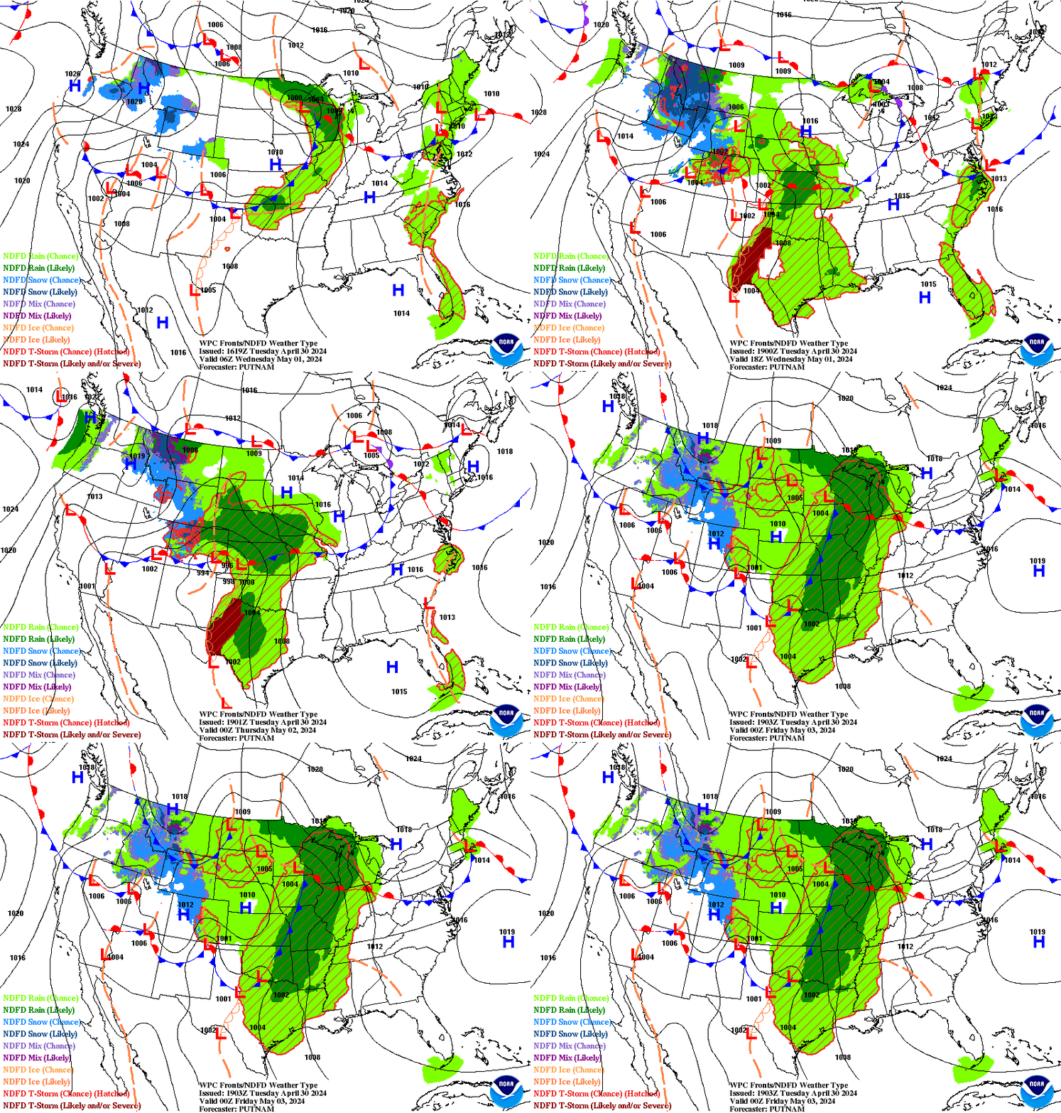
Statewide Warnings & Alerts
SNOWY RANGE
* WHAT...Heavy mountain snow expected. Total snow accumulations of 1 to 2 feet, with locally higher amounts possible on the highest peaks. * WHERE...Snowy Range above 8500 feet elevation. * WHEN...6 PM MDT this evening until 6 PM MDT Sunday. * IMPACTS...Extremely dangerous or impossible mountain travel due to icy, ...
SOUTH LARAMIE RANGE
* WHAT...Heavy wet snow possible. Total snow accumulations of 5 to 10 inches, with locally higher amounts possible. * WHERE...South Laramie Range including the Interstate 80 Summit between Laramie and Cheyenne, mainly above 7500 feet elevation. * WHEN...Midnight Friday Night through 6 AM MDT Sunday. * IMPACTS...Dangerous travel conditions due ...
WIND RIVER MOUNTAINS EAST
* WHAT...Heavy snow expected. Total snow accumulations of up to 12 to 24 inches, with the highest amounts above 10000 feet in elevation. Winds gusting as high as 40 mph. * WHERE...Wind River Mountains East. * WHEN...From 6 PM this evening to 9 PM MDT Saturday. * IMPACTS...Travel could be ...
ABSAROKA MOUNTAINS
* WHAT...Snow expected. Total snow accumulations of up to 6 to 12 inches. * WHERE...Absaroka Mountains. * WHEN...From noon today to 3 PM MDT Saturday. * IMPACTS...Travel could be difficult especially in the backcountry.
Rivers of Wyoming
Watersheds of Wyoming
Popular Whitewater Destinations
| River Run | Status | Streamflow (CFS) | Air Temp (F) |
|---|---|---|---|
|
|
39.99 | ||
|
|
RUNNABLE | 817 | 48 |
|
|
RUNNABLE | 817 | 48 |
|
|
26 | 70 | |
|
|
RUNNABLE | 265 | 51 |
|
|
TOO HIGH | 66.6 | 46 |
|
|
38.43 | ||
|
|
RUNNABLE | 350 | 47 |
|
|
RUNNABLE | 890 | 44 |
|
|
RUNNABLE | 142 | 61 |
|
|
RUNNABLE | 215 | 74 |
|
|
RUNNABLE | 350 | 47 |
|
|
RUNNABLE | 350 | 47 |
|
|
RUNNABLE | 350 | 47 |
|
|
TOO HIGH | 4350 | 89 |


 Snoflo Premium