Already Have an Account?
Wind
Humidity
Get the latest Boat Launch Report, Ramp Details, and Weather Forecast for 39025 Sw 8th St, Florida in Florida. Florida Ramp Details and Weather Forecast
Need an Account? Reset Your Password


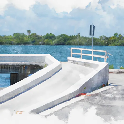
 39025 SW 8th St, Florida
 Parkline Canal (L-31W)
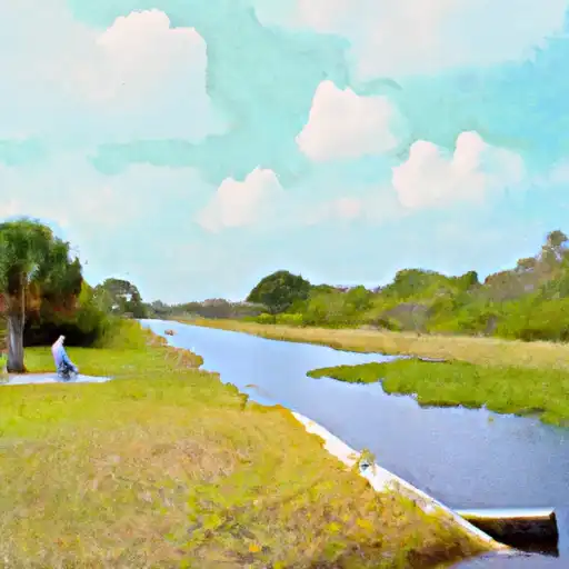
 Snapper Creek Canal Number C-2
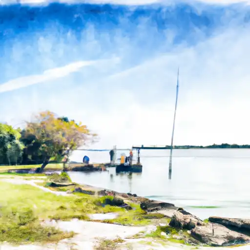
 Cutler Drain Canal Number C-100
 Tropical Lake Miami Dade County
 Cutler Drain Canal C-100