Summary
It is situated at latitude 43.323641 and longitude -122.799479.
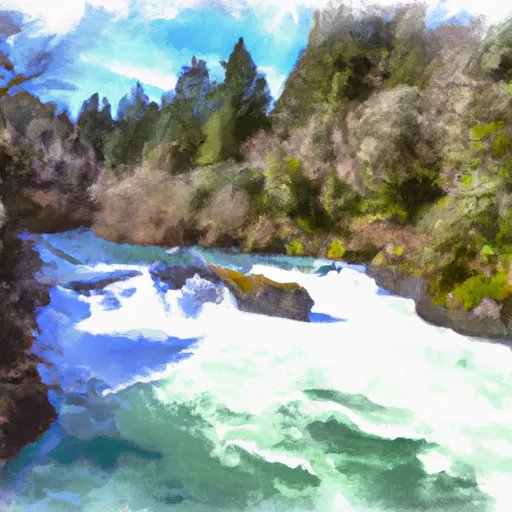
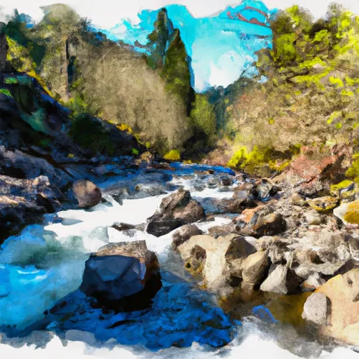
The Bogus Raft Launch Boating Site is primarily designed for rafting and kayaking enthusiasts. The boat ramp provides access to the North Umpqua River, a popular destination for white-water rafting, kayaking, and fishing. It is a concrete ramp with a width of approximately 10 feet, suitable for small watercraft.
The Bogus Raft Launch Boating Site is managed by the U.S. Forest Service and is open to the public year-round. The site also features a small parking area for vehicles and trailers.
As the name suggests, the Bogus Raft Launch Boating Site is specifically designed for rafts, kayaks, and other small watercraft. Larger vessels are not permitted on the North Umpqua River due to its narrow and winding nature.
In summary, the Bogus Raft Launch Boating Site is a concrete boat ramp located in Oregon, providing access to the North Umpqua River. It is suitable for small watercraft such as kayaks and rafts and is managed by the U.S. Forest Service.
°F
°F
mph
Wind
%
Humidity

 Bogus Raft Launch Boating Site
 Little Falls To Confluence With North Umpqua River
 Confluence Of Siwash Creek To Little Falls
 Headwaters Of East Fork Steamboat Creek To Confluence With Siwash Creek