Summary
It is situated at a latitude of 44.12439672600004 and a longitude of -122.46821445799998.
The boat ramp is approximately 20 feet wide and has a gentle slope, making it suitable for launching boats of various sizes. It is also equipped with a dock for loading and unloading passengers and gear.
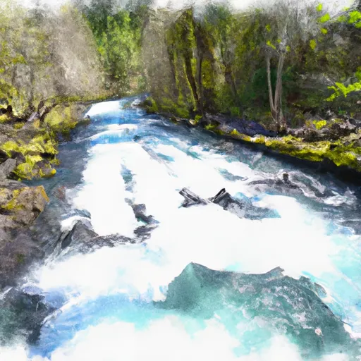
Rennie Landing provides access to the McKenzie River, which is a popular destination for anglers, kayakers, and other recreational boaters. The river is known for its scenic beauty and offers a variety of fishing opportunities, including trout, steelhead, and salmon.
According to the Oregon Department of Fish and Wildlife, motorized boats are allowed on the McKenzie River, but they must be operated at wakeless speeds. Non-motorized craft, such as kayaks and canoes, are also permitted.
Overall, Rennie Landing appears to be a well-maintained boat ramp that provides easy access to the McKenzie River for a variety of boaters and anglers.
°F
°F
mph
Wind
%
Humidity

 Rennie Landing
 Rennie's Landing
 Silver Creek Boat Landing
 Mckenzie River Seg A
 South Fork Gate Creek
 North Fork Gate Creek
 Mckenzie River Seg B
 Below Cougar Dam To Confluence With Mckenzie River