

Summary
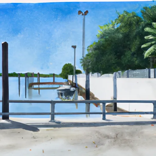
It is approximately 20 feet wide and services the body of water known as Lake Conine. The ramp is intended for use by small boats, including kayaks and canoes, as well as larger motorized vessels such as fishing boats and pontoon boats.
This information is based on data available from the Polk County Parks and Recreation Department, which oversees the operation and maintenance of the ramp. It is important to note that regulations and restrictions may be subject to change, and boaters should always consult current information before using any boat ramp or waterway.
 21st Street Northwest 3098, Winter Haven
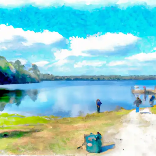
 Lake Echo
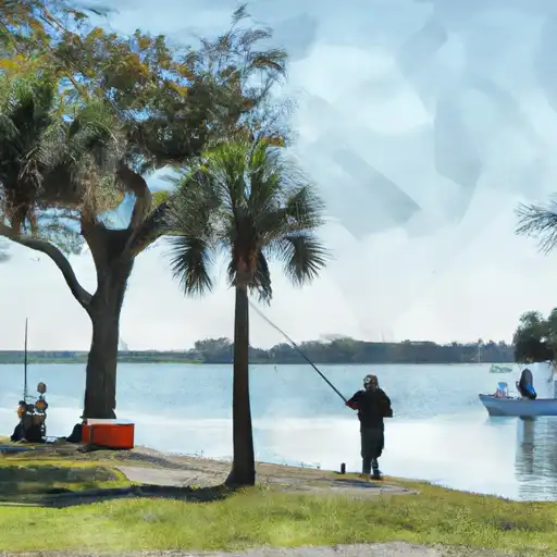
 Lake Idylwild
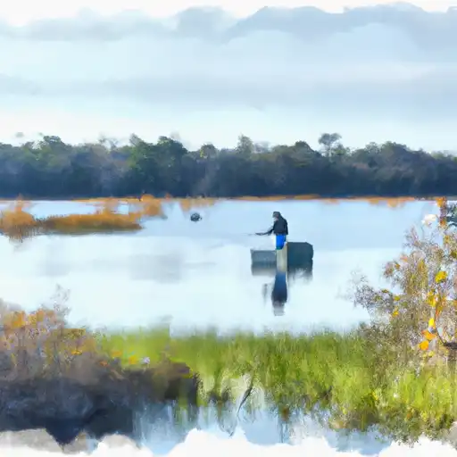
 Lake Rochelle
 Lake Cannon
 Lake Haines