Summary
However, without additional information or a specific address, it is difficult to provide further details about the exact boat ramp in question.
In general, boat ramps can come in different sizes and shapes, and may be designed for different types of watercraft and bodies of water. Some boat ramps are narrow and suited only for small boats or kayaks, while others are wider and can accommodate larger vessels such as sailboats, powerboats, or even commercial fishing boats.
As for the body of water that the Boat Ramp in Florida serves, it could be any nearby waterway such as a river, lake, or ocean inlet. Again, without more information it is difficult to pinpoint the exact location and body of water.
Regarding permitted craft, this would depend on the specific regulations and rules set by the local authorities managing the boat ramp and the waterway it serves. Some areas may have restrictions on certain types of boats or water activities, such as speed limits, wake zones, or no-wake zones. It's important for boaters to check the local regulations and follow them to ensure safety and compliance.
In summary, while we can determine the coordinates of the Boat Ramp in Florida, further research and information is necessary to provide accurate details about the type of boat ramp, its width, the body of water it serves, and the permitted craft.
°F
°F
mph
Wind
%
Humidity

 Boat Ramp
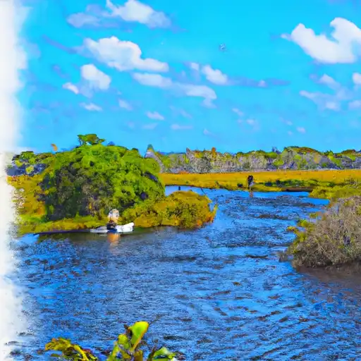 Central Canal (E-4)
 Lake Osborne
 Lake Ida
 Lake Clarke
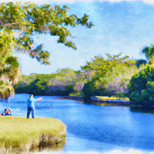 Delray Beach Canal (C-15)