Summary
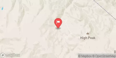
The campground is situated next to the scenic tributary of the Pleasant Valley Creek, which offers a peaceful setting for visitors to enjoy while camping.
The area is rich in points of interest, including nearby hiking trails, fishing spots, and scenic drives. For those seeking a bit of history, the nearby town of Quincy is home to several historic buildings, including the Plumas County Museum.
The campground itself offers a variety of amenities, including fire pits, picnic tables, and vault toilets. There are 15 campsites available, all of which are available on a first-come, first-served basis.
An interesting fact about the area is that it was once home to the Maidu Native American tribe, who inhabited the region for thousands of years before European settlement. Today, visitors can learn more about the Maidu culture by visiting the nearby Maidu Interpretive Center.
The best time to visit the Pleasant Valley Creek Camping Area is during the summer months when temperatures are mild, ranging from the mid-70s during the day to the low 40s at night. Overall, the Pleasant Valley Creek Camping Area is the perfect destination for those seeking a peaceful, natural setting to escape the hustle and bustle of everyday life.
°F
°F
mph
Wind
%
Humidity
15-Day Weather Outlook
Nearby Campgrounds
5-Day Hourly Forecast Detail
Nearby Streamflow Levels
Camping Essential Practices
Take all trash, food scraps, and gear back with you to keep campsites clean and protect wildlife.
Respect Wildlife
Observe animals from a distance, store food securely, and never feed wildlife to maintain natural behavior and safety.
Know Before You Go
Check weather, fire restrictions, trail conditions, and permit requirements to ensure a safe and well-planned trip.
Minimize Campfire Impact
Use established fire rings, keep fires small, fully extinguish them, or opt for a camp stove when fires are restricted.
Leave What You Find
Preserve natural and cultural features by avoiding removal of plants, rocks, artifacts, or other elements of the environment.
Related Links
Nearby Snowpack Depths
|
BLUE LAKES
|
0" |
|
NOHRSC BLUE LAKES
|
0" |
|
NOHRSC SPRATT CREEK
|
1" |
|
SPRATT CREEK
|
1" |
|
EBBETTS PASS
|
0" |
|
NOHRSC EBBETTS PASS
|
1" |

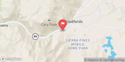
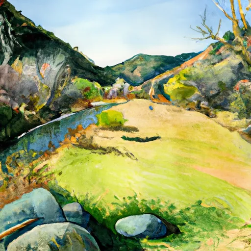 Tributary of Pleasant Valley Creek
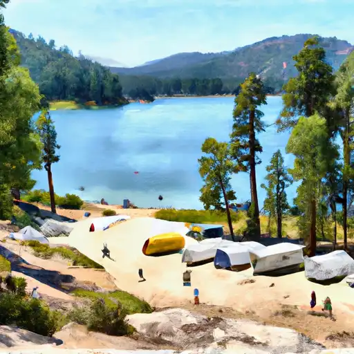 Lower Blue Lake
 Lower Blue Lake campgroung (PG&E)
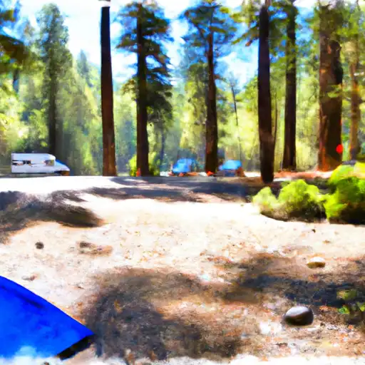 Silver Creek-Hwy 4
 Middle Creek/Expansion
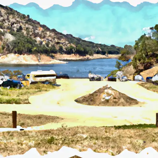 Upper Blue Lake Dam

 Highway 4 To Salt Springs Reservoir
 Headwaters In Sec 2, T9N, R18E To Confluence With Mokelumne River
 Centerville Flat To Hangman'S Bridge
 Source Sec 24, T6N, R21E To Centerville Flat
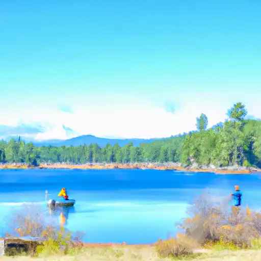 Blue Lakes
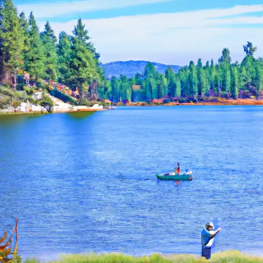 Evergreen Lake
 Highland Lakes
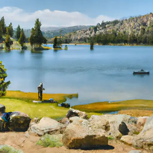 Caples Lake