Summary
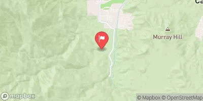
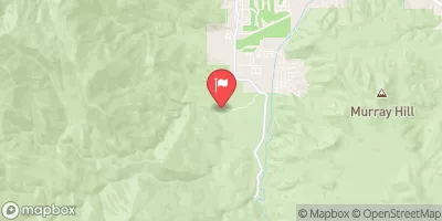
Situated on the banks of the Garcia River, this camping area boasts stunning views of the surrounding redwood trees and the river. Visitors can also enjoy the nearby ocean beaches and state parks, including Mendocino Headlands State Park and Van Damme State Park.
The camping area offers a variety of amenities, including picnic tables, fire rings, and flush toilets. The campground is first-come-first-serve, so visitors should arrive early to secure a spot. There are 11 campsites available, each with its own unique view of the river or the forest.
An interesting fact about the area is that it was once a logging camp, and the remnants of old logging roads can still be seen in the surrounding woods. Visitors can also spot a variety of wildlife, including deer, raccoons, and river otters.
The best time to visit Valley's End Camping Area is during the summer months, from June to August, when temperatures average around 70°F during the day and 50°F at night. However, visitors should be prepared for cooler temperatures and possible rain throughout the year, as the area is known for its foggy and damp climate. Overall, Valley's End Camping Area is a beautiful and peaceful retreat for nature lovers looking to escape the hustle and bustle of city life.
°F
°F
mph
Wind
%
Humidity
15-Day Weather Outlook
Nearby Campgrounds
| Location | Reservations |
|---|---|
 Valley's End
|
|
 Coulter Flat
|
|
 Oak Glen
|
|
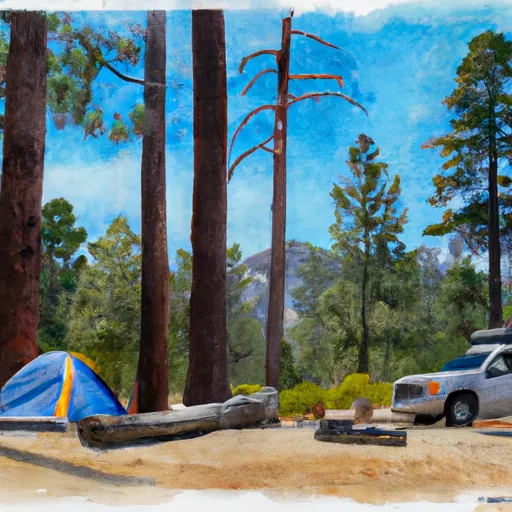 Split Pine
|
|
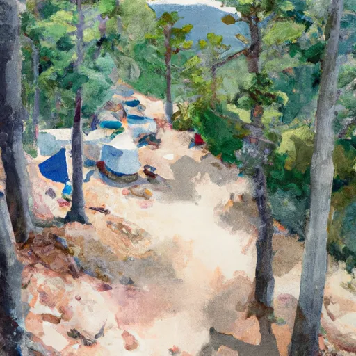 Ceder Glen
|
|
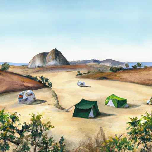 Green Bar
|
5-Day Hourly Forecast Detail
Nearby Streamflow Levels
Camping Essential Practices
Take all trash, food scraps, and gear back with you to keep campsites clean and protect wildlife.
Respect Wildlife
Observe animals from a distance, store food securely, and never feed wildlife to maintain natural behavior and safety.
Know Before You Go
Check weather, fire restrictions, trail conditions, and permit requirements to ensure a safe and well-planned trip.
Minimize Campfire Impact
Use established fire rings, keep fires small, fully extinguish them, or opt for a camp stove when fires are restricted.
Leave What You Find
Preserve natural and cultural features by avoiding removal of plants, rocks, artifacts, or other elements of the environment.
Related Links
Nearby Snowpack Depths
|
ESCONDIDO 0.5 SSE
|
0" |
|
EL CAJON 2.8 SSE
|
0" |
|
HAYFIELD PUMPING PLANT
|
0" |

