Summary
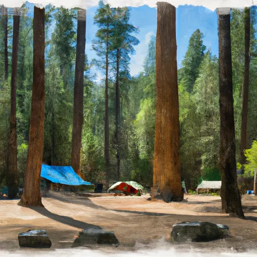
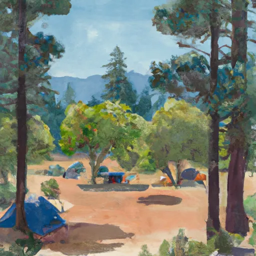
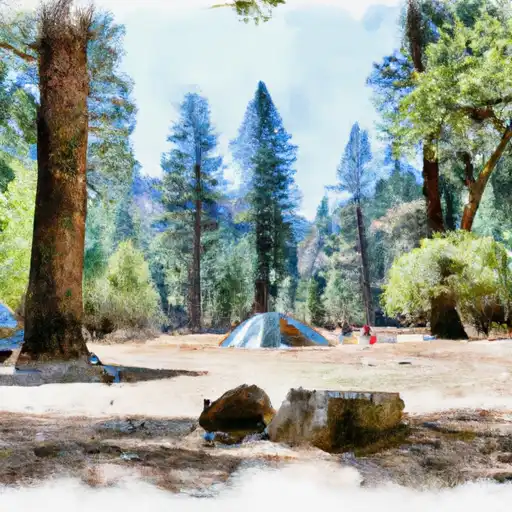
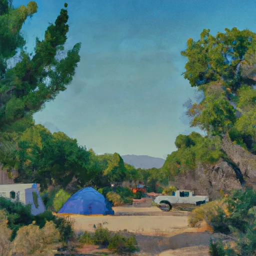
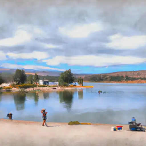
The area is surrounded by stunning natural beauty, with towering trees and impressive mountain views. Visitors to the area can enjoy hiking, fishing, and camping in a peaceful and natural setting.
The nearby points of interest include the Mariposa Grove of Giant Sequoias, where visitors can see some of the largest trees in the world. Yosemite Valley is also nearby, offering stunning vistas and opportunities for rock climbing and hiking.
The campground amenities include tent and RV camping, picnic tables, fire rings, and food storage lockers. The Wawona area is also home to the historic Wawona Hotel, which has been welcoming guests since 1876.
Interesting facts about the area include that Wawona was once a thriving logging town, with a sawmill and general store. The town was eventually abandoned and became part of Yosemite National Park.
The best time of year to visit Wawona is in the summer, from June to September. During this time, temperatures range from the mid-70s to low 80s during the day and drop to the mid-40s at night.
Overall, Wawona is a must-visit destination for those exploring Yosemite National Park. With its stunning natural beauty, nearby points of interest, and wide range of campground amenities, it is the perfect place for a peaceful and relaxing camping trip.
°F
°F
mph
Wind
%
Humidity
15-Day Weather Outlook
Nearby Campgrounds
| Location | Reservations |
|---|---|
 Wawona
|
|
 Wawona Campground
|
|
 Waawona Campground
|
|
 Wawona - Yosemite National Park
|
|
 Summit Camp
|
|
 Summerdale
|
5-Day Hourly Forecast Detail
Nearby Streamflow Levels
Camping Essential Practices
Take all trash, food scraps, and gear back with you to keep campsites clean and protect wildlife.
Respect Wildlife
Observe animals from a distance, store food securely, and never feed wildlife to maintain natural behavior and safety.
Know Before You Go
Check weather, fire restrictions, trail conditions, and permit requirements to ensure a safe and well-planned trip.
Minimize Campfire Impact
Use established fire rings, keep fires small, fully extinguish them, or opt for a camp stove when fires are restricted.
Leave What You Find
Preserve natural and cultural features by avoiding removal of plants, rocks, artifacts, or other elements of the environment.
Related Links
Nearby Snowpack Depths
|
AHWAHNEE 2.5 NNW
|
0" |
|
NOHRSC POISON RIDGE
|
2" |
|
NOHRSC CHILKOOT MEADOW
|
0" |
|
NOHRSC GRAVEYARD MEADOW
|
1" |
|
NOHRSC WHITE WOLF RAWS
|
0" |
|
NOHRSC GREEN MTN
|
1" |

 Junction Lake
 Lewis Creek
 Grizzly Lake