
Summary
Visitors can enjoy a variety of nearby attractions, including hiking trails, fishing spots, and waterfalls. Amenities at the campground include picnic tables, fire rings, and access to showers and restrooms. The campground operates on a first-come-first-serve basis, with 27 campsites available for use. The best time to visit is during the fall when temperatures average around 60°F, providing ideal conditions for outdoor activities. Overall, the Lotterdale Cove Camping Area is a great destination for nature lovers looking for a peaceful escape.
Nearby Campgrounds
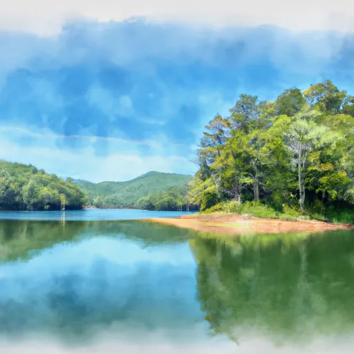
 Lotterdale Cove
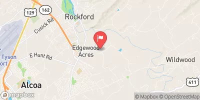
 Yarberry Peninsula
 Toqua Beach - Tellico Lake
 Punkin Center Motorcycle Resort
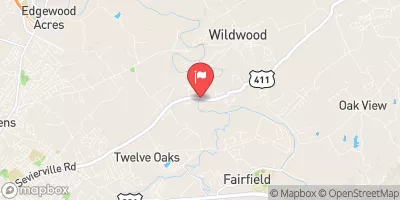
 Notchy Creek - Tellico Lake
Weather Forecast
Nearby Streamflow Levels
 Little River Near Alcoa
|
133cfs |
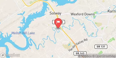 Beaver Creek At Solway
|
78cfs |
 Little River Near Maryville
|
131cfs |
 Tellico River At Tellico Plains
|
97cfs |
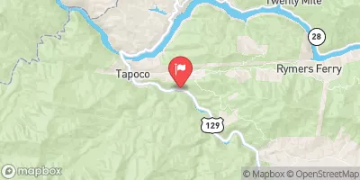 Cheoah River Nr Bearpen Gap Nr Tapoco
|
120cfs |
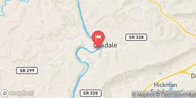 Emory River At Oakdale
|
294cfs |
Camping Essential Practices
Take all trash, food scraps, and gear back with you to keep campsites clean and protect wildlife.
Respect Wildlife
Observe animals from a distance, store food securely, and never feed wildlife to maintain natural behavior and safety.
Know Before You Go
Check weather, fire restrictions, trail conditions, and permit requirements to ensure a safe and well-planned trip.
Minimize Campfire Impact
Use established fire rings, keep fires small, fully extinguish them, or opt for a camp stove when fires are restricted.
Leave What You Find
Preserve natural and cultural features by avoiding removal of plants, rocks, artifacts, or other elements of the environment.
Related Links
Nearby Snowpack Depths
|
KINGSTON
|
0" |
|
GATLINBURG
|
0" |
|
NEW FOUND GAP
|
84" |
|
BRYSON CITY 4
|
0" |
 Connatser Drive 999, Loudon County
 Fort Loudoun State Recreation Area
 Lenoir City Park
 Lenoir City Recreation Complex
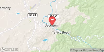
 National Conservation Area Tellico Lake - Chota Unit
 Partnership Park South