Summary
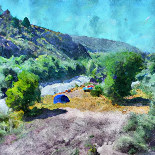
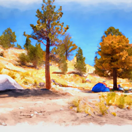
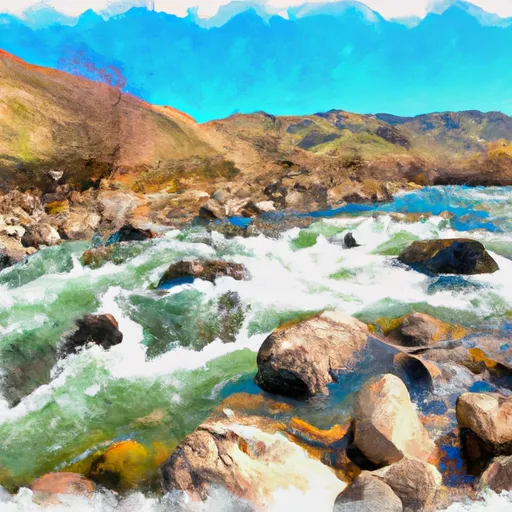
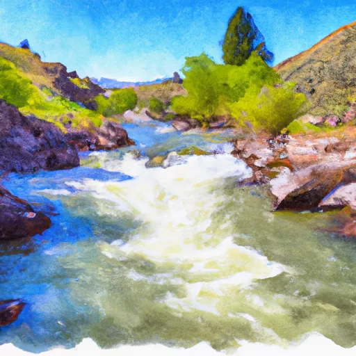
The campsite is located near the Snake River, which offers spectacular views of the surrounding area. The Snake River is also a great spot for fishing, kayaking, and swimming, making it a popular destination for outdoor enthusiasts.
In addition to the Snake River, there are several other nearby points of interest, including the Grand Teton National Park, Yellowstone National Park, and the Bridger-Teton National Forest. Visitors can also enjoy hiking, mountain biking, and wildlife viewing in the area.
The campground offers several amenities, including picnic tables, fire pits, and vault toilets. There is no potable water available, so visitors must bring their own. The campsite is first-come-first-serve and has a total of 21 campsites.
An interesting fact about the area is that it was once a popular spot for fur trappers in the early 1800s. Today, the area is known for its stunning natural beauty and outdoor recreation opportunities.
The best time of year to visit Tom's Hole Campsite is during the summer months, from June to August, when temperatures are typically in the 70s and 80s. However, visitors should be prepared for cooler temperatures at night. Overall, Tom's Hole Campsite is a great destination for outdoor enthusiasts looking to experience the natural beauty of Idaho.
°F
°F
mph
Wind
%
Humidity
15-Day Weather Outlook
Nearby Campgrounds
5-Day Hourly Forecast Detail
Nearby Streamflow Levels
Camping Essential Practices
Take all trash, food scraps, and gear back with you to keep campsites clean and protect wildlife.
Respect Wildlife
Observe animals from a distance, store food securely, and never feed wildlife to maintain natural behavior and safety.
Know Before You Go
Check weather, fire restrictions, trail conditions, and permit requirements to ensure a safe and well-planned trip.
Minimize Campfire Impact
Use established fire rings, keep fires small, fully extinguish them, or opt for a camp stove when fires are restricted.
Leave What You Find
Preserve natural and cultural features by avoiding removal of plants, rocks, artifacts, or other elements of the environment.
Related Links
Nearby Snowpack Depths
|
ANATONE 2.3 S
|
0" |
|
GRANGEVILLE 0.2 ENE
|
0" |
|
ASOTIN 14 SW
|
0" |
|
KAMIAH
|
0" |
|
LUCILE 1.2 NNE
|
0" |
|
OROFINO 3.8 WNW
|
0" |

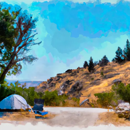 Green Canyon Campsite
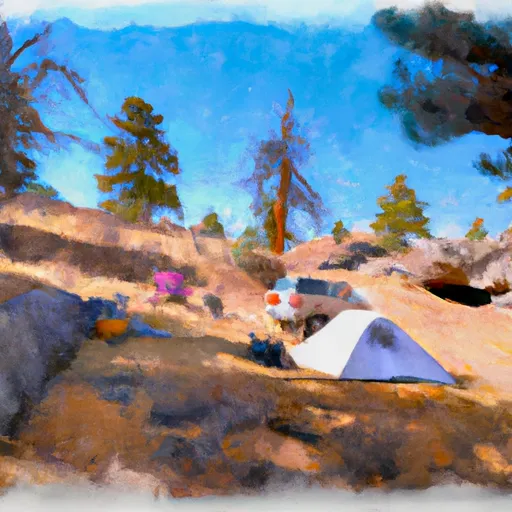 Demon Campsite
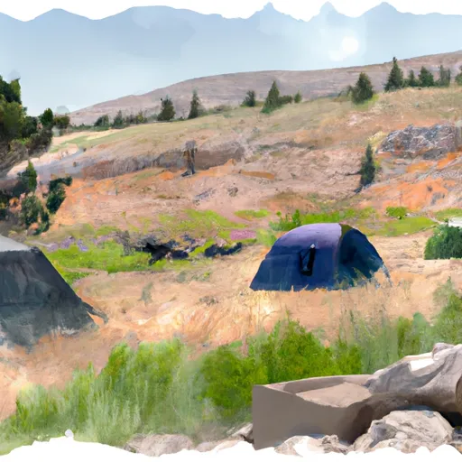 Lower Demon Campsite
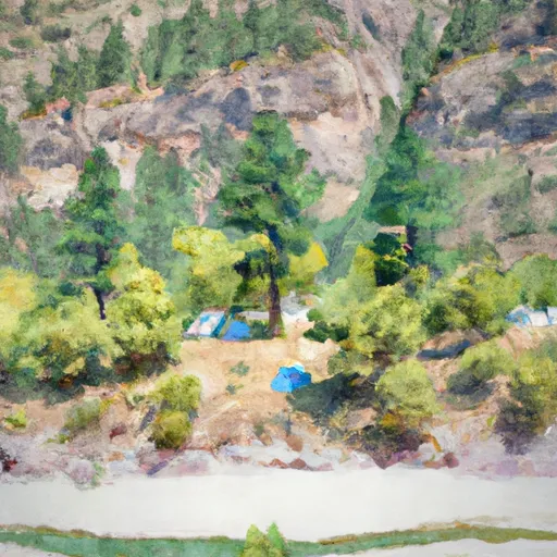 Schwartz Eddy Campsite
 Schwartz Bar Campsite
 Upper Schwartz Campsite
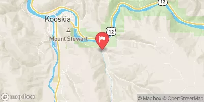
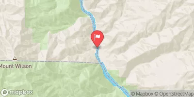
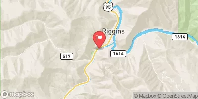
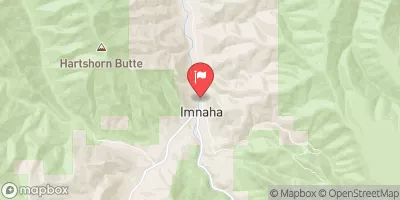
 Hammer Creek to Heller Bar (Lower Salmon)
 Salmon River
 Salmon River, Sec. 22, T28N, R1E To North And South Forks Of White Bird Creek