Summary
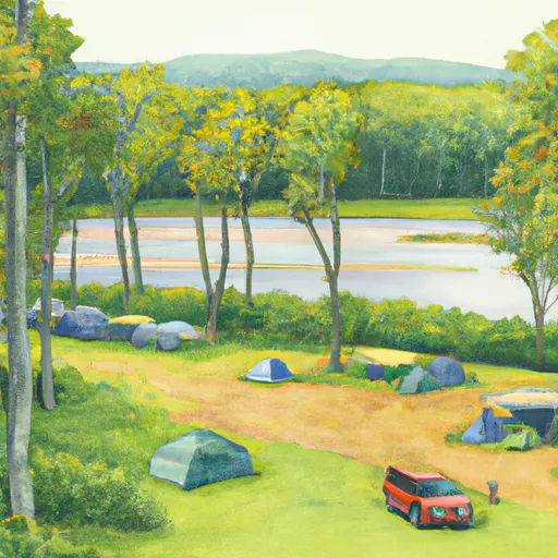
The campground provides basic facilities such as picnic tables, fire rings, vault toilets, and potable water. However, it is important to note that there are no electrical hookups or showers available at the site. Reservations are accepted at Ash-B Camping Area, making it convenient for campers to secure a spot ahead of time.
The best time to visit Ash-B Camping Area is during the warmer months, from spring to fall, when the weather is mild and conducive to outdoor activities. The campground offers a serene and peaceful atmosphere, making it an ideal destination for those looking to escape the hustle and bustle of city life.
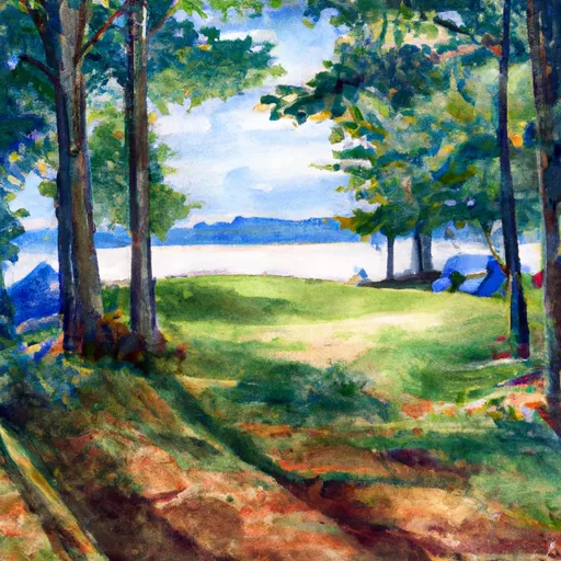
While staying at Ash-B, campers can explore the surrounding nature and engage in activities such as hiking and fishing. The campground is located in a beautiful natural setting, with lush forests and a scenic lake nearby. It is advisable to bring bug repellent, as mosquitoes can be quite prevalent in the area. Additionally, campers should be cautious of wildlife and follow proper food storage guidelines to prevent encounters with animals. Overall, Ash-B Camping Area provides a great opportunity to enjoy nature and spend quality time with family and friends in a tranquil environment.
°F
°F
mph
Wind
%
Humidity
15-Day Weather Outlook
Nearby Campgrounds
| Location | Reservations |
|---|---|
 ASH-B
ASH-B
|
|
 ASH-A
ASH-A
|
|
 BALSAM-A
|
|
 BALSAM-B
|
|
 Sylvania - Clark Lake
|
|
 Sylvania (Clark Lake) Campground
|
5-Day Hourly Forecast Detail
Nearby Streamflow Levels
Camping Essential Practices
Take all trash, food scraps, and gear back with you to keep campsites clean and protect wildlife.
Respect Wildlife
Observe animals from a distance, store food securely, and never feed wildlife to maintain natural behavior and safety.
Know Before You Go
Check weather, fire restrictions, trail conditions, and permit requirements to ensure a safe and well-planned trip.
Minimize Campfire Impact
Use established fire rings, keep fires small, fully extinguish them, or opt for a camp stove when fires are restricted.
Leave What You Find
Preserve natural and cultural features by avoiding removal of plants, rocks, artifacts, or other elements of the environment.
Related Links
Nearby Snowpack Depths
|
WATERSMEET 12WSW
|
0" |
|
LAND O LAKES
|
0" |
|
LAND O' LAKES 11.7 W
|
0" |
|
PAULDING
|
0" |
|
LAC VIEUX DESERT
|
0" |
|
BOULDER JUNCTION 1.4 NE
|
1" |

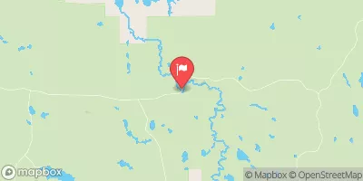
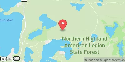
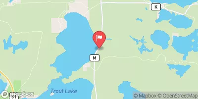
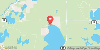
 Clearwater Road Watersmeet Township