TROWBRIDGE FALLS PARK

Amenities Weather Recreation


CAMPING ONTARIO

Trowbridge Falls Park


April 29, 2024

Trowbridge Falls Park is a beautiful camping area in Ontario that offers stunning views of the surrounding landscapes. It is located near the Canadian Shield and offers a variety of outdoor activities such as hiking, fishing, and swimming in the nearby rapids. Another popular attraction is the Kakabeka Falls, which is just a short drive from the park.

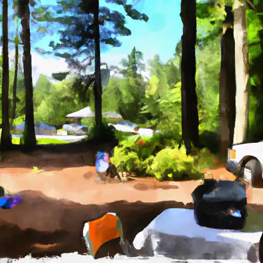
The campground itself offers a range of amenities such as showers, washrooms, and a playground for children. The park also offers first-come-first-serve camping and reservations can be made online ahead of time. There are roughly 100 campsites available for visitors.

An interesting fact about the area is that it was once a major transportation hub for the fur trade route, and the historic Dawson Trail runs through the park.

The best time of year to visit Trowbridge Falls Park is during the summer months, between June and August, when temperatures average around 22°C (71°F). It's important to note that the park can get busy during peak season, so it is recommended to make reservations in advance. Overall, Trowbridge Falls Park is a beautiful camping destination that offers great views, plenty of outdoor activities, and a range of amenities for visitors to enjoy.


Weather Outlook


16 Day Long Term Forecast

Seasonal Comparison


Historical Data


Rafting & Kayaking

BRIDGE AT EDDYVILLE BLACKTOP TO CONFLUENCE WITH OHIO RIVER AT GOLCONDA,IL
Lower Ohio-Bay Watershed, Illinois
THE CONFLUENCE WITH SCARSBOROUGH CREEK TO THE CONFLUENCE WITH THE ESCATAWPA RIVER
Escatawpa Watershed, Alabama
SOURCE, ABOUT 2 MILES EAST OF DELWOOD, IL (SEC 10, T11S, R6E) TO BRIDGE AT EDDYVILLE BLACKTOP (SE1/4,SEC.16,T12S, R6E)
Lower Ohio-Bay Watershed, Illinois
BEGINS APPROXIMATELY 1 RIVER MILE UPSTREAM FROM THE U.S. HIGHWAY 98 BRIDGE TO THE JACKSON COUNTY ROUTE 614 BRIDGE
Escatawpa Watershed, Alabama
THE JACKSON COUNTY ROUTE 614 BRIDGE TO ENDS APPROXIMATELY 2 RIVER MILES FROM THE SOUTHERN TERMINUS OF THE STUDY AREA
Escatawpa Watershed, Mississippi
RUSSELL CEMETERY, APPROX 1/4 MILE NORTH OF KARBERS RIDGE ROAD TO PROCLAMATION BOUNDARY, 1 MILE NW OF ELIZABETHTOWN,IL
Lower Ohio-Bay Watershed, Kentucky
1 MINLE SOUTHWEST OF DELWOOD, IL (SEC. 18, T11S, R13E) TO REESVILLE, 1/4 MILE SOUTH OF THE CONFLUENCE WITH SUGAR CREEK
Lower Ohio-Bay Watershed, Illinois
BEGINS APPROXIMATELY 2 RIVER MILES DOWNSTREAM FROM THE YELLOWHOUSE BRANCH CONFLUENCE WITH THE ESCATAWPA RIVER NEAR THE TOWN OF DEER PARK, ALABAMA TO ENDS APPROXIMATELY 1 RIVER MILE UPSTREAM FROM THE U.S. HIGHWAY 98 BRIDGE
Escatawpa Watershed, Illinois
1 MILE WEST OF ALTO PASS, IL TO 1/2 MILE SOUTH OF CONFLUENCE WITH CLEAR CREEK, WEST OF TRAIL OF TEARS STATE FOREST
Big Muddy Watershed, Mississippi
WALLACE CEMETERY APPROX 2.5 MILES NW OF HEROD, IL TO CONFLUENCE WITH OHIO RIVER AT GOLCONDA JOBS CORP CENTER
Lower Ohio-Bay Watershed, Wisconsin

Log Your Visit

When was your last visit to Trowbridge Falls Park?

Add a Photo

How was it? How were conditions?

Rate the camping


Submit

Leave A Review

Trowbridge Falls Park

Submit

Upload an Image

Trowbridge Falls Park

Favorite Limit Reached