Summary
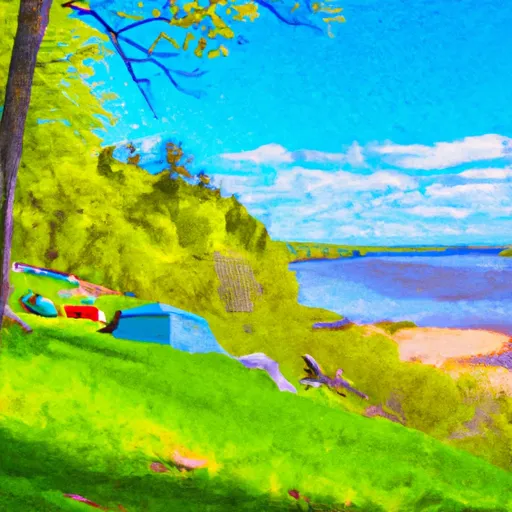
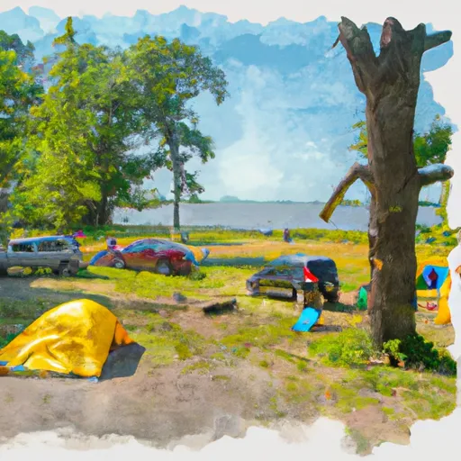
Croix National Scenic River camping area is located in the state of Wisconsin. This picturesque campground offers a variety of amenities to ensure a comfortable camping experience. Campers can enjoy spacious campsites, picnic tables, fire rings, and ample parking spaces. The campground also provides drinking water and pit toilets for the convenience of visitors.
Reservations are not accepted at County O Landing, as campsites are available on a first-come, first-served basis. It is advisable to arrive early, especially during peak seasons, to secure a campsite. The best time to visit this camping area is during the summer and fall months when the weather is pleasant and the scenic views are at their most vibrant.
One of the main attractions of County O Landing is the St. Croix National Scenic River. The campground offers easy access to this beautiful river, allowing campers to enjoy activities such as fishing, canoeing, and kayaking. The area is also known for its hiking trails, providing opportunities for nature enthusiasts to explore the surrounding forests and spot local wildlife.
However, it is important for campers to be cautious while camping at County O Landing. Wildlife encounters, specifically with black bears, can occur, so it is essential to practice proper food storage and disposal. Additionally, campers should be mindful of their surroundings and follow all safety guidelines provided by the campground authorities. By taking necessary precautions, visitors can enjoy a memorable camping experience at County O Landing - St. Croix National Scenic River camping area.
Weather Forecast
Nearby Streamflow Levels
 Snake River Near Pine City
|
131cfs |
 St. Croix River At St. Croix Falls
|
2290cfs |
 Kettle River Below Sandstone
|
170cfs |
 Rum River Near St. Francis
|
209cfs |
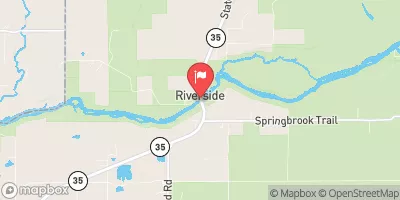 St. Croix River Near Danbury
|
1650cfs |
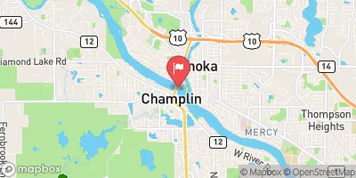 Mississippi River At Anoka
|
3240cfs |
Camping Essential Practices
Take all trash, food scraps, and gear back with you to keep campsites clean and protect wildlife.
Respect Wildlife
Observe animals from a distance, store food securely, and never feed wildlife to maintain natural behavior and safety.
Know Before You Go
Check weather, fire restrictions, trail conditions, and permit requirements to ensure a safe and well-planned trip.
Minimize Campfire Impact
Use established fire rings, keep fires small, fully extinguish them, or opt for a camp stove when fires are restricted.
Leave What You Find
Preserve natural and cultural features by avoiding removal of plants, rocks, artifacts, or other elements of the environment.
Related Links
Nearby Snowpack Depths
|
WILD RIVER STATE PARK
|
0" |
|
ST CROIX FALLS
|
0" |
|
FOREST LAKE 5NE
|
0" |
|
CUMBERLAND
|
0" |
|
SHELL LAKE 4.3 SW
|
0" |
|
BRUNO
|
0" |

 County O Landing - St. Croix National Scenic River
 County O Landing
 Old Railroad Bridge - St. Croix National Scenic River
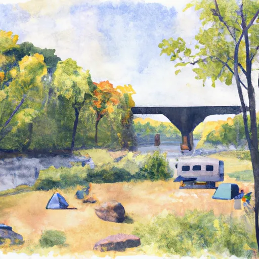 Old Rr Bridge
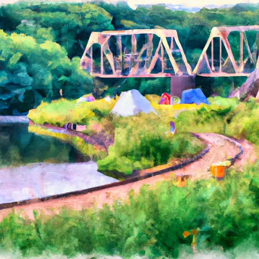 St Croix NSR -Old Railroad Bridge Landing
 St Croix NSR - Mile 82.7
 Rush City Ferry Landing
 Fish Lake Wildlife Area
 Governor Knowles State Forest
 Memory Lake Park