Summary
Reservations are recommended and fees apply. The campground features flush toilets, potable water, and easy pull-through RV access. Located near I-70, it’s a convenient stopover with a quiet, grassy setting and shaded sites. While not a wilderness experience, the park is well-maintained and peaceful. Nearby attractions include Wilson Lake, a popular spot for hiking, fishing, and boating. The best time to visit is spring through fall, when weather is mild and local events are in full swing.
Nearby Campgrounds
| Location | Reservations |
|---|---|
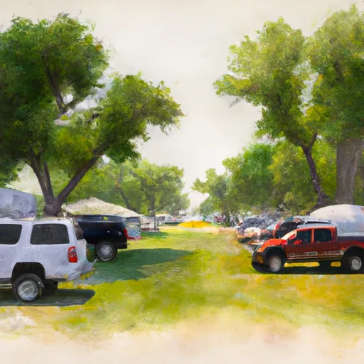 Four Oaks RV Park
|
|
 Pittsburg City
|
|
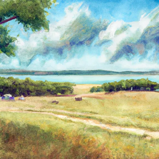 Crawford State Fishing Lake
|
|
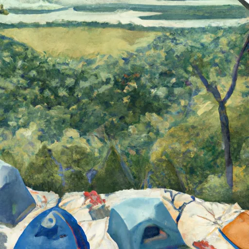 Backpack Camp
|
|
 Prairie State Park
|
Weather Forecast
Nearby Streamflow Levels
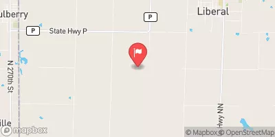 East Drywood Creek At Prairie State Park
|
0cfs |
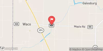 Spring River Near Waco
|
51cfs |
 Lightning C Nr Mccune
|
1cfs |
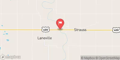 Neosho R Nr Parsons
|
700cfs |
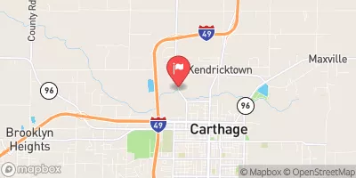 Spring River At Carthage
|
38cfs |
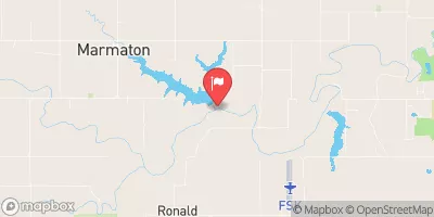 Marmaton R Nr Marmaton
|
194cfs |
Camping Essential Practices
Take all trash, food scraps, and gear back with you to keep campsites clean and protect wildlife.
Respect Wildlife
Observe animals from a distance, store food securely, and never feed wildlife to maintain natural behavior and safety.
Know Before You Go
Check weather, fire restrictions, trail conditions, and permit requirements to ensure a safe and well-planned trip.
Minimize Campfire Impact
Use established fire rings, keep fires small, fully extinguish them, or opt for a camp stove when fires are restricted.
Leave What You Find
Preserve natural and cultural features by avoiding removal of plants, rocks, artifacts, or other elements of the environment.

 Schlanger Park
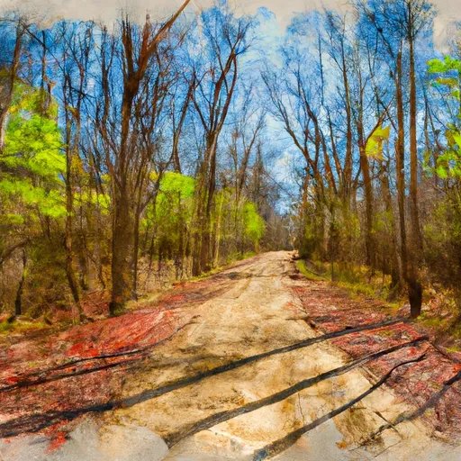 Lester R Davis Memorial State Forest
 Prairie State Park
 Hunkah Prairie Natural Area