Summary
°F
°F
mph
Wind
%
Humidity
15-Day Weather Outlook
5-Day Hourly Forecast Detail
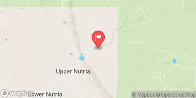
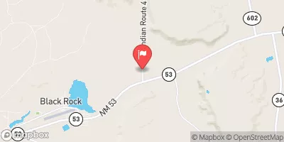
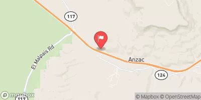
Nearby Streamflow Levels
Camping Essential Practices
Take all trash, food scraps, and gear back with you to keep campsites clean and protect wildlife.
Respect Wildlife
Observe animals from a distance, store food securely, and never feed wildlife to maintain natural behavior and safety.
Know Before You Go
Check weather, fire restrictions, trail conditions, and permit requirements to ensure a safe and well-planned trip.
Minimize Campfire Impact
Use established fire rings, keep fires small, fully extinguish them, or opt for a camp stove when fires are restricted.
Leave What You Find
Preserve natural and cultural features by avoiding removal of plants, rocks, artifacts, or other elements of the environment.
Related Links
Nearby Snowpack Depths
|
NOHRSC RAMAH 3.1 ENE
|
0" |
|
NOHRSC RICE PARK
|
1" |
|
RICE PARK
|
0" |
|
NOHRSC PREWITT 5.5 NNE
|
0" |
|
GALLUP SAND AND GRAVEL
|
0" |


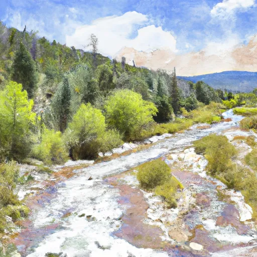
 Headwaters (Off Continental Divide) To Nf Boundary With Private Land