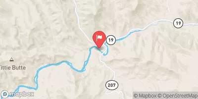
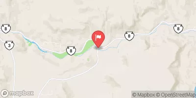
Summary
The campground provides spacious and well-maintained campsites with facilities such as picnic tables, fire pits, and access to clean drinking water. Some sites even have electrical hookups available. As for restroom facilities, there are well-maintained toilets and showers on-site, ensuring a comfortable camping experience.
Reservations are accepted at J78.50L camping area, allowing campers to secure their desired campsite in advance. This is especially recommended during peak seasons when the campground tends to get busy. It is advisable to check for availability and make reservations ahead of time to ensure a smooth camping trip.
The best time to visit J78.50L camping area is during the summer months, typically from June to September, when the weather is pleasant and conducive for outdoor activities. Campers can enjoy activities like hiking, fishing, and wildlife spotting in the surrounding area. However, it is important to note that the campground can get crowded during weekends and holidays, so planning accordingly is essential.
While camping at J78.50L, visitors should be cautious of potential wildlife encounters, especially bears. It is recommended to properly store food and dispose of trash in designated bear-proof containers to minimize the risk. Additionally, being aware of fire safety regulations and respecting the campground rules will contribute to a safe and enjoyable camping experience.
°F
°F
mph
Wind
%
Humidity
15-Day Weather Outlook
5-Day Hourly Forecast Detail
Nearby Streamflow Levels
Camping Essential Practices
Take all trash, food scraps, and gear back with you to keep campsites clean and protect wildlife.
Respect Wildlife
Observe animals from a distance, store food securely, and never feed wildlife to maintain natural behavior and safety.
Know Before You Go
Check weather, fire restrictions, trail conditions, and permit requirements to ensure a safe and well-planned trip.
Minimize Campfire Impact
Use established fire rings, keep fires small, fully extinguish them, or opt for a camp stove when fires are restricted.
Leave What You Find
Preserve natural and cultural features by avoiding removal of plants, rocks, artifacts, or other elements of the environment.
Related Links
Nearby Snowpack Depths
|
HEPPNER
|
0" |
|
MADISON BUTTE
|
0" |
|
NOHRSC MADISON BUTTE
|
0" |
|
NOHRSC FIFTEENMILE SNOTEL
|
0" |
|
OCHOCO MEADOWS
|
0" |
|
OCHOCO MEADOWS
|
0" |

 J78.50L
 J78.57L
 J78.00R
 J79.05R
 J77.85R
 J77.70L
