Summary
No reservations or permits required; a $10/night fee applies. Amenities are minimal: vault toilets available, but no water, picnic tables, fire rings, or hookups. RVs are allowed, but the area is unpaved and rugged. The experience is raw and scenic—perched above the dramatic San Juan River goosenecks in a stark desert setting. Sunsets and stargazing are exceptional. Nearby attractions include Valley of the Gods and Monument Valley. Best visited in spring or fall for mild temperatures and clear skies. This is a quiet, remote experience for self-sufficient campers.
°F
°F
mph
Wind
%
Humidity
15-Day Weather Outlook
5-Day Hourly Forecast Detail
Nearby Streamflow Levels
Camping Essential Practices
Take all trash, food scraps, and gear back with you to keep campsites clean and protect wildlife.
Respect Wildlife
Observe animals from a distance, store food securely, and never feed wildlife to maintain natural behavior and safety.
Know Before You Go
Check weather, fire restrictions, trail conditions, and permit requirements to ensure a safe and well-planned trip.
Minimize Campfire Impact
Use established fire rings, keep fires small, fully extinguish them, or opt for a camp stove when fires are restricted.
Leave What You Find
Preserve natural and cultural features by avoiding removal of plants, rocks, artifacts, or other elements of the environment.
Related Links
Nearby Snowpack Depths
|
BLUFF
|
0" |
|
HOVENWEEP NATIONAL MONUMENT
|
0" |
|
BULLFROG BASIN
|
0" |
|
CAMP JACKSON
|
0" |
|
CAMP JACKSON
|
0" |
|
BUCKBOARD FLAT
|
0" |

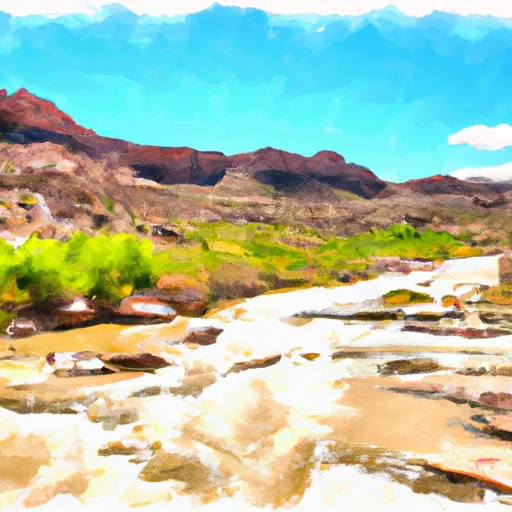 San Juan River
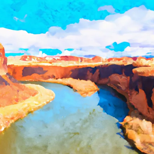 Eastern Boundary Of Glen Canyon National Recreation Area To Confluence With Colorado River/Lake Powell