Belle

Climate Recreation Community Catastrophe

Belle
Eden Index

Climate 8.3 Recreation 3.4 Community 1.4 Safeguard

4.8/10

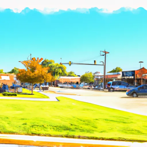
Belle, Missouri is a small town located in the central part of the state. The climate in Belle is typical of the Midwest with hot summers, cold winters, and moderate precipitation throughout the year. The town is situated near the Gasconade River, which contributes to the hydrology constituents of the area. Outdoor recreation opportunities in Belle include hunting, fishing, and camping along the Gasconade River. The town also has a small park with a walking trail and playground equipment. Overall, Belle is a quiet town with a focus on outdoor activities and a close-knit community.

What is the Eden Index?

The Snoflo Eden Index serves as a comprehensive rating system for regions, evaluating their desirability through a holistic assessment of climate health, outdoor recreation opportunities, and natural disaster risk, acknowledging the profound impact of these factors on livability and well-being.


Climate Health Indicator (CHI): 8.3


Belle receives approximately 1101mm of rain per year, with humidity levels near 86% and air temperatures averaging around 13°C. Belle has a plant hardyness factor of 6, meaning plants and agriculture in this region thrive during a short period during spring and early summer. Most plants will die off during the colder winter months. By considering the ideal temperature range, reliable water supplies, clean air, and stable seasonal rain or snowpacks, the Climate Health Indicator (CHI) underscores the significance of a healthy climate as the foundation for quality living.

A healthy climate is paramount for ensuring a high quality of life and livability in a region, fostering both physical well-being and environmental harmony. This can be characterized by ideal temperatures, reliable access to water supplies, clean air, and consistent seasonal rain or snowpacks.


Weather Forecast


Streamflow Conditions

Gasconade

Area Rivers

Gasconade


Snowpack Depths

Gasconade


Reservoir Storage Capacity

Gasconade


Groundwater Levels


Recreational Opportunity Index (ROI): 3.4


The Recreational Opportunity Index (ROI) recognizes the value of outdoor recreational options, such as parks, hiking trails, camping sites, and fishing spots, while acknowledging that climate plays a pivotal role in ensuring the comfort and consistency of these experiences. Access to outdoor recreational opportunities, encompassing activities such as parks, hiking, camping, and fishing, is crucial for overall well-being, and the climate plays a pivotal role in enabling and enhancing these experiences, ensuring that individuals can engage in nature-based activities comfortably and consistently.


Camping Areas

Campground Campsites Reservations Toilets Showers Elevation
Buffalo Creek Area None 1,021 ft
Myron County Park 45 1,011 ft
Prairie Island City Campground 90 662 ft
Troy Mills Wapsi Access Dispersed None 869 ft
Shimek State Forest None 691 ft
Coffins Grove 25 971 ft
Three Elms County Park None 929 ft
Pleasant Creek State Rec Area 69 846 ft
Mac Coon Access None 614 ft
Battle of Athens State Park None 664 ft
Goeken Co Park None 1,181 ft
Benton City - Fry Area 25 843 ft
Lake Darling State Park 118 688 ft
Maynard City Park None 1,092 ft
Round Prairie Park None 723 ft
Southworth County Park None 1,072 ft
F. W. Kent County Park 85 840 ft
Veterans Memorial Park - Cameron 30 1,102 ft
John Latsch State Park 7 670 ft
Duttons Cave Co Park 5 1,218 ft
Middle Amana Park 24 742 ft
Water Works Park 30 573 ft
Morgan Creek County Park 36 744 ft
Joy Springs County Park None 1,084 ft
Twin Bridges County Park 45 1,051 ft
Ray Behrens None 677 ft
Jakway County Park None 1,074 ft
Midwest Old Threshers None 689 ft
Waterworks Park - Oakland Mills Park None 575 ft
Reicks Lake Park None 670 ft
Frank Russell None 704 ft
Lakeview Park - Mexico None 810 ft
Marr Park 26 744 ft
Trulock - Arkansas River 15 195 ft
Veterans Memorial County Park None 898 ft
Mondovi Town Park 6 822 ft
Rising Star None 196 ft
Oakland Mills Park 50 573 ft
Gouldsburg County Park 26 993 ft
Paydown Access - MDC 6 596 ft
Merrick State Park 65 654 ft
Brinton Timber None 721 ft
Scout Park - Lamont None 1,034 ft
Akers None 818 ft
Fontana County Park 55 986 ft
Montauk State Park None 910 ft
Buffalo Creek County Park 18 914 ft
Independence City RV Park None 896 ft
Squaw Creek County Park 60 786 ft
Klocks Island Park 25 1,012 ft
Rollins Ferry Access - MDC 11 568 ft
Mark Twain State Park None 666 ft
Volga River State Rec Area 41 930 ft
Backbone State Park 125 1,154 ft
Indian Lake Park None 595 ft
Chemin - A - Haut State Park None 125 ft
Bentonsport None 561 ft
Cane Creek State park None 257 ft
Oelwein City Park 30 1,013 ft
Graham Cave State Park None 778 ft
Lane Spring 64 1,069 ft
Chamois Access - MDC 4 530 ft
Wildcat Bluff County Park 50 774 ft

Catastrophe Safeguard Index (CSI):


The Catastrophe Safeguard Index (CSI) recognizes that natural disaster risk, encompassing floods, fires, hurricanes, and tornadoes, can drastically affect safety and the overall appeal of an area. The level of natural disaster risk in a region significantly affects safety and the overall livability, with climate change amplifying these risks by potentially increasing the frequency and intensity of events like floods, fires, hurricanes, and tornadoes, thereby posing substantial challenges to community resilience and well-being.


Community Resilience Indicator (CRI): 1.4


The Community Resilience Indicator (CRI) recognizes that education, healthcare, and socioeconomics are crucial to the well-being of a region. The CRI acknowledges the profound impact of these elements on residents' overall quality of life. By evaluating educational resources, healthcare accessibility, and economic inclusivity, the index captures the essential aspects that contribute to a thriving community, fostering resident satisfaction, equity, and social cohesion.


Log Your Visit

When was your last visit to ?

Add a Photo

How was it? How were conditions?

Rate the


Submit

Leave A Review


Submit

Upload an Image


Favorite Limit Reached