°F
°F
mph
Windspeed
%
Humidity


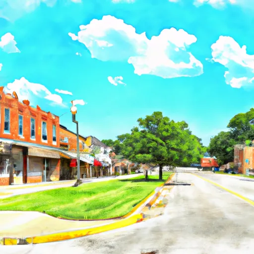
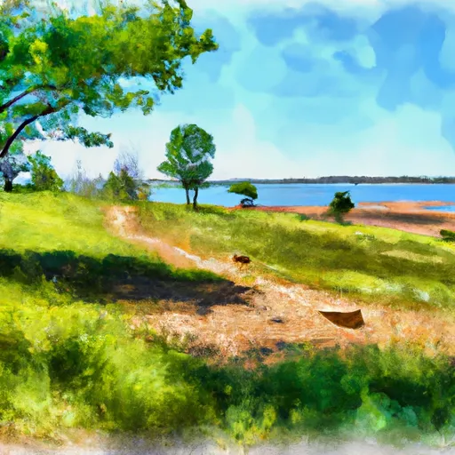
Carthage, Missouri is located in the southwestern part of the state and has a humid subtropical climate with hot summers and cold winters. The region receives an average of 45 inches of rainfall per year, and the hydrology constituents include the Spring and Center Creeks, which flow through the city. Outdoor recreation opportunities in Carthage include fishing and boating on these creeks, as well as hiking and camping at nearby parks such as the Roaring River State Park and the Big Sugar Creek State Park. The city also has several public parks with playgrounds, picnic areas, and sports fields for residents and visitors to enjoy.
Weather Forecast
Carthage receives approximately 1137mm of rain per year, with humidity levels near 80% and air temperatures averaging around 14°C. Carthage has a plant hardyness factor of 6, meaning plants and agriculture in this region thrive during a short period during spring and early summer. Most plants will die off during the colder winter months.
Regional Streamflow Levels
29,100
Cubic Feet Per Second
252
Cubic Feet Per Second
34
Cubic Feet Per Second
7
Cubic Feet Per Second
Nearby Camping
| Camping Area | Reservations | Toilets | Showers |
|---|---|---|---|
| Queen Wilhelmina State Park | |||
| Sand Bar Bridge - Cossatot River State Park | |||
| Fort Chaffee RV Military | |||
| Cossatot Falls - Cossatot River State Park | |||
| Lanagan Access City Park | |||
| Little Pines |


