Davisville

Climate Recreation Community Catastrophe

Davisville
Eden Index

Climate 8.3 Recreation 4.5 Community Safeguard

4.9/10

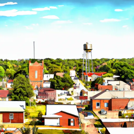
Davisville, Missouri is a small town located in Crawford County. The climate in Davisville is considered humid continental, with hot summers and cold winters. The town is situated near the headwaters of the Meramec River, which is a major source of hydrology constituents. Outdoor recreation enthusiasts can enjoy hiking or biking on the Ozark Trail, which runs through the nearby Mark Twain National Forest. There are also several opportunities for fishing, kayaking, and canoeing on the Meramec River. The area is known for its beautiful natural scenery, wildlife, and outdoor recreation opportunities.

What is the Eden Index?

The Snoflo Eden Index serves as a comprehensive rating system for regions, evaluating their desirability through a holistic assessment of climate health, outdoor recreation opportunities, and natural disaster risk, acknowledging the profound impact of these factors on livability and well-being.


Climate Health Indicator (CHI): 8.3


Davisville receives approximately 1132mm of rain per year, with humidity levels near 86% and air temperatures averaging around 13°C. Davisville has a plant hardyness factor of 6, meaning plants and agriculture in this region thrive during a short period during spring and early summer. Most plants will die off during the colder winter months. By considering the ideal temperature range, reliable water supplies, clean air, and stable seasonal rain or snowpacks, the Climate Health Indicator (CHI) underscores the significance of a healthy climate as the foundation for quality living.

A healthy climate is paramount for ensuring a high quality of life and livability in a region, fostering both physical well-being and environmental harmony. This can be characterized by ideal temperatures, reliable access to water supplies, clean air, and consistent seasonal rain or snowpacks.


Weather Forecast


Streamflow Conditions

Upper Mississippi-Meramec

Area Rivers

Upper Mississippi-Meramec


Snowpack Depths

Upper Mississippi-Meramec


Reservoir Storage Capacity

Upper Mississippi-Meramec


Groundwater Levels


Recreational Opportunity Index (ROI): 4.5


The Recreational Opportunity Index (ROI) recognizes the value of outdoor recreational options, such as parks, hiking trails, camping sites, and fishing spots, while acknowledging that climate plays a pivotal role in ensuring the comfort and consistency of these experiences. Access to outdoor recreational opportunities, encompassing activities such as parks, hiking, camping, and fishing, is crucial for overall well-being, and the climate plays a pivotal role in enabling and enhancing these experiences, ensuring that individuals can engage in nature-based activities comfortably and consistently.


Camping Areas

Campground Campsites Reservations Toilets Showers Elevation
Fountain Springs County Park None 1,006 ft
Sugar Creek City Campground None 618 ft
Little Scotia Dispersed None 1,362 ft
Natchez State Park None 236 ft
Riverfront RV Park None 178 ft
Two Rivers - Ozark National Scenic River None 608 ft
Merrisach Lake Park - Merrisach Lake None 169 ft
Silver Lake County Park None 1,029 ft
Meramec State Park None 613 ft
Central Park 100 978 ft
Kemper Williams Parish Park None 5 ft
Ninemile Lake 24 1,644 ft
Lower Augusta Skunk River Access None 555 ft
Moon Lake City Park 29 1,110 ft
Bruce Village Park None 1,104 ft
Kawishiwi Lake 5 1,660 ft
Eckbeck ? Finland State Forest 31 1,065 ft
Virginia Grove Rec Area None 769 ft
Veterans Memorial Park - West Salem 110 689 ft
Saulsbury Bridge 35 614 ft
Hubinger Landing Park 18 503 ft
Watercress 114 523 ft
Finland - Finland State Forest 39 1,314 ft
Crystal Lake Park - Strum 40 887 ft
Farr Park 108 26 ft
Hixton Village Campground 20 943 ft
Wapello Fairgrounds Park None 587 ft
Owls Bend - Powder Mill None 556 ft
Grays Landing None 559 ft
Carthage City Park None 666 ft
Louisa County Fairgrounds 10 579 ft
Great River Road State Park None 150 ft
Chicot County RV Park 98 111 ft
Notrebes Bend None 160 ft
Twin Bear County Park None 1,042 ft
Blanchard Island - Mississippi River 35 556 ft
Big Spring - Ozark National Scenic River 123 727 ft
Grand Gulf Military Park 42 238 ft
Clear Spgs Rec Area 45 317 ft
Snively Access 30 656 ft
Powder Mill - Ozark National Scenic River 8 561 ft
Pendleton Bend None 172 ft
Greer Crossing 72 564 ft
Round Spring - Ozark National Scenic River None 673 ft
Red Bluff 109 821 ft
Victory Park 5 510 ft
Roberts Field None 561 ft
Geode State Park 170 699 ft
New Wine County Park 55 1,002 ft
Wapsipinicon State Park 25 825 ft
Harriet Lake 13 1,766 ft
Welter Recreation Park None 555 ft
Warfield Point Park None 132 ft
Wanoka 20 1,131 ft
Riverside Memorial Park None 844 ft
Lake Wissota State Park None 947 ft
Onondaga Cave State Park None 791 ft
Turtle Creek County Park 30 982 ft
Edgewood Campground None 1,165 ft
Dupont Reservation Conservation Area - MDC 20 460 ft
Sutton Bluff 45 820 ft
Oak Grove City Park 30 117 ft
Berryman 19 1,009 ft
Coon Fork Lake None 990 ft
Big Hollow Creek Park 48 734 ft
Jerktail Landing None 657 ft
Namekagon 34 1,453 ft
George Crosby - Manitou State Park 20 1,431 ft
Harstad Park 27 930 ft
Col Larson County Park None 805 ft
Split Rock Lighthouse State Park 25 714 ft
Lake Bruin State Park None 75 ft
Lake End City Park 74 4 ft
Yellow River State Forest 150 645 ft
Fair Hill County Campground 30 917 ft
Ferry Landing 50 604 ft
Town of Clover None 607 ft
Delta Lake County Park 34 1,071 ft
Two Lakes 90 1,412 ft
Wilbur D Mills None 188 ft
Blackhawk Park - DeSoto 150 630 ft
Cappy Russell Access Dispersed None 554 ft
Loggers Lake 29 1,160 ft
Lake Chicot State Park None 128 ft
Tettegouche State Park 30 872 ft
Henderson County State Conservation 35 554 ft
Pictured Rocks Co Park None 885 ft
Flaming Prairie Park 24 541 ft
Matsell Bridge Natural Area 70 819 ft
Hazel Creek None 846 ft
Upper Augusta Skunk River Access None 557 ft
Lake End Park 167 4 ft

Catastrophe Safeguard Index (CSI):


The Catastrophe Safeguard Index (CSI) recognizes that natural disaster risk, encompassing floods, fires, hurricanes, and tornadoes, can drastically affect safety and the overall appeal of an area. The level of natural disaster risk in a region significantly affects safety and the overall livability, with climate change amplifying these risks by potentially increasing the frequency and intensity of events like floods, fires, hurricanes, and tornadoes, thereby posing substantial challenges to community resilience and well-being.


Community Resilience Indicator (CRI):


The Community Resilience Indicator (CRI) recognizes that education, healthcare, and socioeconomics are crucial to the well-being of a region. The CRI acknowledges the profound impact of these elements on residents' overall quality of life. By evaluating educational resources, healthcare accessibility, and economic inclusivity, the index captures the essential aspects that contribute to a thriving community, fostering resident satisfaction, equity, and social cohesion.


Log Your Visit

When was your last visit to ?

Add a Photo

How was it? How were conditions?

Rate the


Submit

Leave A Review


Submit

Upload an Image


Favorite Limit Reached