Hillister

Climate Recreation Community Catastrophe

Hillister
Eden Index

Climate 7.6 Recreation 5.1 Community Safeguard

4.8/10

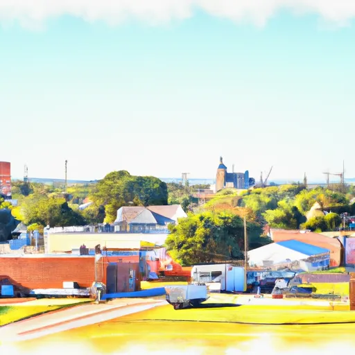
Hillister is a small town located in Tyler County, Texas. The climate in Hillister is characterized as humid subtropical, with hot summers and mild winters. Summers are usually hot and humid, with temperatures often reaching the mid to high 90s Fahrenheit. Winters are generally mild, with temperatures rarely dropping below freezing.

Hydrology constituents in Hillister primarily include the Neches River and its tributaries. The Neches River is one of the major waterways in Texas and provides a source of water for various recreational activities and wildlife habitats in the area.

Hillister offers several outdoor recreation opportunities for residents and visitors alike. The town is surrounded by beautiful natural landscapes, including forests and lakes, making it an ideal location for outdoor enthusiasts. Fishing, boating, and swimming are popular activities in the area, with several lakes and rivers nearby. Additionally, there are numerous camping and hiking opportunities available in the surrounding state parks and national forests. Hillister's natural beauty and diverse outdoor recreation opportunities make it an attractive destination for nature lovers and adventure seekers.

What is the Eden Index?

The Snoflo Eden Index serves as a comprehensive rating system for regions, evaluating their desirability through a holistic assessment of climate health, outdoor recreation opportunities, and natural disaster risk, acknowledging the profound impact of these factors on livability and well-being.


Climate Health Indicator (CHI): 7.6


Hillister receives approximately 1427mm of rain per year, with humidity levels near 80% and air temperatures averaging around 20°C. Hillister has a plant hardyness factor of 8, meaning plants and agriculture in this region tend to thrive here all year round. By considering the ideal temperature range, reliable water supplies, clean air, and stable seasonal rain or snowpacks, the Climate Health Indicator (CHI) underscores the significance of a healthy climate as the foundation for quality living.

A healthy climate is paramount for ensuring a high quality of life and livability in a region, fostering both physical well-being and environmental harmony. This can be characterized by ideal temperatures, reliable access to water supplies, clean air, and consistent seasonal rain or snowpacks.


Weather Forecast


Streamflow Conditions

Neches

Area Rivers

Neches


Snowpack Depths

Neches


Reservoir Storage Capacity

Neches


Groundwater Levels


Recreational Opportunity Index (ROI): 5.1


The Recreational Opportunity Index (ROI) recognizes the value of outdoor recreational options, such as parks, hiking trails, camping sites, and fishing spots, while acknowledging that climate plays a pivotal role in ensuring the comfort and consistency of these experiences. Access to outdoor recreational opportunities, encompassing activities such as parks, hiking, camping, and fishing, is crucial for overall well-being, and the climate plays a pivotal role in enabling and enhancing these experiences, ensuring that individuals can engage in nature-based activities comfortably and consistently.


Camping Areas

Campground Campsites Reservations Toilets Showers Elevation
Ebenezer - Sam Rayburn Reservoir 30 192 ft
Piney Point - Wright Patman Lake 70 298 ft
Winnie - Stowell County Park None 22 ft
Thomas Lake Park Dispersed None 241 ft
Cass County Park 46 244 ft
Hanks Creek - Sam Rayburn Reservoir 45 181 ft
Atlanta State Park 60 286 ft
Buckhorn Creek - Lake Of The Pines 60 283 ft
Cassells - Boykin County Park 96 195 ft
Hurricane Creek - Lake of the Pines 23 226 ft
Caddo Lake State Park 28 281 ft
Caney Creek 25 164 ft
Jackson Hill - Sam Rayburn Reservoir None 187 ft
Campers Cove - Town Bluff Reservoir None 93 ft
Rollover Pass 40 3 ft
Boykin Spring 25 220 ft
Elliott Lake Military - Red River None 290 ft
Shirley Creek - Sam Rayburn Reservoir None 202 ft
Martin Dies State Park 225 88 ft
Jackson Creek Park - Lake Texarkana None 327 ft
Sandy Creek - Town Bluff Reservoir 70 112 ft
Sandy Creek 15 161 ft
Clear Springs - Wright Patman Lake 100 259 ft
Rocky Point - Wright Patman Lake 125 259 ft
Lake Tejas City Park None 226 ft
Mission Dolores City RV Park 32 345 ft
Malden Lake - Wright Pattman Lake 39 259 ft
Tinkle Park - Lake Murvaul None 275 ft
Intake Hill Park- Wright Patman Lake None 251 ft
Harvey Creek 34 163 ft
Kelly Creek Park - Lake Wright Patman 80 252 ft
Rosie Jones Park - Lake Murvaul None 286 ft
Magnolia Ridge - Town Bluff Reservoir 40 90 ft
Townsend 47 176 ft
Rayburn - Sam Rayburn Reservoir 70 183 ft
Bouton Lake 7 144 ft
Village Creek State Park 41 36 ft
Herron Creek - Wright Patman Reservoir 100 267 ft

Catastrophe Safeguard Index (CSI):


The Catastrophe Safeguard Index (CSI) recognizes that natural disaster risk, encompassing floods, fires, hurricanes, and tornadoes, can drastically affect safety and the overall appeal of an area. The level of natural disaster risk in a region significantly affects safety and the overall livability, with climate change amplifying these risks by potentially increasing the frequency and intensity of events like floods, fires, hurricanes, and tornadoes, thereby posing substantial challenges to community resilience and well-being.


Community Resilience Indicator (CRI):


The Community Resilience Indicator (CRI) recognizes that education, healthcare, and socioeconomics are crucial to the well-being of a region. The CRI acknowledges the profound impact of these elements on residents' overall quality of life. By evaluating educational resources, healthcare accessibility, and economic inclusivity, the index captures the essential aspects that contribute to a thriving community, fostering resident satisfaction, equity, and social cohesion.


Log Your Visit

When was your last visit to ?

Add a Photo

How was it? How were conditions?

Rate the


Submit

Leave A Review


Submit

Upload an Image


Favorite Limit Reached