Iberville

Climate Recreation Community Catastrophe

Iberville
Eden Index

Climate 7.3 Recreation 3.4 Community 3.8 Safeguard

5.1/10

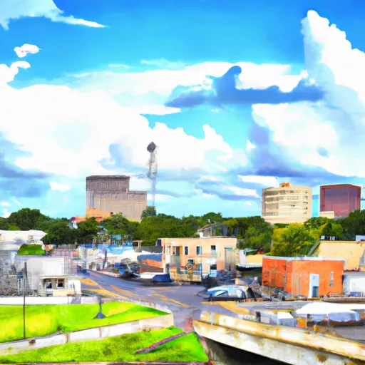
Iberville, Louisiana is a vibrant parish located in the southern part of the state. Known for its rich history, diverse culture, and beautiful landscapes, Iberville offers a unique experience for both residents and visitors alike.

The climate in Iberville is characterized as subtropical, with hot and humid summers and mild winters. Summers are typically long, with temperatures often exceeding 90°F (32°C), while winters are relatively short and mild, rarely dropping below freezing. The region experiences high annual rainfall, with frequent thunderstorms and occasional hurricanes during the summer months.

Iberville is surrounded by water, with the Mississippi River to the east and the Atchafalaya River to the west. These waterways, along with numerous bayous and swamps, make up the hydrology constituents of the area. The parish is home to vast wetlands, providing a habitat for diverse wildlife and creating a unique ecosystem.

Outdoor recreation opportunities in Iberville are plentiful. The area offers excellent fishing, boating, and kayaking in its rivers, bayous, and lakes. Nature enthusiasts can explore the scenic landscapes through hiking and birdwatching in the many wildlife management areas and nature reserves. Additionally, Iberville boasts historical sites, such as the renowned Nottoway Plantation and the Iberville Museum, providing visitors with a glimpse into the region's rich history.

What is the Eden Index?

The Snoflo Eden Index serves as a comprehensive rating system for regions, evaluating their desirability through a holistic assessment of climate health, outdoor recreation opportunities, and natural disaster risk, acknowledging the profound impact of these factors on livability and well-being.


Climate Health Indicator (CHI): 7.3


Iberville receives approximately 1505mm of rain per year, with humidity levels near 89% and air temperatures averaging around 20°C. Iberville has a plant hardyness factor of 9, meaning plants and agriculture in this region tend to thrive here all year round. By considering the ideal temperature range, reliable water supplies, clean air, and stable seasonal rain or snowpacks, the Climate Health Indicator (CHI) underscores the significance of a healthy climate as the foundation for quality living.

A healthy climate is paramount for ensuring a high quality of life and livability in a region, fostering both physical well-being and environmental harmony. This can be characterized by ideal temperatures, reliable access to water supplies, clean air, and consistent seasonal rain or snowpacks.


Weather Forecast


Streamflow Conditions

Lower Mississippi-Baton Rouge

Area Rivers

Lower Mississippi-Baton Rouge


Snowpack Depths

Lower Mississippi-Baton Rouge


Reservoir Storage Capacity

Lower Mississippi-Baton Rouge


Groundwater Levels


Recreational Opportunity Index (ROI): 3.4


The Recreational Opportunity Index (ROI) recognizes the value of outdoor recreational options, such as parks, hiking trails, camping sites, and fishing spots, while acknowledging that climate plays a pivotal role in ensuring the comfort and consistency of these experiences. Access to outdoor recreational opportunities, encompassing activities such as parks, hiking, camping, and fishing, is crucial for overall well-being, and the climate plays a pivotal role in enabling and enhancing these experiences, ensuring that individuals can engage in nature-based activities comfortably and consistently.


Camping Areas

Campground Campsites Reservations Toilets Showers Elevation
Keithsburg Riverside Campground 60 541 ft
Wilbur D Mills None 188 ft
Grand Gulf Military Park 42 238 ft
Dupont Reservation Conservation Area - MDC 20 460 ft
Weinberg - King State Park 19 590 ft
Flaming Prairie Park 24 541 ft
Council Bluff - Wild Boar Ridge 100 1,268 ft
Watercress 114 523 ft
Saulsbury Bridge 35 614 ft
Meramec State Park None 613 ft
Cuivre River State Park 94 658 ft
Carthage City Park None 666 ft
Big Hollow Creek Park 48 734 ft
Delabar State Park 60 575 ft
Siloam Springs State Park 180 690 ft
Fourth Pumping Plant Rec Area 22 531 ft
Big River State Forest 100 541 ft
Owls Bend - Powder Mill None 556 ft
Fairport State Rec Area 40 566 ft
Lake End City Park 74 4 ft
Henderson County State Conservation 35 554 ft
Cappy Russell Access Dispersed None 554 ft
Natchez State Park None 236 ft
Lake Bruin State Park None 75 ft
Kemper Williams Parish Park None 5 ft
Lower Augusta Skunk River Access None 555 ft
Blanchard Island - Mississippi River 35 556 ft
Deer Leap 46 338 ft
Welter Recreation Park None 555 ft
Great River Road State Park None 150 ft
Jerktail Landing None 657 ft
Powder Mill - Ozark National Scenic River 8 561 ft
Lamar Dixon Expo RV Center 300 11 ft
Leroy Percy State Park None 108 ft
Farr Park 108 26 ft
Lake End Park 167 4 ft
Clear Spgs Rec Area 45 317 ft
Lake Charlie Capps None 146 ft
Two Rivers - Ozark National Scenic River None 608 ft
Hazel Creek None 846 ft
Onondaga Cave State Park None 791 ft
Sutton Bluff 45 820 ft
Chicot County RV Park 98 111 ft
Wapello Fairgrounds Park None 587 ft
Warfield Point Park None 132 ft
Roberts Field None 561 ft
Red Bluff 109 821 ft
Loggers Lake 29 1,160 ft
Notrebes Bend None 160 ft
Merrisach Lake Park - Merrisach Lake None 169 ft
Big Spring - Ozark National Scenic River 123 727 ft
Upper Augusta Skunk River Access None 557 ft
Snively Access 30 656 ft
Lake Chicot State Park None 128 ft
Berryman 19 1,009 ft
Ferry Landing 50 604 ft

Catastrophe Safeguard Index (CSI):


The Catastrophe Safeguard Index (CSI) recognizes that natural disaster risk, encompassing floods, fires, hurricanes, and tornadoes, can drastically affect safety and the overall appeal of an area. The level of natural disaster risk in a region significantly affects safety and the overall livability, with climate change amplifying these risks by potentially increasing the frequency and intensity of events like floods, fires, hurricanes, and tornadoes, thereby posing substantial challenges to community resilience and well-being.


Community Resilience Indicator (CRI): 3.8


The Community Resilience Indicator (CRI) recognizes that education, healthcare, and socioeconomics are crucial to the well-being of a region. The CRI acknowledges the profound impact of these elements on residents' overall quality of life. By evaluating educational resources, healthcare accessibility, and economic inclusivity, the index captures the essential aspects that contribute to a thriving community, fostering resident satisfaction, equity, and social cohesion.


Log Your Visit

When was your last visit to ?

Add a Photo

How was it? How were conditions?

Rate the


Submit

Leave A Review


Submit

Upload an Image


Favorite Limit Reached