Lodi

Climate Recreation Community Catastrophe

Lodi
Eden Index

Climate 9.4 Recreation 1.6 Community Safeguard

4.3/10

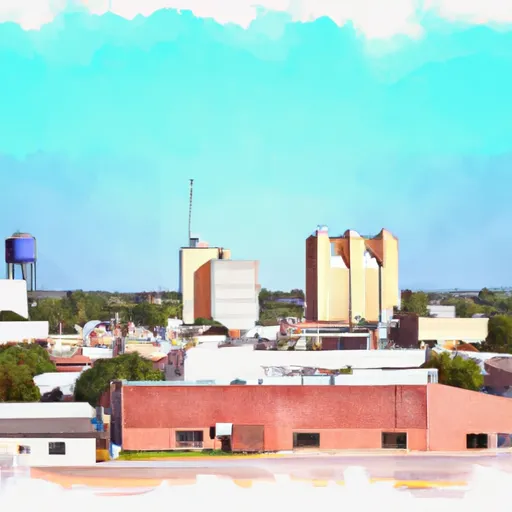
Lodi, Texas is a small town located in the northern part of the state. The climate in Lodi is characterized by hot summers and mild winters. Summers are typically hot and humid, with temperatures often reaching the upper 90s°F (around 35°C), while winters are generally mild with temperatures rarely dropping below freezing. Precipitation is evenly distributed throughout the year, with an average annual rainfall of around 40 inches.

In terms of hydrology, Lodi is located near the Piney Woods region, known for its numerous rivers, creeks, and reservoirs. The nearby Sulphur River is a popular spot for fishing and boating enthusiasts. It offers opportunities to catch various fish species, including bass, crappie, and catfish.

Outdoor recreation opportunities in Lodi are abundant, with its proximity to natural areas and water bodies. In addition to fishing and boating, residents and visitors can explore the numerous hiking and biking trails available in the area. The surrounding countryside also provides opportunities for camping, bird-watching, and wildlife spotting. Overall, Lodi, Texas offers a pleasant climate, diverse hydrology, and a range of outdoor recreational activities for nature enthusiasts to enjoy.

What is the Eden Index?

The Snoflo Eden Index serves as a comprehensive rating system for regions, evaluating their desirability through a holistic assessment of climate health, outdoor recreation opportunities, and natural disaster risk, acknowledging the profound impact of these factors on livability and well-being.


Climate Health Indicator (CHI): 9.4


Lodi receives approximately 1260mm of rain per year, with humidity levels near 78% and air temperatures averaging around 18°C. Lodi has a plant hardyness factor of 8, meaning plants and agriculture in this region tend to thrive here all year round. By considering the ideal temperature range, reliable water supplies, clean air, and stable seasonal rain or snowpacks, the Climate Health Indicator (CHI) underscores the significance of a healthy climate as the foundation for quality living.

A healthy climate is paramount for ensuring a high quality of life and livability in a region, fostering both physical well-being and environmental harmony. This can be characterized by ideal temperatures, reliable access to water supplies, clean air, and consistent seasonal rain or snowpacks.


Weather Forecast


Streamflow Conditions

Big Cypress - Sulphur

Area Rivers

Big Cypress - Sulphur


Snowpack Depths

Big Cypress - Sulphur


Reservoir Storage Capacity

Big Cypress - Sulphur


Groundwater Levels


Recreational Opportunity Index (ROI): 1.6


The Recreational Opportunity Index (ROI) recognizes the value of outdoor recreational options, such as parks, hiking trails, camping sites, and fishing spots, while acknowledging that climate plays a pivotal role in ensuring the comfort and consistency of these experiences. Access to outdoor recreational opportunities, encompassing activities such as parks, hiking, camping, and fishing, is crucial for overall well-being, and the climate plays a pivotal role in enabling and enhancing these experiences, ensuring that individuals can engage in nature-based activities comfortably and consistently.


Camping Areas

Campground Campsites Reservations Toilets Showers Elevation
Fort Chaffee RV Military None 448 ft
River Ridge - Ozark Lake 18 391 ft
Martin Dies State Park 225 88 ft
Rocky Point - Wright Patman Lake 125 259 ft
Piney Point - Wright Patman Lake 70 298 ft
Cossatot Reefs - Gillham Lake 30 589 ft
Jackson Hill - Sam Rayburn Reservoir None 187 ft
Herron Creek - Wright Patman Reservoir 100 267 ft
Devils Den State Park None 1,035 ft
Blue Ridge - Dierks Lake 22 625 ft
Rayburn - Sam Rayburn Reservoir 70 183 ft
Cassells - Boykin County Park 96 195 ft
Ebenezer - Sam Rayburn Reservoir 30 192 ft
Jefferson Ridge - Dierks Lake None 589 ft
Big Coon Creek - Gillham Lake 31 541 ft
Tinkle Park - Lake Murvaul None 275 ft
Village Creek State Park 41 36 ft
Rosie Jones Park - Lake Murvaul None 286 ft
Sandy Creek 15 161 ft
Sandy Creek - Town Bluff Reservoir 70 112 ft
Caney Creek 25 164 ft
Intake Hill Park- Wright Patman Lake None 251 ft
San Augustine - Sam Rayburn Reservoir 100 194 ft
Little Pines 9 805 ft
Buckhorn Creek - Lake Of The Pines 60 283 ft
Hanks Creek - Sam Rayburn Reservoir 45 181 ft
Lee Creek Public Use Area None 401 ft
Jackson Creek Park - Lake Texarkana None 327 ft
Mission Dolores City RV Park 32 345 ft
Cossatot Falls - Cossatot River State Park 15 842 ft
Kelly Creek Park - Lake Wright Patman 80 252 ft
Vine Prairie None 402 ft
Lake Tejas City Park None 226 ft
Malden Lake - Wright Pattman Lake 39 259 ft
Bouton Lake 7 144 ft
Queen Wilhelmina State Park None 2,521 ft
Cass County Park 46 244 ft
Caddo Lake State Park 28 281 ft
Boykin Spring 25 220 ft
Magnolia Ridge - Town Bluff Reservoir 40 90 ft
Lake Ft. Smith State Park None 745 ft
Sand Bar Bridge - Cossatot River State Park 7 655 ft
Atlanta State Park 60 286 ft
Clear Springs - Wright Patman Lake 100 259 ft
Townsend 47 176 ft
Thomas Lake Park Dispersed None 241 ft
Shirley Creek - Sam Rayburn Reservoir None 202 ft
Horseshoe Bend - Dierks Lake 11 472 ft
Campers Cove - Town Bluff Reservoir None 93 ft
Harvey Creek 34 163 ft
Little Coon Creek - Gillham Lake 10 508 ft
Elliott Lake Military - Red River None 290 ft

Catastrophe Safeguard Index (CSI):


The Catastrophe Safeguard Index (CSI) recognizes that natural disaster risk, encompassing floods, fires, hurricanes, and tornadoes, can drastically affect safety and the overall appeal of an area. The level of natural disaster risk in a region significantly affects safety and the overall livability, with climate change amplifying these risks by potentially increasing the frequency and intensity of events like floods, fires, hurricanes, and tornadoes, thereby posing substantial challenges to community resilience and well-being.


Community Resilience Indicator (CRI):


The Community Resilience Indicator (CRI) recognizes that education, healthcare, and socioeconomics are crucial to the well-being of a region. The CRI acknowledges the profound impact of these elements on residents' overall quality of life. By evaluating educational resources, healthcare accessibility, and economic inclusivity, the index captures the essential aspects that contribute to a thriving community, fostering resident satisfaction, equity, and social cohesion.


Log Your Visit

When was your last visit to ?

Add a Photo

How was it? How were conditions?

Rate the


Submit

Leave A Review


Submit

Upload an Image


Favorite Limit Reached