°F
°F
mph
Windspeed
%
Humidity


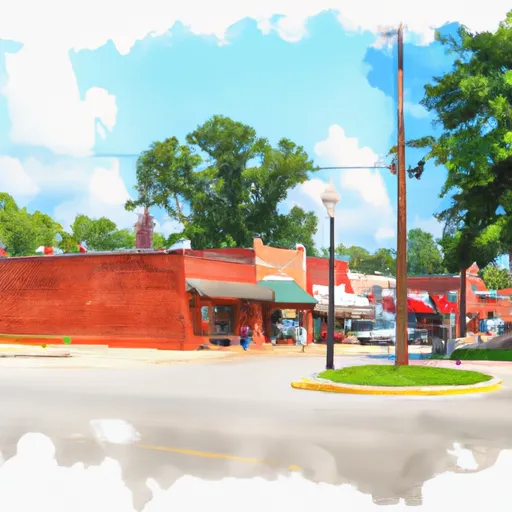
Matherville is a small town located in the northeastern part of Mississippi. Known for its pleasant climate, the town experiences a humid subtropical climate with hot, humid summers and mild winters. Average high temperatures during the summer months range from the mid-80s to low 90s°F, while winter temperatures average in the mid-50s to low 60s°F.
The town is situated near the Wolf River, which contributes to its hydrology constituents. The river provides opportunities for fishing enthusiasts, with a variety of fish species including bass, catfish, and crappie. Additionally, Matherville is surrounded by abundant forests and natural landscapes, allowing residents and visitors to engage in outdoor recreational activities such as hiking, camping, and birdwatching.
For those seeking more structured outdoor recreation, Big Oaks Golf Course offers a challenging 18-hole golfing experience. The nearby Holly Springs National Forest also provides opportunities for hunting, horseback riding, and off-road vehicle trails. Matherville, Mississippi, with its favorable climate and proximity to natural resources, offers a variety of outdoor activities to suit various interests.
Weather Forecast
Matherville receives approximately 1456mm of rain per year, with humidity levels near 90% and air temperatures averaging around 18°C. Matherville has a plant hardyness factor of 8, meaning plants and agriculture in this region tend to thrive here all year round.
Regional Streamflow Levels
17,600
Cubic Feet Per Second
6,680
Cubic Feet Per Second
2,950
Cubic Feet Per Second
960
Cubic Feet Per Second
Nearby Camping
| Camping Area | Reservations | Toilets | Showers |
|---|---|---|---|
| Dunns Falls Water Park | |||
| Keesler AFB Military | |||
| Shepard State Park | |||
| Lake Perry | |||
| Clarkco State Park | |||
| Archusa Creek Waterpark |


