°F
°F
mph
Windspeed
%
Humidity


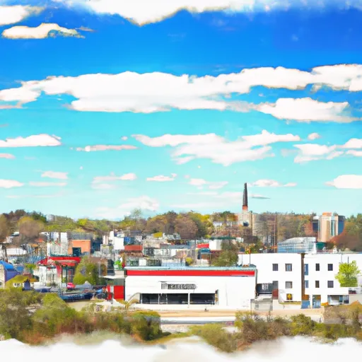
Mukwonago, located in southeastern Wisconsin, experiences a humid continental climate. Summers are warm with temperatures averaging around 80°F, while winters are cold with temperatures often dropping below freezing, averaging around 20°F. The region typically receives moderate rainfall throughout the year, ranging from 2 to 4 inches per month.
Hydrologically, Mukwonago is situated near the Mukwonago River and Phantom Lake, offering picturesque water bodies for outdoor enthusiasts. The Mukwonago River provides opportunities for fishing, canoeing, and kayaking, while Phantom Lake offers boating and swimming activities.
Outdoor recreation in Mukwonago is plentiful. The area boasts several parks and trails, such as Mukwonago County Park and Glacier Drumlin State Trail, which are ideal for hiking, biking, and picnicking. In addition, the nearby Kettle Moraine State Forest provides opportunities for camping, horseback riding, and wildlife observation.
Overall, Mukwonago's climate supports a range of outdoor activities throughout the year, and its hydrological features offer diverse recreational opportunities for nature lovers and adventure seekers.
Weather Forecast
Mukwonago receives approximately 887mm of rain per year, with humidity levels near 79% and air temperatures averaging around 9°C. Mukwonago has a plant hardyness factor of 5, meaning plants and agriculture in this region thrive during a short period during spring and early summer. Most plants will die off during the colder winter months.
Regional Streamflow Levels
17
Cubic Feet Per Second
23
Cubic Feet Per Second
16
Cubic Feet Per Second
3
Cubic Feet Per Second
Nearby Camping
| Camping Area | Reservations | Toilets | Showers |
|---|---|---|---|
| Gibson City Park | |||
| Prairie Pines Campground | |||
| Desplaines Conservational Park | |||
| Gratiot River County Park | |||
| Des Plaines State Conservation Area | |||
| Charley Brown City Park |


