°F
°F
mph
Windspeed
%
Humidity


Napoleon, Missouri is a small town located in Lafayette County, in the central part of the state. The town experiences a humid subtropical climate, characterized by hot and humid summers and mild winters. Average temperatures in the summer range from the high 80s to low 90s Fahrenheit, while winters see temperatures in the mid-30s to mid-40s Fahrenheit. The area receives a moderate amount of rainfall throughout the year, with the wettest months being May and June.
Napoleon is situated near the Missouri River, providing access to various hydrology constituents. The river offers opportunities for boating, fishing, and wildlife viewing. The town is also surrounded by several lakes and reservoirs, including Lake Lafayette and Davisdale Conservation Area, which provide additional water-based recreational activities.
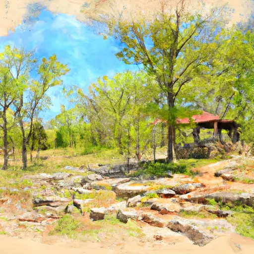
Outdoor enthusiasts will find numerous opportunities for recreation in Napoleon. The town is surrounded by picturesque landscapes, making it ideal for hiking, camping, and bird watching. The area is also well-suited for hunting, with an abundance of wildlife in the nearby forests and fields.
Overall, Napoleon, Missouri offers a pleasant climate, access to various water bodies, and plenty of outdoor recreational opportunities, making it an attractive destination for nature lovers and outdoor enthusiasts.
Weather Forecast
Napoleon receives approximately 1026mm of rain per year, with humidity levels near 81% and air temperatures averaging around 13°C. Napoleon has a plant hardyness factor of 6, meaning plants and agriculture in this region thrive during a short period during spring and early summer. Most plants will die off during the colder winter months.
Regional Streamflow Levels
361
Cubic Feet Per Second
34
Cubic Feet Per Second
63
Cubic Feet Per Second
15
Cubic Feet Per Second
Nearby Camping
| Camping Area | Reservations | Toilets | Showers |
|---|---|---|---|
| Rocky Branch - Beaver Lake | |||
| Starkey - Beaver Lake | |||
| Indian Creek - Beaver Lake | |||
| Lost Bridge South - Beaver Lake | |||
| Lost Bridge North - Beaver Lake | |||
| Lamar City Park |


