Schaller

Climate Recreation Community Catastrophe

Schaller
Eden Index

Climate 7.1 Recreation 2.2 Community 0.8 Safeguard

3.8/10

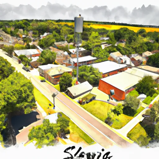
Schaller, Iowa is a small town located in Sac County in the northwestern part of the state. It experiences a humid continental climate, characterized by warm summers and cold winters. The average temperature in July, the hottest month, reaches around 86°F (30°C), while in January, the coldest month, temperatures can drop to about 12°F (-11°C). Precipitation is evenly distributed throughout the year, with an annual average of about 33 inches (84 cm).

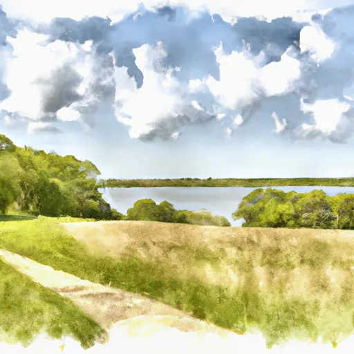
In terms of hydrology constituents, Schaller is situated near the Little Sioux River, which provides a water source for the town. The river also offers opportunities for recreational activities such as fishing, canoeing, and kayaking. Outdoor enthusiasts can also explore the nearby Sac County Conservation area, which encompasses scenic woodlands, wetlands, and prairies. This area provides opportunities for hiking, bird watching, and wildlife observation.

Schaller's climate and access to the Little Sioux River and Sac County Conservation area make it an attractive destination for those seeking outdoor recreational opportunities in a peaceful, natural setting.

What is the Eden Index?

The Snoflo Eden Index serves as a comprehensive rating system for regions, evaluating their desirability through a holistic assessment of climate health, outdoor recreation opportunities, and natural disaster risk, acknowledging the profound impact of these factors on livability and well-being.


Climate Health Indicator (CHI): 7.1


Schaller receives approximately 810mm of rain per year, with humidity levels near 82% and air temperatures averaging around 9°C. Schaller has a plant hardyness factor of 5, meaning plants and agriculture in this region thrive during a short period during spring and early summer. Most plants will die off during the colder winter months. By considering the ideal temperature range, reliable water supplies, clean air, and stable seasonal rain or snowpacks, the Climate Health Indicator (CHI) underscores the significance of a healthy climate as the foundation for quality living.

A healthy climate is paramount for ensuring a high quality of life and livability in a region, fostering both physical well-being and environmental harmony. This can be characterized by ideal temperatures, reliable access to water supplies, clean air, and consistent seasonal rain or snowpacks.


Weather Forecast


Streamflow Conditions

Missouri-Little Sioux

Area Rivers

Missouri-Little Sioux


Snowpack Depths

Missouri-Little Sioux


Reservoir Storage Capacity

Missouri-Little Sioux


Groundwater Levels


Recreational Opportunity Index (ROI): 2.2


The Recreational Opportunity Index (ROI) recognizes the value of outdoor recreational options, such as parks, hiking trails, camping sites, and fishing spots, while acknowledging that climate plays a pivotal role in ensuring the comfort and consistency of these experiences. Access to outdoor recreational opportunities, encompassing activities such as parks, hiking, camping, and fishing, is crucial for overall well-being, and the climate plays a pivotal role in enabling and enhancing these experiences, ensuring that individuals can engage in nature-based activities comfortably and consistently.


Camping Areas

Campground Campsites Reservations Toilets Showers Elevation
Legion City Park 10 1,033 ft
Carson City Park 15 1,060 ft
Pioneer City Park None 1,080 ft
Sailors and Soldiers Memorial Park 24 1,035 ft
Olde Towne Co Park None 1,044 ft
Botna Bend County Park 40 1,108 ft
Alexander Ramsey Park 31 1,019 ft
Cocklin Fish Farm 56 1,110 ft
Lyons Park None 1,214 ft
Pierce Creek Rec Area 20 1,078 ft
Prairie Rose State Park 95 1,250 ft
Cold Spring Park 80 1,122 ft
Pottawattamie County Fairgrounds 60 1,132 ft
Nishna Bend Rec Area 14 1,188 ft

Catastrophe Safeguard Index (CSI):


The Catastrophe Safeguard Index (CSI) recognizes that natural disaster risk, encompassing floods, fires, hurricanes, and tornadoes, can drastically affect safety and the overall appeal of an area. The level of natural disaster risk in a region significantly affects safety and the overall livability, with climate change amplifying these risks by potentially increasing the frequency and intensity of events like floods, fires, hurricanes, and tornadoes, thereby posing substantial challenges to community resilience and well-being.


Community Resilience Indicator (CRI): 0.8


The Community Resilience Indicator (CRI) recognizes that education, healthcare, and socioeconomics are crucial to the well-being of a region. The CRI acknowledges the profound impact of these elements on residents' overall quality of life. By evaluating educational resources, healthcare accessibility, and economic inclusivity, the index captures the essential aspects that contribute to a thriving community, fostering resident satisfaction, equity, and social cohesion.


Log Your Visit

When was your last visit to ?

Add a Photo

How was it? How were conditions?

Rate the


Submit

Leave A Review


Submit

Upload an Image


Favorite Limit Reached