

-
 Snoflo Premium
Get unlimited access to all our content
With no Ad interruptions! - Start Your Free Trial Login with existing account
Spencer
Eden Index
Climate
8.3
•
Recreation
3.4
•
Community
2.5
•
Safeguard
5.1/10
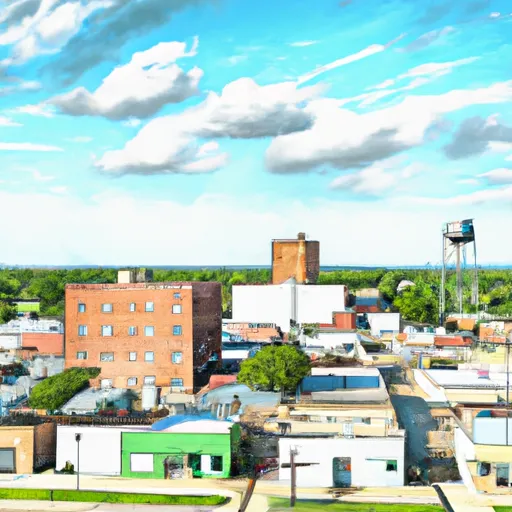
Spencer, Oklahoma is a small town located in Oklahoma County, in the central part of the state. The town experiences a humid subtropical climate characterized by hot summers and mild winters. Summers are typically hot and humid, with temperatures often exceeding 90°F (32°C), while winters are relatively mild with temperatures ranging from 30°F (-1°C) to 50°F (10°C). Precipitation is evenly distributed throughout the year, with an average annual rainfall of around 40 inches (1016 mm).
Hydrologically, Spencer is not situated near any major bodies of water. However, it benefits from the North Canadian River, which flows nearby and provides a source of water for the town.
Outdoor recreation opportunities in Spencer are abundant. The town is surrounded by picturesque landscapes and natural areas, offering opportunities for hiking, camping, and wildlife observation. Additionally, the North Canadian River provides opportunities for fishing and boating. Spencer also boasts several parks and trails, including the Spencer Park and the North Canadian River Trail, where residents and visitors can enjoy leisurely walks, picnics, and other outdoor activities. With its favorable climate and access to natural spaces, Spencer offers a range of outdoor experiences for nature enthusiasts and recreational seekers.
What is the Eden Index?
The Snoflo Eden Index serves as a comprehensive rating system for regions, evaluating their desirability through a holistic assessment of climate health, outdoor recreation opportunities, and natural disaster risk, acknowledging the profound impact of these factors on livability and well-being.
Climate Health Indicator (CHI): 8.3
Spencer receives approximately
919mm of rain per year,
with humidity levels near 80%
and air temperatures averaging around
16°C.
Spencer has a plant hardyness factor of
7, meaning
plants and agriculture in this region tend to thrive during the non-winter months.
By considering the ideal temperature range, reliable water supplies, clean air, and stable seasonal rain or snowpacks, the Climate Health Indicator (CHI) underscores the significance of a healthy climate as the foundation for quality living.
A healthy climate is paramount for ensuring a high quality of life and livability in a region, fostering both physical well-being and environmental harmony. This can be characterized by ideal temperatures, reliable access to water supplies, clean air, and consistent seasonal rain or snowpacks.
Weather Forecast
Streamflow Conditions
Lower North Canadian
Area Rivers
Lower North Canadian
Snowpack Depths
Lower North Canadian
Reservoir Storage Capacity
Lower North Canadian
Groundwater Levels
Recreational Opportunity Index (ROI): 3.4
The Recreational Opportunity Index (ROI) recognizes the value of outdoor recreational options, such as parks, hiking trails, camping sites, and fishing spots, while acknowledging that climate plays a pivotal role in ensuring the comfort and consistency of these experiences.
Access to outdoor recreational opportunities, encompassing activities such as parks, hiking, camping, and fishing, is crucial for overall well-being, and the climate plays a pivotal role in enabling and enhancing these experiences, ensuring that individuals can engage in nature-based activities comfortably and consistently.
Camping Areas
| Campground | Campsites | Reservations | Toilets | Showers | Elevation |
|---|---|---|---|---|---|
| Healdton Municipal Lake | 57 | 900 ft | |||
| Mountain Lake | None | 1,002 ft | |||
| Tinker AFB Military | None | 1,253 ft | |||
| Arcadia Lake | 140 | 1,062 ft | |||
| Liberty Lake | None | 1,025 ft | |||
| Chandler City Park - Purcell | 25 | 1,091 ft | |||
| Pauls Valley City Lake | 28 | 910 ft | |||
| Lake Thunderbird State Park - North | None | 1,081 ft | |||
| Lake Thunderbird State Park - South | None | 1,146 ft | |||
| Turner Falls Park | 500 | 960 ft |
Catastrophe Safeguard Index (CSI):
The Catastrophe Safeguard Index (CSI) recognizes that natural disaster risk, encompassing floods, fires, hurricanes, and tornadoes, can drastically affect safety and the overall appeal of an area.
The level of natural disaster risk in a region significantly affects safety and the overall livability, with climate change amplifying these risks by potentially increasing the frequency and intensity of events like floods, fires, hurricanes, and tornadoes, thereby posing substantial challenges to community resilience and well-being.
Community Resilience Indicator (CRI): 2.5
The Community Resilience Indicator (CRI) recognizes that education, healthcare, and socioeconomics are crucial to the well-being of a region. The CRI acknowledges the profound impact of these elements on residents' overall quality of life. By evaluating educational resources, healthcare accessibility, and economic inclusivity, the index captures the essential aspects that contribute to a thriving community, fostering resident satisfaction, equity, and social cohesion.