

-
 Snoflo Premium
Get unlimited access to all our content
With no Ad interruptions! - Start Your Free Trial Login with existing account
Star-City
Eden Index
Climate
7.5
•
Recreation
2.8
•
Community
2.9
•
Safeguard
4.7/10
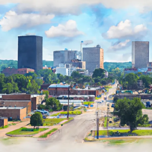
Star City is a charming city located in Lincoln County, Arkansas, known for its pleasant climate, diverse hydrology constituents, and abundant outdoor recreation opportunities. The city experiences a humid subtropical climate, characterized by hot and humid summers, and mild winters. The average temperature ranges from lows of 32°F in winter to highs of 92°F in summer, with rainfall distributed relatively evenly throughout the year.
The city is blessed with a rich hydrology, as it is nestled along Bayou Bartholomew, the longest bayou in the world. This waterway offers opportunities for fishing, boating, and kayaking, allowing nature enthusiasts to explore the scenic beauty of the area.
Outdoor recreation enthusiasts can also enjoy the nearby Cane Creek State Park, which features a variety of activities such as camping, hiking, mountain biking, and birdwatching. The park is home to diverse wildlife and offers picturesque landscapes, including wetlands and forests, providing visitors with a serene and immersive outdoor experience.
In conclusion, Star City, Arkansas, offers a delightful climate, diverse hydrology constituents, and numerous outdoor recreation opportunities, making it an ideal destination for nature lovers and those seeking an escape into the great outdoors.
What is the Eden Index?
The Snoflo Eden Index serves as a comprehensive rating system for regions, evaluating their desirability through a holistic assessment of climate health, outdoor recreation opportunities, and natural disaster risk, acknowledging the profound impact of these factors on livability and well-being.
Climate Health Indicator (CHI): 7.5
Star-City receives approximately
1354mm of rain per year,
with humidity levels near 90%
and air temperatures averaging around
17°C.
Star-City has a plant hardyness factor of
8, meaning
plants and agriculture in this region tend to thrive here all year round.
By considering the ideal temperature range, reliable water supplies, clean air, and stable seasonal rain or snowpacks, the Climate Health Indicator (CHI) underscores the significance of a healthy climate as the foundation for quality living.
A healthy climate is paramount for ensuring a high quality of life and livability in a region, fostering both physical well-being and environmental harmony. This can be characterized by ideal temperatures, reliable access to water supplies, clean air, and consistent seasonal rain or snowpacks.
Weather Forecast
Streamflow Conditions
Lower Ouachita
Area Rivers
Lower Ouachita
Snowpack Depths
Lower Ouachita
Reservoir Storage Capacity
Lower Ouachita
Groundwater Levels
Recreational Opportunity Index (ROI): 2.8
The Recreational Opportunity Index (ROI) recognizes the value of outdoor recreational options, such as parks, hiking trails, camping sites, and fishing spots, while acknowledging that climate plays a pivotal role in ensuring the comfort and consistency of these experiences.
Access to outdoor recreational opportunities, encompassing activities such as parks, hiking, camping, and fishing, is crucial for overall well-being, and the climate plays a pivotal role in enabling and enhancing these experiences, ensuring that individuals can engage in nature-based activities comfortably and consistently.
Camping Areas
| Campground | Campsites | Reservations | Toilets | Showers | Elevation |
|---|---|---|---|---|---|
| Lakeview Park - Mexico | None | 810 ft | |||
| Ray Behrens | None | 677 ft | |||
| Sever Lake Conservation Area - MDC | 84 | 736 ft | |||
| Mark Twain State Park | None | 666 ft | |||
| Lake Sugema County Park | None | 741 ft | |||
| Shelbina Lake City Park | None | 722 ft | |||
| Shimek State Forest | None | 691 ft | |||
| Indian Lake Park | None | 595 ft | |||
| Rising Star | None | 196 ft | |||
| Montauk State Park | None | 910 ft | |||
| Rollins Ferry Access - MDC | 11 | 568 ft | |||
| Paddy Creek | 36 | 1,008 ft | |||
| Saracen Trace RV Park | 52 | 217 ft | |||
| Battle of Athens State Park | None | 664 ft | |||
| Paydown Access - MDC | 6 | 596 ft | |||
| Frank Russell | None | 704 ft | |||
| Chamois Access - MDC | 4 | 530 ft | |||
| Trulock - Arkansas River | 15 | 195 ft | |||
| Lane Spring | 64 | 1,069 ft | |||
| Cypremort Point State Park | None | 3 ft | |||
| Cane Creek State park | None | 257 ft | |||
| Acadiana Park | 75 | 42 ft | |||
| Chemin - A - Haut State Park | None | 125 ft |
Catastrophe Safeguard Index (CSI):
The Catastrophe Safeguard Index (CSI) recognizes that natural disaster risk, encompassing floods, fires, hurricanes, and tornadoes, can drastically affect safety and the overall appeal of an area.
The level of natural disaster risk in a region significantly affects safety and the overall livability, with climate change amplifying these risks by potentially increasing the frequency and intensity of events like floods, fires, hurricanes, and tornadoes, thereby posing substantial challenges to community resilience and well-being.
Community Resilience Indicator (CRI): 2.9
The Community Resilience Indicator (CRI) recognizes that education, healthcare, and socioeconomics are crucial to the well-being of a region. The CRI acknowledges the profound impact of these elements on residents' overall quality of life. By evaluating educational resources, healthcare accessibility, and economic inclusivity, the index captures the essential aspects that contribute to a thriving community, fostering resident satisfaction, equity, and social cohesion.