Summary
Shore access is good for panfish, smallmouth bass, and occasional lake trout in spring and fall when they move shallow. The area lacks a pier or boat ramp—best suited for wading or casting from shore. Higgins Lake is known for lake trout, rainbow trout, perch, smallmouth bass, and smelt. Use minnows, nightcrawlers, or jigs for perch and bass; spoons or deep-diving crankbaits for trout. Spring and fall are best for trout; summer is ideal for perch and bass. Boat anglers should access the lake from nearby public ramps.
°F
°F
mph
Wind
%
Humidity
15-Day Weather Outlook
5-Day Hourly Forecast Detail
Nearby Streamflow Levels
Angling Safety Guidelines
Check local fishing rules, seasons, size limits, and license requirements to ensure legal and sustainable angling.
Handle Fish Responsibly
Use wet hands, minimize air exposure, and release fish gently to improve survival rates when practicing catch-and-release.
Choose the Right Gear
Match your rod, line, and tackle to the species and conditions to increase success and reduce unnecessary harm to fish.
Respect the Waterway
Avoid disturbing habitat, prevent bank erosion, and keep a safe distance from spawning areas to protect ecosystems.
Keep It Clean
Pack out all line, hooks, bait containers, and trash—discarded gear can injure wildlife and degrade waterways.

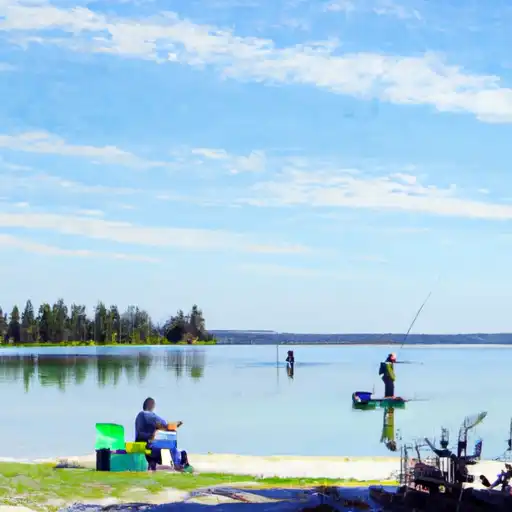 Higgins Lake
 Houghton Lake
 Dead Stream Flooding
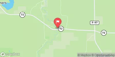
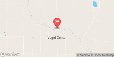
 North Higgins Lake State Park East Campground
 North Higgins Lake State Park West Campground
 Houghton Lake State Forest Campground
 4-Mile Trail Camp
 Reedsburg Dam State Forest Campground
 Robinson Creek Flooding Dam
 Lake Township