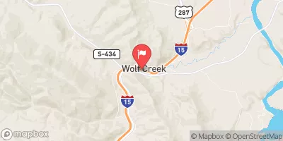
ROCK CREEK (SMITH DRAINAGE)

Species Weather Hydrology


FISHING MONTANA

Rock Creek (Smith Drainage)


April 20, 2024

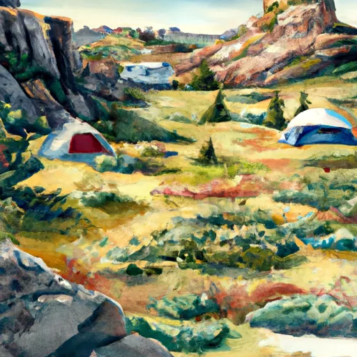
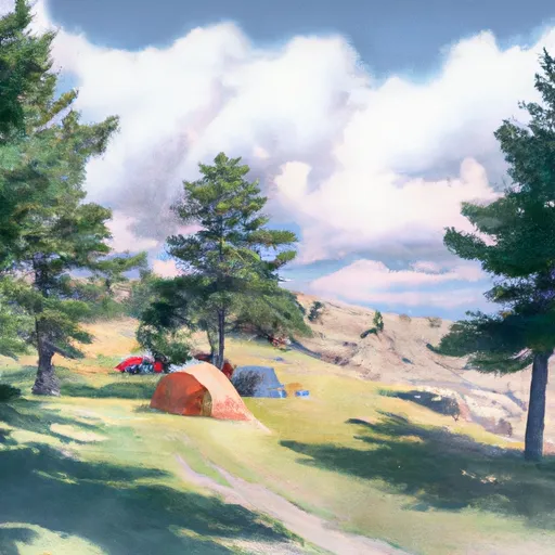
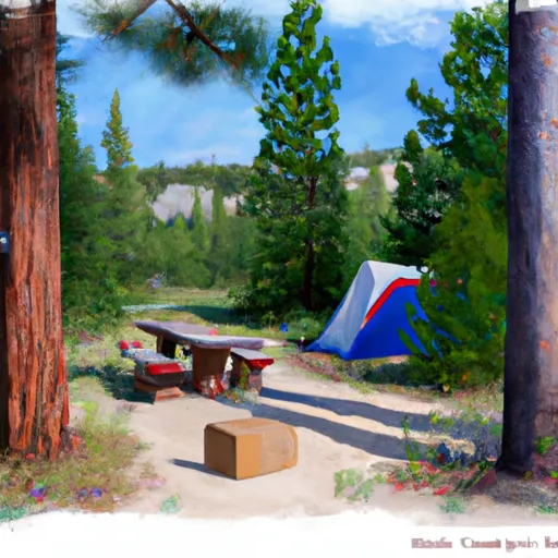
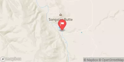
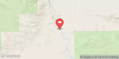
Rock Creek Smith Drainage is located in Missoula County, Montana, and is known for its excellent fishing opportunities. The stream is home to a variety of fish species, including rainbow trout, brown trout, cutthroat trout, and brook trout. Nearby activities include hiking, camping, and wildlife watching. Fishing tips include using small nymphs and dry flies during the summer months. The best time to visit is from June to September, with average temperatures ranging from 50 to 80 degrees Fahrenheit. Overall, the Rock Creek Smith Drainage fishing area is a great destination for anglers looking for a peaceful and secluded fishing spot.


Fish Species
Image Alt Apache Trout
Image Alt Brook Trout
Image Alt Brown Trout
Image Alt Cutthroat Trout
Image Alt Rainbow Trout

Weather Outlook


16 Day Long Term Forecast

Seasonal Comparison


Historical Data


Area Boat Ramps

BIG BEND BOAT RAMP
Upper Missouri-Dearborn Watershed, Montana
LOWER TOSTON DAM BOAT RAMP
Upper Missouri Watershed, Montana
OLD US HIGHWAY 91 CASCADE COUNTY
Upper Missouri-Dearborn Watershed, Montana
CASCADE COUNTY
Smith Watershed, Montana
LOWRY BRIDGE
Sun Watershed, Montana
CROSS DRIVE HELENA VALLEY NORTHEAST
Upper Missouri Watershed, Montana
UPPER TOSTON DAM BOAT RAMP
Upper Missouri Watershed, Montana
BEARTOOTH ROAD LEWIS AND CLARK COUNTY
Upper Missouri Watershed, Montana
WEST LOOP BROADWATER COUNTY
Upper Missouri Watershed, Montana
RIVER DRIVE SOUTH 814, GREAT FALLS
Upper Missouri-Dearborn Watershed, Montana

Rafting & Kayaking

MARIAS RIVER
Upper Missouri-Dearborn Watershed, Montana
TRAIL #329, SEC. 15, T7N, R7W TO SEC. 28, T8N, R7W
Upper Clark Fork Watershed, Montana
MISSOURI RIVER
Upper Missouri Watershed, Montana
FALLS, SEC. 25, T14N, R4E TO SMITH RIVER, SEC. 25, T14N, R3E
Smith Watershed, Montana
TENDERFOOT CREEK, SEC. 30, T14N, R4E TO DEEP CREEK, SEC. 31, T16N, R4E
Smith Watershed, Montana
MISSOURI RIVER
Upper Missouri Watershed, Montana
TOWN OF NELSON, SEC. 12, T12N, R2W TO MISSOURI RIVER, SEC. 19, T12N, R2W
Upper Missouri Watershed, Montana
MISSOURI RIVER
Upper Missouri Watershed, Montana
HAUSER DAM, SEC. 29, T12N, R2W TO COCHRAN GULCH, SEC. 18, T12N, R2W
Upper Missouri Watershed, Montana
HEADWATERS, SEC. 13, T18N, R10W TO FOREST BOUNDARY, SEC. 6, T17N, R7W
Upper Missouri-Dearborn Watershed, Montana

Parks & Recreation


Sluice Boxes State Park

Broadwater Bay Park

Chowen Springs Park

Montana Park

Warden Park

Tower Rock State Park

Dudley Anderson Park

Hylande Heights Park

Grande Vista Park

Boston Heights Park


CRIMSON BLUFFS INTERPRETIVE SITE
The Crimson Bluffs Interpretive Site is a popular destination for tourists and visitors in Montana, located in the Upper Missouri watershed. The site is a part of the Missouri River ...
TWO CAMPS
The Upper Missouri River watershed in Montana is home to two distinct camps that offer visitors a chance to experience the beautiful natural environment of the area. The camps are ...

Log Your Visit

When was your last visit to Rock Creek (Smith drainage)?

Add a Photo

How was it? How were conditions?

Rate the backcountry skiing


Submit

Leave A Review

Rock Creek (Smith Drainage)

Submit

Upload an Image

Rock Creek (Smith Drainage)

Favorite Limit Reached