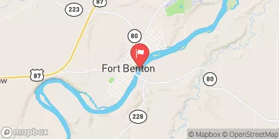
SHONKIN CREEK

Species Weather Hydrology


FISHING MONTANA

Shonkin Creek


April 19, 2024

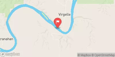
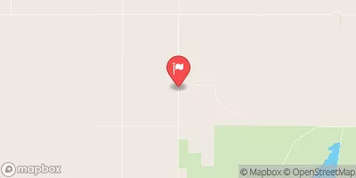
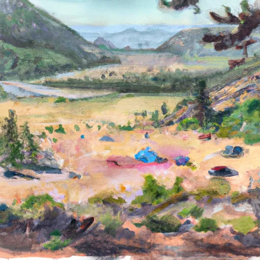
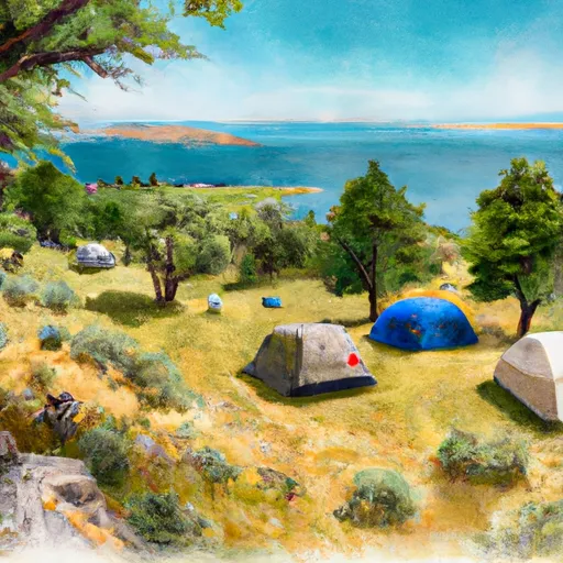
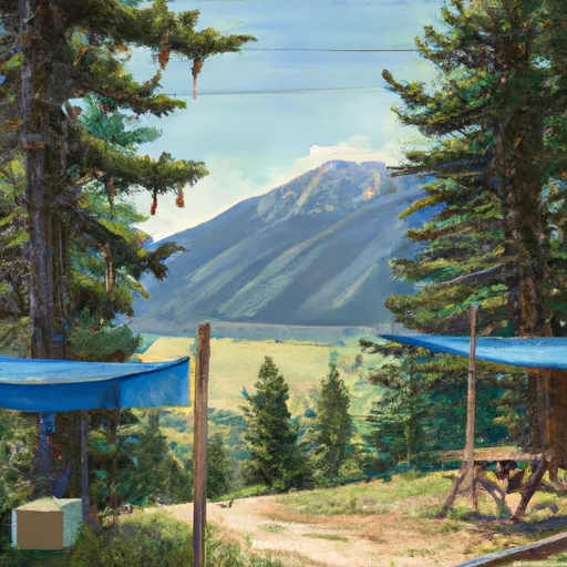
Shonkin Creek is a popular fishing destination located in the Little Belt Mountains of Montana. Anglers can expect to catch rainbow, brown, and brook trout in the creek's cold, clear waters. Nearby activities include hiking and camping in the surrounding national forest. Fishing tips include using dry flies and nymphs, and avoiding the creek during spring runoff. The best time to visit is during the summer months when temperatures average between 70-80°F during the day and 40-50°F at night.


Fish Species
Image Alt Apache Trout
Image Alt Brook Trout

Weather Outlook


16 Day Long Term Forecast

Seasonal Comparison


Historical Data


Area Boat Ramps

LIBERTY COUNTY
Marias Watershed, Montana
COAL BANKS LANDING
Bullwhacker-Dog Watershed, Montana
EAGLE CREEK REC SITE
Bullwhacker-Dog Watershed, Montana
LITTLE SANDY COULEE REC SITE
Bullwhacker-Dog Watershed, Montana
WOOD BOTTOM RECREATION AREA
Upper Missouri-Dearborn Watershed, Montana
LIBERTY COUNTY
Marias Watershed, Montana
LONE TREE COULEE
Bullwhacker-Dog Watershed, Montana
HOLE IN THE WALL REC SITE
Bullwhacker-Dog Watershed, Montana
SEINEURS REACH
Upper Missouri-Dearborn Watershed, Montana
MONROE ISLAND
Bullwhacker-Dog Watershed, Montana

Rafting & Kayaking

MADISON RIVER
Madison Watershed, Montana
MADISON RIVER
Madison Watershed, Montana
TENDERFOOT CREEK, SEC. 30, T14N, R4E TO DEEP CREEK, SEC. 31, T16N, R4E
Smith Watershed, Montana
ARCH COULEE JUNCTION, SEC. 32, T13N, R11E TO FOREST BOUNDARY, SEC. 35, T13N, R11E
Judith Watershed, Montana
MADISON RIVER
Madison Watershed, Montana
MADISON RIVER
Madison Watershed, Montana
FALLS, SEC. 25, T14N, R4E TO SMITH RIVER, SEC. 25, T14N, R3E
Smith Watershed, Montana
MARIAS RIVER
Upper Missouri-Dearborn Watershed, Montana

Parks & Recreation


Sluice Boxes State Park

Grande Vista Park

Dudley Anderson Park

Chowen Springs Park

Montana Park

Warden Park

Broadwater Bay Park

Boston Heights Park

Hylande Heights Park

Ackley Lake State Park


EVANS BEND
The Evans Bend is a scenic area located in the Upper Missouri-Dearborn watershed of Montana. It is a popular destination for outdoor enthusiasts, particularly for fishing and camping. The area ...
WOOD BOTTOM RECREATION AREA
The Wood Bottom Recreation Area is located in the Upper Missouri-Dearborn watershed of Montana. This area is a popular destination for camping, fishing, boating, and hiking. The campground is situated ...
UPPER MISSOURI INTERPRETIVE CENTER
MONROE CABIN HOMESTEAD
The Monroe Cabin Homestead is a historic site located in the Bullwhacker-Dog watershed of Montana, about 35 miles south of Dillon. The homestead was established in the late 1800s by ...
LONE TREE COULEE
Lone Tree Coulee is a stunning area located in the Bullwhacker-Dog watershed of Montana. The coulee is made up of steep-walled canyons, grassy hills, and unique rock formations, which stretch ...
COAL BANKS LANDING
Coal Banks Landing is located in the Bullwhacker-Dog watershed of Montana, near the town of Fort Benton. It is a popular destination for outdoor enthusiasts, particularly those interested in kayaking ...
DECISION POINT
The Decision Point in the Upper Missouri-Dearborn watershed of Montana is a significant location that marks the confluence of two rivers - the Missouri and the Dearborn. It is a ...
SEINEURS REACH
Seineurs Reach is a unique and scenic stretch of the Upper Missouri-Dearborn watershed in Montana. The area is characterized by towering limestone cliffs, lush vegetation, and crystal-clear water. Visitors can ...

Nearby Campgrounds

Camping Area Campsites Reservations Toilets Showers Elevation
Fresno Beach - Fresno Reservoir - USBR Numerous 2,634 ft
Thain Creek 20 4,534 ft
Gateway Military - Malmstrom AFB Numerous 3,504 ft
River Run - Fresno Reservoir - USBR Numerous 2,521 ft
Martinsdale Reservoir FAS 11 4,791 ft
North Bootlegger - Lake Elwell - USBR Numerous 3,014 ft
Kiehns Bay - Fresno Reservoir - USBR Numerous 2,594 ft
Coal Banks Landing Numerous 2,553 ft
Chester City Park Numerous 3,129 ft
Fresno Tailwater FAS Numerous 2,510 ft

Log Your Visit

When was your last visit to Shonkin Creek?

Add a Photo

How was it? How were conditions?

Rate the backcountry skiing


Submit

Leave A Review

Shonkin Creek

Submit

Upload an Image

Shonkin Creek

Favorite Limit Reached