WARM SPRING CREEK

Species Weather Hydrology


FISHING MONTANA

Warm Spring Creek


April 26, 2024

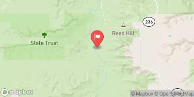
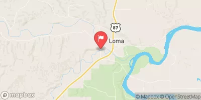
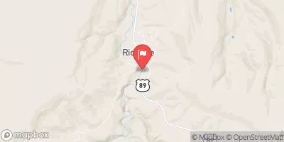
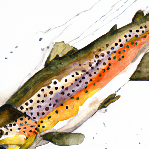
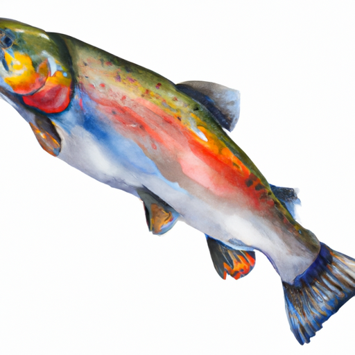
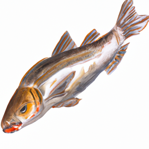
The Warm Spring Creek fishing area is located in Montana, USA and is known for its rainbow and brown trout fishing. Nearby activities include hiking, camping, and exploring the nearby Yellowstone National Park. Fishing tips include using dry flies and nymphs to lure in the trout. The best time of year to visit is during the summer months when the average temperature is around 70°F. It is recommended to check the local fishing regulations before visiting. Overall, the Warm Spring Creek fishing area offers a great outdoor experience for fishing enthusiasts and nature lovers alike.


Fish Species
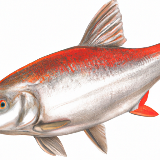
Image Alt Apache Trout
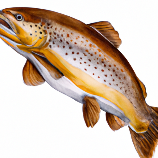
Image Alt Brown Trout

Weather Outlook


16 Day Long Term Forecast

Seasonal Comparison


Historical Data


Area Boat Ramps

THE WALL
Bullwhacker-Dog Watershed, Montana
STAFFORD FERRY
Bullwhacker-Dog Watershed, Montana
COAL BANKS LANDING
Bullwhacker-Dog Watershed, Montana
EAGLE CREEK REC SITE
Bullwhacker-Dog Watershed, Montana
PABLO RAPIDS (LOWER SITE)
Bullwhacker-Dog Watershed, Montana
GREASEWOOD BOTTOM
Bullwhacker-Dog Watershed, Montana
MONROE ISLAND
Bullwhacker-Dog Watershed, Montana
SLAUGHTER RIVER
Bullwhacker-Dog Watershed, Montana
LITTLE SANDY COULEE REC SITE
Bullwhacker-Dog Watershed, Montana
LONE TREE COULEE
Bullwhacker-Dog Watershed, Montana

Rafting & Kayaking

ARCH COULEE JUNCTION, SEC. 32, T13N, R11E TO FOREST BOUNDARY, SEC. 35, T13N, R11E
Judith Watershed, Montana
BAD CANYON CREEK
Stillwater Watershed, Montana
BRAMBLE CREEK, SEC. 26, T5S, R12E TO ABSAROKA-BEARTOOTH WILDERNESS, SEC. 22, T7S, R12E
Upper Yellowstone Watershed, Montana
MARIAS RIVER
Upper Missouri-Dearborn Watershed, Montana
GALLATIN FOREST BOUNDARY, SEC. 26, T3S, R12E TO BLAKLEY CREEK, SEC. 26, T3S, R12E
Upper Yellowstone Watershed, Montana
BAD CANYON CREEK
Stillwater Watershed, Montana
MILLER CREEK, SEC. 13, T4S, R21E TO BRAMBLE CREEK, SEC. 26, T5S, R12E
Upper Yellowstone Watershed, Montana
BAD CANYON CREEK
Stillwater Watershed, Montana
BAD CANYON CREEK
Stillwater Watershed, Montana
BAD CANYON CREEK
Stillwater Watershed, Montana

Parks & Recreation


National Wild & Scenic River Upper Missouri

Hailstone National Wildlife Refuge

Ackley Lake State Park

Deadman's Basin Fishing Access Site

Nez Perce National Historic Park- Bear Paw Battlefield


MONROE CABIN HOMESTEAD
The Monroe Cabin Homestead is a historic site located in the Bullwhacker-Dog watershed of Montana, about 35 miles south of Dillon. The homestead was established in the late 1800s by ...
LONE TREE COULEE
Lone Tree Coulee is a stunning area located in the Bullwhacker-Dog watershed of Montana. The coulee is made up of steep-walled canyons, grassy hills, and unique rock formations, which stretch ...
EAGLE CREEK REC SITE
The Eagle Creek Recreation Site is located in the Bullwhacker-Dog watershed in Montana. This site is a popular destination for camping and fishing, as it is situated on the banks ...
COAL BANKS LANDING
Coal Banks Landing is located in the Bullwhacker-Dog watershed of Montana, near the town of Fort Benton. It is a popular destination for outdoor enthusiasts, particularly those interested in kayaking ...
JUDITH PEAK SCENIC OVERLOOK
Judith Peak Scenic Overlook is a popular tourist destination located in the Fort Peck Reservoir watershed of Montana. It is a must-visit place for nature lovers who want to witness ...
HOLMES COUNCIL ISLAND - HISTORICAL SITE
The Holmes Council Island Historical Site, located in Montana's Bullwhacker-Dog watershed, is a must-see destination for history buffs and nature enthusiasts alike. The site spans over 220 acres and is ...
MURRY DUGOUT - HOMESTEAD
The Murry Dugout Homestead is a historic site located in the Bullwhacker-Dog watershed of Montana. The homestead was established by William Murry in the late 1800s and is a testament ...
DARK BUTTE
Dark Butte is a prominent landmark located in the Bullwhacker-Dog watershed of Montana. This rugged mountain rises to a height of 8,421 feet above sea level and offers stunning views ...
GREASEWOOD BOTTOM
Greasewood Bottom is a natural area located in the Bullwhacker-Dog watershed of Montana. It is a popular destination for outdoor enthusiasts due to its unique landscape and diverse wildlife. The ...

Nearby Campgrounds

Camping Area Campsites Reservations Toilets Showers Elevation
Fresno Beach - Fresno Reservoir - USBR Numerous 2,634 ft
Hill County Beaver Creek Park Numerous 4,025 ft
Clack Museum Campground Numerous 2,621 ft
Great Northern Fair and Campgrounds Numerous 2,618 ft
River Run - Fresno Reservoir - USBR Numerous 2,521 ft
Bearpaw Lake FAS Numerous 3,602 ft
Beaver Creek County Park Numerous 3,670 ft
Coal Banks Landing Numerous 2,553 ft
Fresno Tailwater FAS Numerous 2,510 ft
Kiehns Bay - Fresno Reservoir - USBR Numerous 2,594 ft

Log Your Visit

When was your last visit to Warm Spring Creek?

Add a Photo

How was it? How were conditions?

Rate the backcountry skiing


Submit

Leave A Review

Warm Spring Creek

Submit

Upload an Image

Warm Spring Creek

Favorite Limit Reached