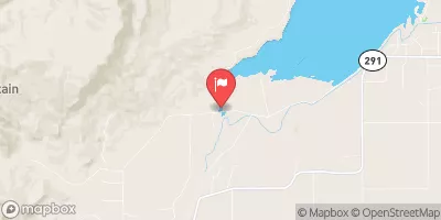
BUFFALO BILL RESERVOIR

Species Weather Hydrology


FISHING WYOMING

Buffalo Bill Reservoir


April 27, 2024

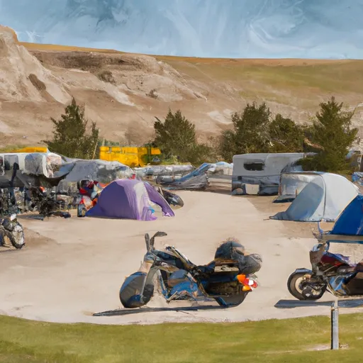
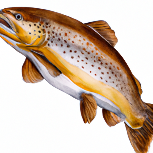
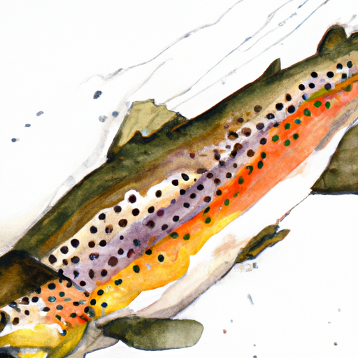
The Buffalo Bill Reservoir is a great fishing destination in Wyoming that offers anglers a chance to catch a variety of fish species, including rainbow, brown, and cutthroat trout. Visitors can also enjoy nearby activities such as hiking, camping, and wildlife viewing. Fishing tips include using flies, lures, and live bait, and focusing on areas near drop-offs and underwater structure. The best time to visit is during the summer months when temperatures average around 70 degrees Fahrenheit.


Fish Species
Image Alt Apache Trout
Image Alt Bigmouth Buffalo
Image Alt Cutthroat Trout

Weather Outlook


16 Day Long Term Forecast

Seasonal Comparison


Historical Data


Area Boat Ramps

HOGAN RESERVOIR BOAT LAUNCH
Clarks Fork Yellowstone Watershed, Montana
LUCE RESERVOIR BOAT LAUNCH
Clarks Fork Yellowstone Watershed, Montana
BEARTOOTH HIGH LAKES TRAIL WYOMING
Clarks Fork Yellowstone Watershed, Montana
ANDY MARTIN HILL BOAT RAMP
South Fork Shoshone Watershed, Wyoming
BEARTOOTH HIGHWAY WYOMING
Clarks Fork Yellowstone Watershed, Montana
CLARKS FORK BOAT LAUNCH
Clarks Fork Yellowstone Watershed, Montana
NORTH FORK SHOSHONE RIVER BOAT RAMP
North Fork Shoshone Watershed, Wyoming

Rafting & Kayaking

ABSAROKA-BEARTOOTH WILDERNESS BOUNDARY TO HEADWATERS, SEC. 10, T9S, R17E
Clarks Fork Yellowstone Watershed, Montana
CROOKED CREEK
Big Horn Lake Watershed, Wyoming
CROOKED CREEK
Big Horn Lake Watershed, Wyoming
BEAR CREEK
Shoshone Watershed, Wyoming
NORTHEAST YELLOWSTONE NATIONAL PARK BOUNDARY, NEAR COOKE CITY TO THE CONFLUENCE WITH LAMAR RIVER
Yellowstone Headwaters Watershed, Montana
THE HEADWATERS TO ENDS ABOVE SLOUGH CREEK CAMPGROUND, LOCATED ON A SECONDARY SPUR ROAD TO THE PARK'S MAIN ROAD
Yellowstone Headwaters Watershed, Montana
ABSAROKA-BEARTOOTH WILDERNESS BOUNDARY TO HEADWATERS, SEC. 20, T9S, R17E
Clarks Fork Yellowstone Watershed, Montana
GYPSUM CREEK
Big Horn Lake Watershed, Wyoming
CONFLUENCE ROCK CREEK, SEC. 34, T8S, R19E TO ABSAROKA-BEARTOOTH WILDERNESS BOUNDARY
Clarks Fork Yellowstone Watershed, Montana
CHIEF JOSEPH CG, SEC. 28, T9S, R15E TO MONTANA STATE LINE, SEC. 34, T9S, R15E
Clarks Fork Yellowstone Watershed, Montana

Parks & Recreation


Greycliff Prairie Dog Town State Park

Burlington Park

CastleRock Park

Cooney State Park

Poly Vista Park

Gorham Park

Daylis Stadium

Lake Elmo State Park

Lillis Park

Coulson Public Park


CLARKS FORK CANYON SCENIC VIEWPOINT
The Clarks Fork Canyon Scenic Viewpoint is a popular destination for tourists and locals alike in the Clarks Fork Yellowstone watershed of Montana. This viewpoint offers stunning views of the ...
EAGLE PASS INTERPRETIVE SITE
The Eagle Pass Interpretive Site is located in the Dry watershed of Wyoming and is a popular destination for visitors looking to explore the natural beauty of the area. The ...
CASTLE ROCK FISHING ACCESS SITE
Castle Rock Fishing Access Site is a popular destination for anglers in Wyoming. It is located in the South Fork Shoshone watershed and offers stunning views of the Absaroka Mountains. ...
MEETEETSE TRAIL WILDLIFE VIEWING AREA
The Meeteetse Trail Wildlife Viewing Area is a popular destination for nature enthusiasts in Montana. Located in the Clarks Fork Yellowstone watershed, this area is home to a diverse range ...
CODY CANAL DAY USE SITE
The Cody Canal Day Use Site is located in the South Fork Shoshone watershed of Wyoming and is a popular spot for camping, fishing, and hiking. The site is situated ...
CLAY BUTTE LOOKOUT

Log Your Visit

When was your last visit to Buffalo Bill Reservoir?

Add a Photo

How was it? How were conditions?

Rate the backcountry skiing


Submit

Leave A Review

Buffalo Bill Reservoir

Submit

Upload an Image

Buffalo Bill Reservoir

Favorite Limit Reached