Across the United States, varying snow conditions are affecting outdoor activities and water resources. In regions such as the Central Sierras in California, considerable avalanche danger is reported by the Sierra Avalanche Center, urging caution for outdoor enthusiasts. On the flip side, the Northwest Avalanche Center indicates generally safe conditions in Washington's West Slopes with low avalanche danger, though vigilance for isolated unstable snow is still advised.
Snowfall has been observed with new accumulations at sites like Lakefork #3 in Utah and CSS Lab in California, receiving 15 and 12 inches respectively. These fresh snows bring joy to ski areas but also demand caution due to potential avalanche risks. Meanwhile, reservoir levels across the nation show varied readings. For instance, Lake Winnipesaukee at Weirs Beach in New Hampshire currently records a gage height of 3 feet, below its average of 3.77 feet, potentially impacting local water supply and recreational activities.
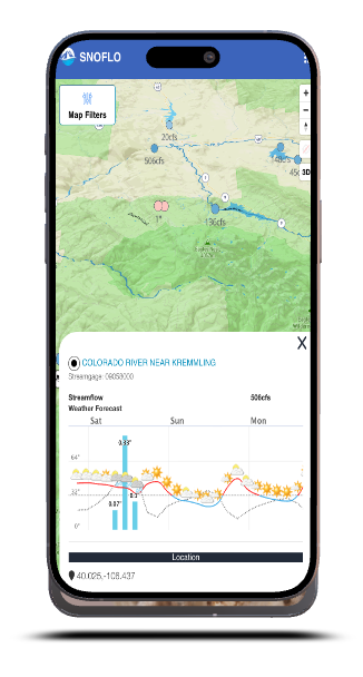
Streamflow levels are high in certain areas such as the Ohio River at Old Shawneetown, IL-KY, and the St. Johns River at Jacksonville, FL, with readings of 259,000 and 164,000 cubic feet per second respectively. These elevated streamflow levels can signal potential flooding concerns downstream or could be beneficial for activities like river rafting, depending on local conditions. It's essential to correlate these datasets and understand the impacts on major cities, mountain ranges, rivers, and reservoirs, as they are interconnected and influence each other in terms of climatic conditions and recreational availability. Read more