Summary
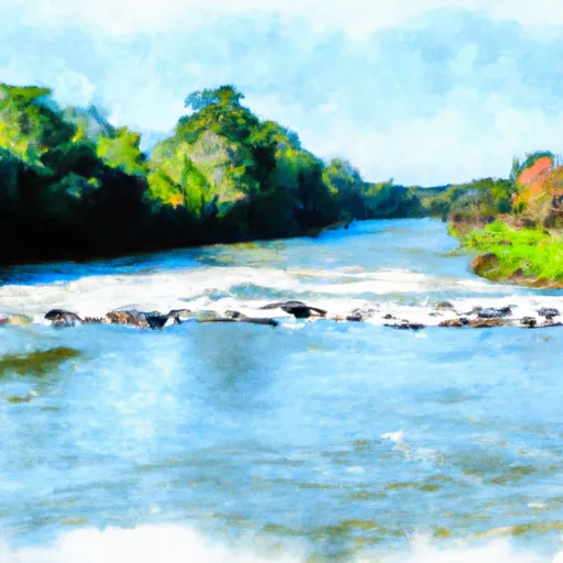
The ideal streamflow range for this stretch of river is between 600-1500 cubic feet per second (cfs), which usually occurs after a good rainfall. The segment mileage of this run is approximately 5.5 miles, beginning about 1 mile upstream from the US Highway 98 Bridge and ending at the Jackson County Route 614 Bridge.
The class rating for this run is a Class II-III, with some rapids and obstacles that require skill and experience to navigate. The most notable rapids include "The Tree" and "The Witches Cauldron," which feature technical moves and tight lines. There are also several smaller rapids and waves throughout the run that provide fun and exciting challenges.
There are specific regulations in place for this area, including the requirement of personal flotation devices for all participants and the prohibition of alcohol on the river. Additionally, there are designated put-in and take-out areas for vehicles and equipment.
Overall, the Whitewater River Run is a thrilling and challenging destination for experienced kayakers and rafters. It offers a variety of rapids and obstacles, and the ideal streamflow range is dependent on rainfall levels. It is important to adhere to all regulations and safety guidelines to ensure a safe and enjoyable experience on the river.
°F
°F
mph
Wind
%
Humidity
15-Day Weather Outlook
River Run Details
| Last Updated | 2026-02-07 |
| River Levels | 61 cfs (3.51 ft) |
| Percent of Normal | 39% |
| Status | |
| Class Level | ii-iii |
| Elevation | ft |
| Run Length | 7.0 Mi |
| Streamflow Discharge | cfs |
| Gauge Height | ft |
| Reporting Streamgage | USGS 02479945 |
5-Day Hourly Forecast Detail
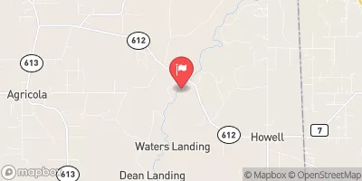
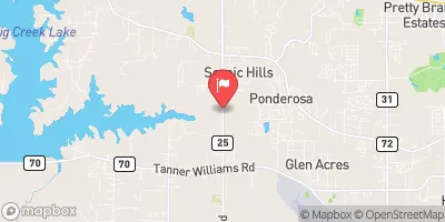
Nearby Streamflow Levels
River Runs
-
 Begins Approximately 1 River Mile Upstream From The U.S. Highway 98 Bridge To The Jackson County Route 614 Bridge
-
 The Jackson County Route 614 Bridge
To Ends Approximately 2 River Miles From The Southern Terminus Of The Study Area
-
 The Confluence With Scarsborough Creek
To The Confluence With The Escatawpa River


