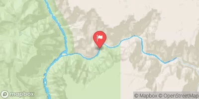
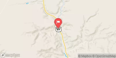
Summary
The ideal streamflow range for this river is between 800 and 6,000 cubic feet per second (cfs), with the best time to go being in the spring when snowmelt brings the water levels up.
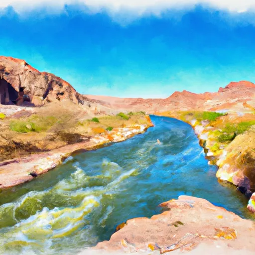
The river is broken into three segments: the Upper, Middle, and Lower. Each segment has a different class rating, with the Upper being a Class III-IV, the Middle a Class IV, and the Lower a Class II-III. The Upper segment is the most challenging portion of the river, with steep drops and technical rapids. The Middle segment has larger waves and holes, while the Lower segment is more mellow and scenic.
The total segment mileage of the Whitewater River Run is approximately 44 miles, with the Upper segment being 14 miles, the Middle segment being 16 miles, and the Lower segment being 14 miles. Throughout the river, there are specific rapids and obstacles that add to the excitement, such as House Rock, Hance Rapid, and Crystal Rapid.
There are specific regulations to the area that must be followed to ensure the safety of all participants. These include wearing a personal flotation device (PFD) at all times, following Leave No Trace principles, and obtaining the necessary permits for overnight camping.
Overall, the Whitewater River Run offers a thrilling experience for those looking for a challenging and scenic river adventure. It is important to check current streamflow levels and follow all regulations to ensure a safe and enjoyable trip.
°F
°F
mph
Wind
%
Humidity
15-Day Weather Outlook
River Run Details
| Last Updated | 2026-02-07 |
| River Levels | 8 cfs (3.84 ft) |
| Percent of Normal | 47% |
| Status | |
| Class Level | iii-iv |
| Elevation | ft |
| Run Length | 3.0 Mi |
| Streamflow Discharge | cfs |
| Gauge Height | ft |
| Reporting Streamgage | USGS 09403850 |
5-Day Hourly Forecast Detail
Nearby Streamflow Levels
Area Campgrounds
| Location | Reservations | Toilets |
|---|---|---|
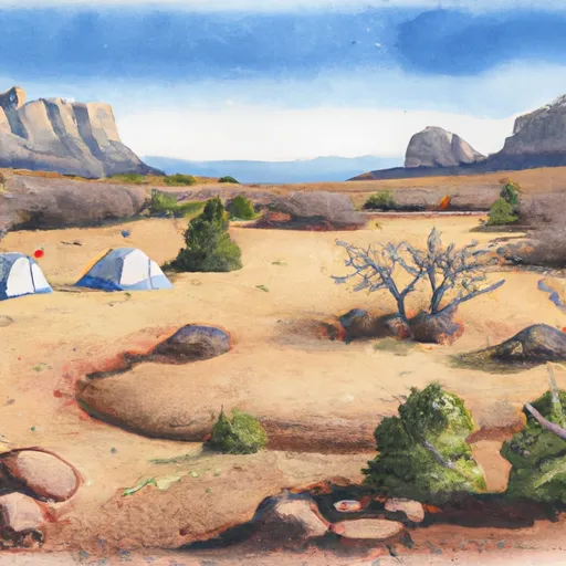 Upper Tapeats Campsite
|
||
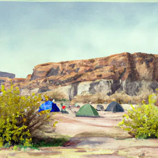 Lower Tapeats Campsite
|
||
 Crazy Jug Vista Campground
|
||
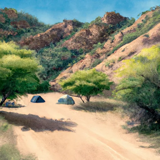 Deer Creek Campsite
|
||
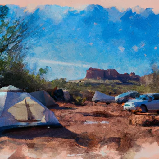 Indian Hollow Campground
|
||
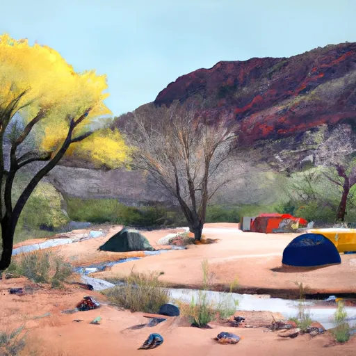 Shinumo Camp
|
River Runs
-
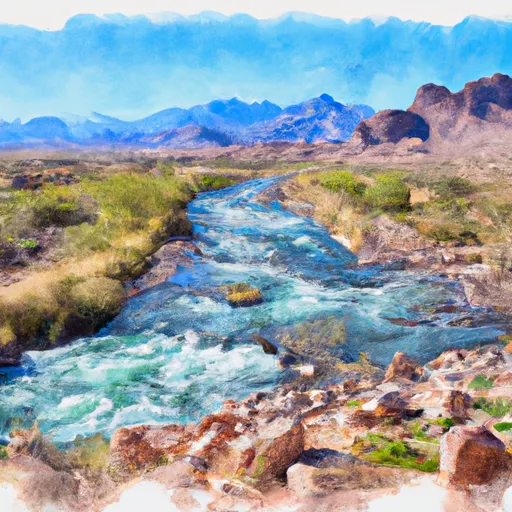 Headwaters To Confluence With The Colorado River
-
 Tapeats Spring To Confluence With The Colorado River
-
 Thunder Spring To Confluence With Tapeats Creek
-
 The Base Of The Redwall To Confluence With The Colorado River
-
 Deer Spring To Confluence With The Colorado River
-
 Confluence With White Creek To Confluence With The Colorado River


