Summary
The ideal streamflow range for this section of the river is between 500-2000 cfs, which typically occurs during the spring and early summer months. The 15-mile segment starts at the confluence with White Creek and ends at the confluence with the Colorado River. This section is rated as a Class III-IV, with several rapids and obstacles such as House Rock, Killer Fang, and Grapevine.
While there are no specific regulations for this section of the river, it is important to always wear appropriate safety gear and carry a first aid kit. Additionally, visitors should always respect private land and obtain permission before accessing any areas outside of public lands. The Whitewater River Run is not recommended for beginners and should only be attempted by experienced and skilled individuals.
°F
°F
mph
Wind
%
Humidity
15-Day Weather Outlook
River Run Details
| Last Updated | 2022-09-30 |
| River Levels | 76 cfs (15.55 ft) |
| Percent of Normal | 114% |
| Status | |
| Class Level | iii-iv |
| Elevation | ft |
| Run Length | 3.0 Mi |
| Streamflow Discharge | cfs |
| Gauge Height | ft |
| Reporting Streamgage | USGS 09404110 |
5-Day Hourly Forecast Detail
Nearby Streamflow Levels
Area Campgrounds
| Location | Reservations | Toilets |
|---|---|---|
 Shinumo Camp
|
||
 Point Sublime
|
||
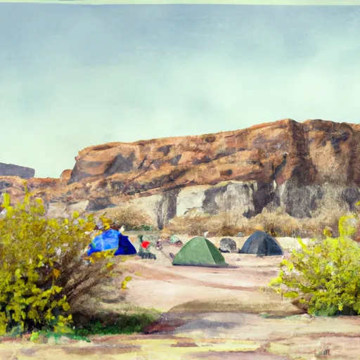 Lower Tapeats Campsite
|
||
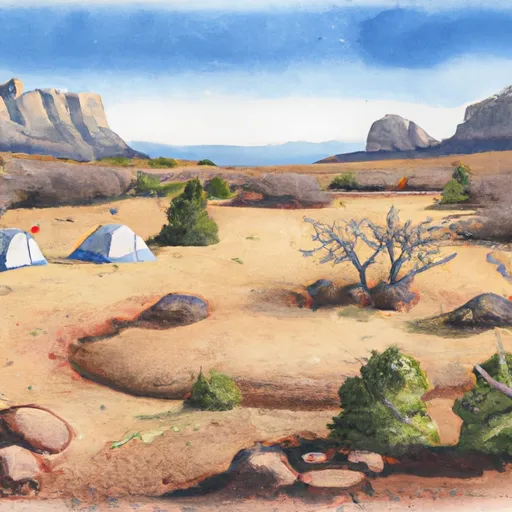 Upper Tapeats Campsite
|


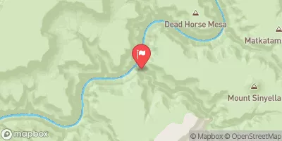
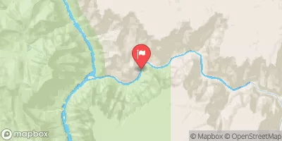
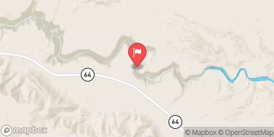
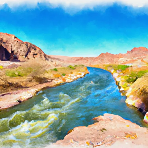 Confluence With White Creek To Confluence With The Colorado River
 The Base Of The Redwall To Confluence With The Colorado River
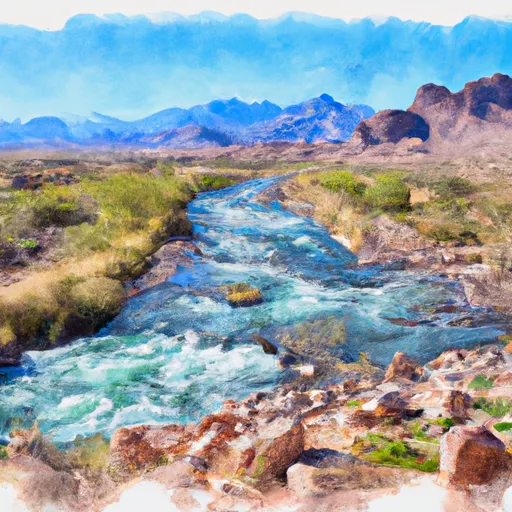 Headwaters To Confluence With The Colorado River
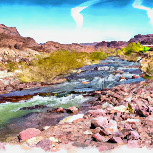 Begins 1 Mile Upstream From Confluence With Dragon Creek To Confluence With The Colorado River