Summary
The ideal streamflow range for this river run is between 500 and 2000 cubic feet per second (cfs), depending on the skill level of the rafters. The segment mileage of this run is approximately 18 miles and is rated as a Class II-III river, which includes moderate rapids and obstacles.
Some of the notable rapids on this river include the House Rock Rapid, the Rock Drop Rapid, and the Three Springs Rapid, among others. These rapids provide exciting challenges for rafters, while allowing for an enjoyable and memorable experience.
There are specific regulations that must be followed on the West Fork Little Colorado River, including obtaining a permit before launching on the river and following Leave No Trace principles to minimize environmental impact. Additionally, river runners should be aware of the potential for flash floods, which can occur during monsoon season.
In summary, the West Fork Little Colorado River is a great destination for rafting enthusiasts looking for a thrilling and scenic experience. With an ideal streamflow range of 500-2000 cfs, a Class II-III rating, and various rapids and obstacles, this river run is sure to provide an unforgettable adventure. It is important to follow specific regulations and safety precautions to ensure a safe and enjoyable trip.
°F
°F
mph
Wind
%
Humidity
15-Day Weather Outlook
River Run Details
| Last Updated | 2021-01-02 |
| River Levels | 1 cfs (1.26 ft) |
| Percent of Normal | 14% |
| Status | |
| Class Level | ii-iii |
| Elevation | ft |
| Streamflow Discharge | cfs |
| Gauge Height | ft |
| Reporting Streamgage | USGS 09383300 |
5-Day Hourly Forecast Detail
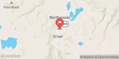
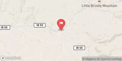
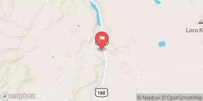
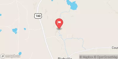
Nearby Streamflow Levels
Area Campgrounds
| Location | Reservations | Toilets |
|---|---|---|
 Winn Group Campground
|
||
 Winn
Winn
|
||
 Winn Campground
|
||
 Gabaldon
|
||
 Gabaldon Horse Camp
|
||
 Sunrise Lake
|
River Runs
-
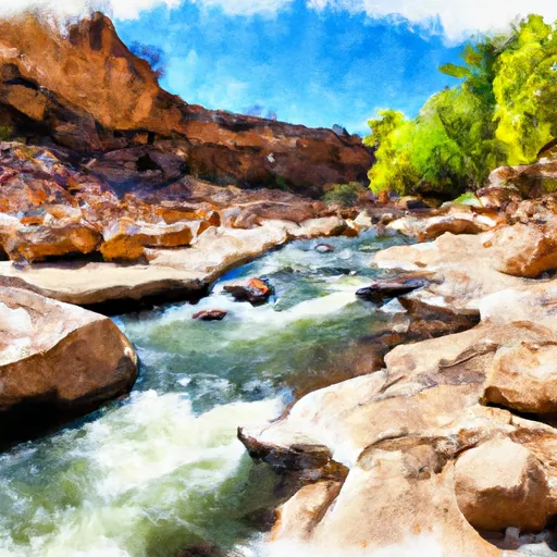 West Fork Little Colorado River
-
 Headwaters In Mount Baldy Wilderness To 0.1 Miles Above Upper Fish Barrier
-
 Forest Boundary To 0.15 Miles Below Forest Road 116
-
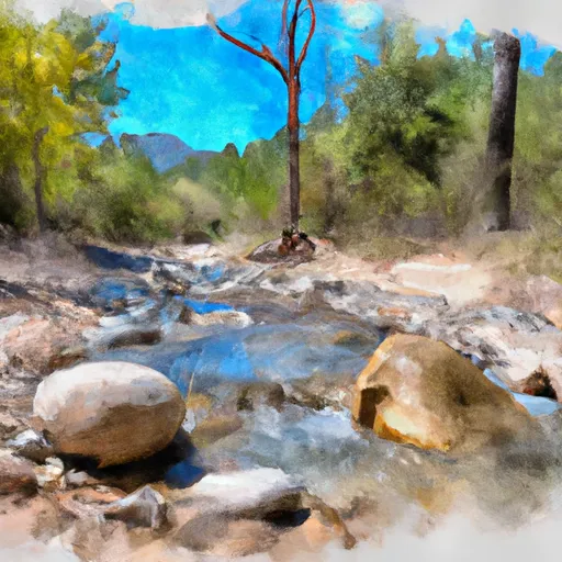 Headwaters In Mount Baldy Wilderness To Wilderness Boundary
-
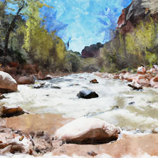 0.1 Miles Below Lower Fish Barrier To 1/2 Mile Above West Fork Dispersed Campground
-
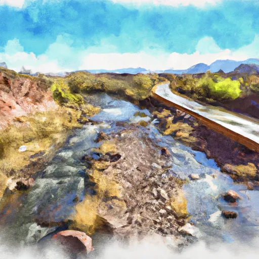 State Highway 261 To 1/2 Mile Above Crosby Crossing


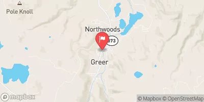
 Crescent Lake Point Area Fishing Site
 Bunch Reservoir
 River Reservoir South Fishing Site
 Big Lake Dam Parking Fishing Site