Summary
The ideal streamflow range for this segment of the river is between 350-700 cubic feet per second (cfs), with the best time for rafting usually being in the late spring/early summer months.
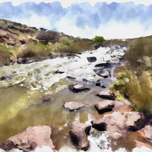
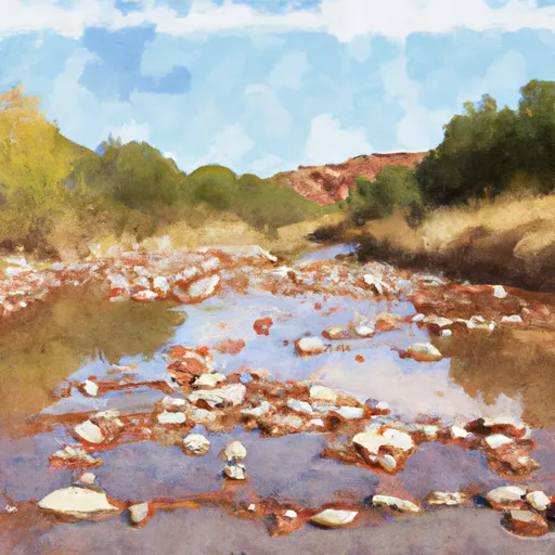
This segment of the river has been rated as a Class III-IV run, with some challenging rapids and obstacles along the way, including drops, waves, and hydraulics. The total segment mileage is approximately 26 miles, and takes around 2-3 days to complete.
There are several regulations and guidelines for this area, including a permit requirement for overnight camping and a designated take-out point at the confluence with the West Fork Black River. Additionally, all boaters are required to wear a personal flotation device (PFD) at all times while on the river.
Overall, the Whitewater River Run from Headwaters to Confluence with West Fork Black River in Arizona provides a thrilling and challenging whitewater rafting experience for those looking for an adventure on the water.
°F
°F
mph
Wind
%
Humidity
15-Day Weather Outlook
River Run Details
| Last Updated | 2021-01-02 |
| River Levels | 1 cfs (1.26 ft) |
| Percent of Normal | 14% |
| Status | |
| Class Level | iii-iv |
| Elevation | ft |
| Streamflow Discharge | cfs |
| Gauge Height | ft |
| Reporting Streamgage | USGS 09383300 |
5-Day Hourly Forecast Detail
Nearby Streamflow Levels
Area Campgrounds
| Location | Reservations | Toilets |
|---|---|---|
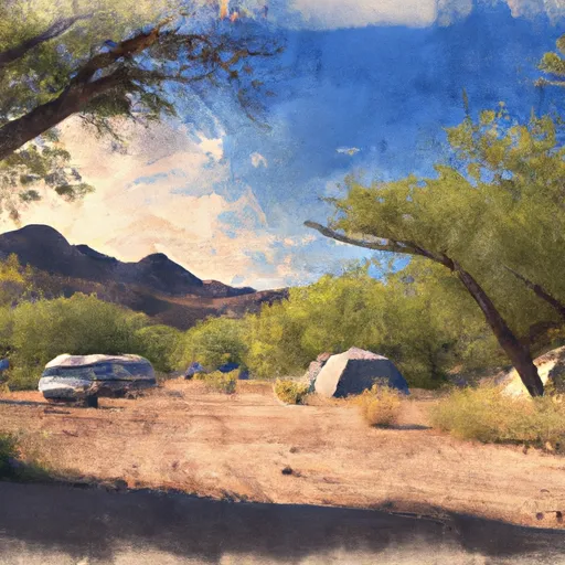 Apache Trout Campground
|
||
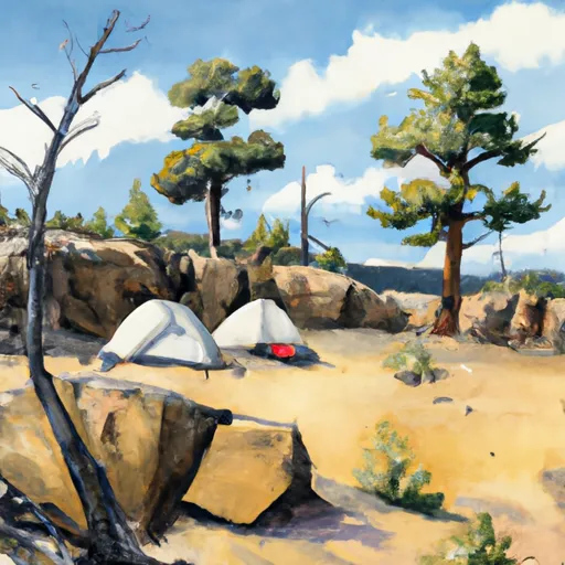 Cutthroat
|
||
 Cutthroat Campground
|
||
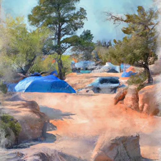 Grayling Campground
|
||
 Grayling
|
||
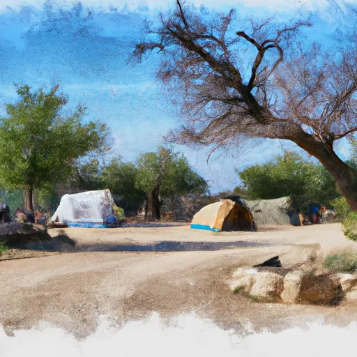 Brookchar Campground
|
River Runs
-
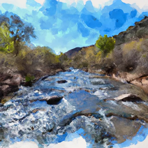 Headwaters To Confluence With West Fork Black River
-
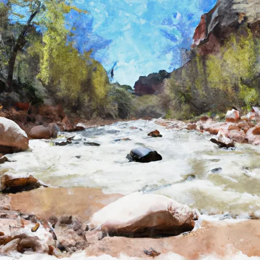 0.1 Miles Below Lower Fish Barrier To 1/2 Mile Above West Fork Dispersed Campground
-
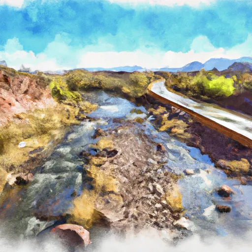 State Highway 261 To 1/2 Mile Above Crosby Crossing
-
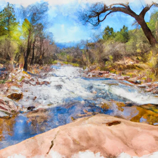 Forest Boundary To 0.15 Miles Below Forest Road 116
-
 1/2 Mile Above Crosby Crossing To 1/2 Mile Below Crosby Crossing
-
 1/2 Mile Below Crosby Crossing To Confluence With Boneyard Creek


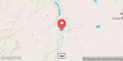
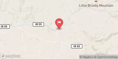
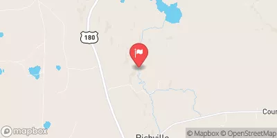
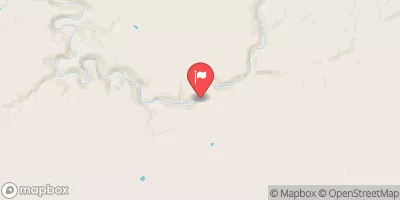
 Crescent Lake Point Area Fishing Site
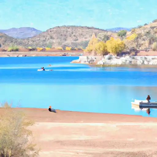 Lee Valley Reservoir
 River Reservoir South Fishing Site
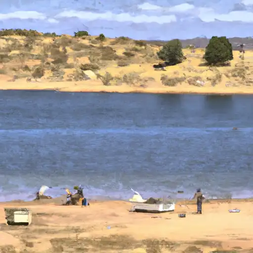 Bunch Reservoir