Summary
The ideal streamflow range for this run is between 500 to 5,000 cfs. The Class III to IV rapids make it a challenging yet enjoyable adventure. The total segment mileage for this river run is approximately 18 miles.
Some of the notable rapids and obstacles along the way include the Headwaters Rapid, the Wiggins Fork Rapid, and the Elk Creek Rapid. The Headwaters Rapid is the starting point of the run and is a Class III rapid that is relatively easy to navigate. The Wiggins Fork Rapid is a Class IV rapid that poses a greater challenge due to its technical nature. The Elk Creek Rapid is another Class III rapid that provides a thrilling ride.
There are specific regulations that apply to this area, including the requirement for a permit to access and raft on the river. The permit can be obtained from the National Forest Service. Additionally, all participants must wear appropriate safety gear, and the use of alcohol is strictly prohibited.
In conclusion, the Whitewater River Run Headwaters To Wilderness Boundary in Arizona is an exciting adventure for whitewater rafting enthusiasts. It offers Class III to IV rapids, with an ideal streamflow range of 500 to 5,000 cfs. The segment mileage is approximately 18 miles, and there are several challenging rapids and obstacles along the way. The area is regulated, and participants must adhere to specific safety requirements and obtain a permit to access the river.
°F
°F
mph
Wind
%
Humidity
15-Day Weather Outlook
River Run Details
| Last Updated | 2025-06-28 |
| River Levels | 0 cfs (2.66 ft) |
| Percent of Normal | 0% |
| Status | |
| Class Level | iii-iv |
| Elevation | ft |
| Streamflow Discharge | cfs |
| Gauge Height | ft |
| Reporting Streamgage | USGS 09537200 |
5-Day Hourly Forecast Detail
Nearby Streamflow Levels
Area Campgrounds
| Location | Reservations | Toilets |
|---|---|---|
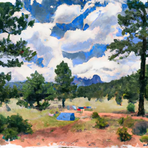 Aspen Saddle Camp
|
||
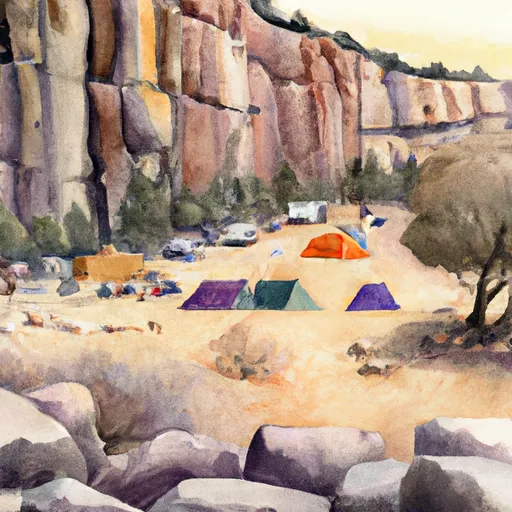 Cliff Camp
|
||
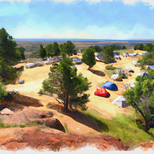 High Camp
|
||
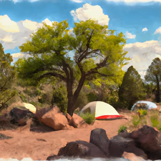 Aspen Camp
|
||
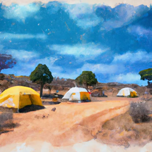 Windy Camp
|
||
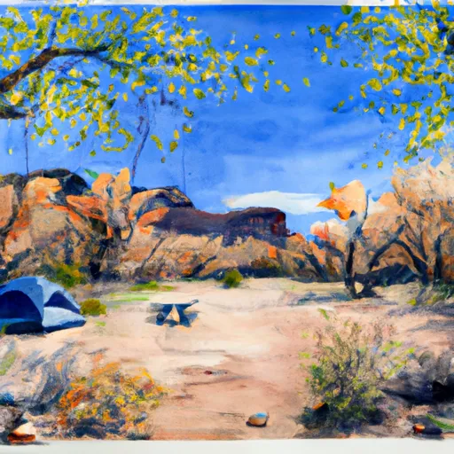 Upper Maple Camp
|


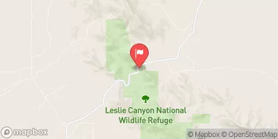
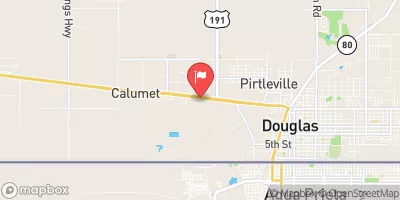
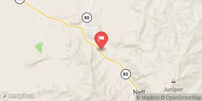
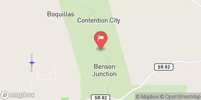
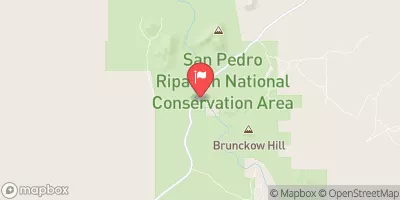
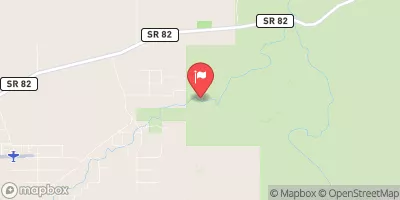
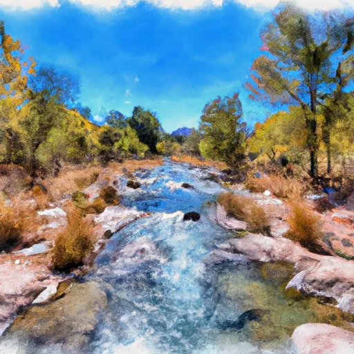 Headwaters To Wilderness Boundary
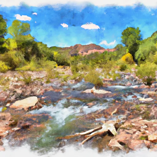 Headwaters Within Wilderness To Wilderness Boundary
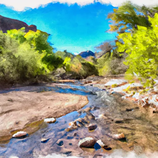 Cima Creek - Headwaters To Wilderness Boundary
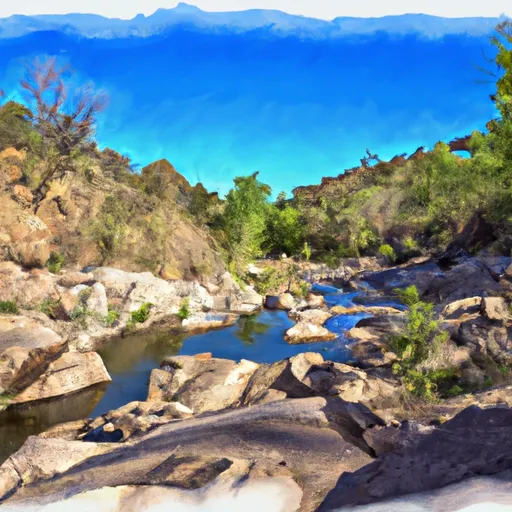 Cower Cave Creek - Wilderness Boundary To Coronado National Forest Boundary (Near Portal)
 Wilderness Boundary To Confluence With Cave Creek