Summary
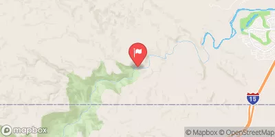
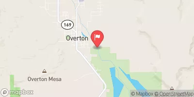
The ideal streamflow range for this river is between 200 and 800 cubic feet per second (cfs) in order to provide adequate whitewater conditions. The river is rated as Class III-IV, which means it is considered moderately difficult with moderate to high risk. The segment length of the river is approximately 16 miles, starting at Virgin Dam and ending at the Confluence with the Colorado River.
This river features various obstacles, such as boulder gardens, narrow chutes, and technical drops. Some of the notable rapids include The Narrows, Fat Man's Misery, and Sunrise Rapid. It is important for paddlers to have proper equipment and experience before attempting this river run.
Regulations for the area include obtaining a permit from the National Park Service, which limits the number of visitors per day and requires a fee. Paddlers should also adhere to Leave No Trace principles and pack out all trash. Additionally, motorized equipment is not allowed on the river.
Overall, the Virgin River provides a thrilling whitewater experience for experienced paddlers and offers beautiful scenery in the surrounding Zion National Park.
°F
°F
mph
Wind
%
Humidity
15-Day Weather Outlook
River Run Details
| Last Updated | 2025-06-28 |
| River Levels | 232 cfs (5.34 ft) |
| Percent of Normal | 72% |
| Status | |
| Class Level | iii-iv |
| Elevation | ft |
| Streamflow Discharge | cfs |
| Gauge Height | ft |
| Reporting Streamgage | USGS 09415000 |
5-Day Hourly Forecast Detail
Nearby Streamflow Levels
 Virgin R At Littlefield
|
153cfs |
 Beaver Dam Wash At Beaver Dam
|
7cfs |
 Virgin R Abv The Narrows Nr Littlefield
|
167cfs |
 Virgin River Near St. George
|
210cfs |
 Muddy R At Lewis Avenue At Overton
|
39cfs |
 Muddy R Nr Glendale
|
44cfs |


 Virgin River