Summary
The rapids are challenging, but there are pools between each set for recovery. The best time to float is in the spring when the snowpack melts, providing higher water levels. The recommended CFS is 800-1,200 for optimal conditions. Specific obstacles on this section include "Schoolhouse Rock," "Black Rock," and "Chute." It's important to note that the river includes long, flat sections between rapids and requires a shuttle to access. Overall, the Christopher Creek River Run is an exciting and challenging whitewater experience for experienced paddlers.
°F
°F
mph
Wind
%
Humidity
15-Day Weather Outlook
River Run Details
| Last Updated | 2023-06-13 |
| River Levels | 443 cfs (7.18 ft) |
| Percent of Normal | 206% |
| Optimal Range | 120-250 cfs |
| Status | Runnable |
| Class Level | V |
| Elevation | 2,185 ft |
| Run Length | 6.0 Mi |
| Streamflow Discharge | 163 cfs |
| Gauge Height | 6.2 ft |
| Reporting Streamgage | USGS 09498500 |
5-Day Hourly Forecast Detail
Nearby Streamflow Levels
Area Campgrounds
| Location | Reservations | Toilets |
|---|---|---|
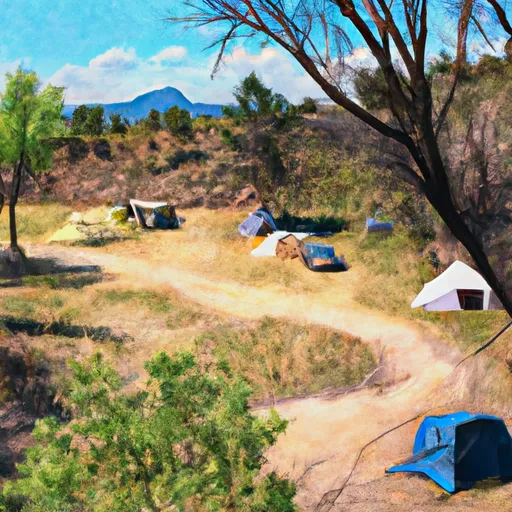 Christopher Creek Campground and Group Site
|
||
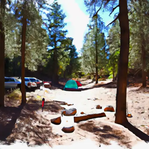 Christopher Creek
|
||
 Sharp Creek Campground and Group Sites
|
||
 Sharp Creek
|
||
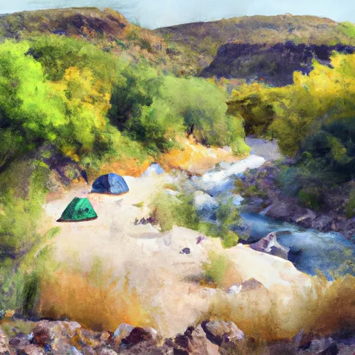 Tonto Creek
|
||
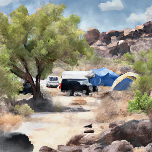 Fr 9350 Campground
|


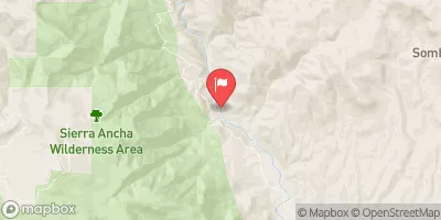
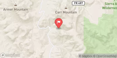
 Christopher Creek
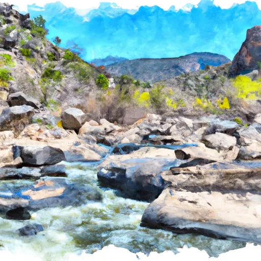 Northern Boundary Of Hellsgate Wilderness To Southern Boundary Of Hellsgate Wilderness
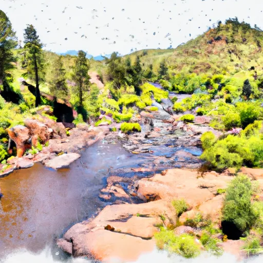 One Mile Below Woods Canyon Lake Dam (Woods Canyon) To Confluence With Chevelon Canyon
 Below The Dam At Knoll Lake To Confluence With East Clear Creek