Summary
The ideal streamflow range for this run is between 200 and 400 cubic feet per second (cfs). The class rating for the run is Class II and III, making it suitable for intermediate paddlers. The segment mileage of the run is approximately 13 miles, stretching from the State Line to the Mouth of the River.
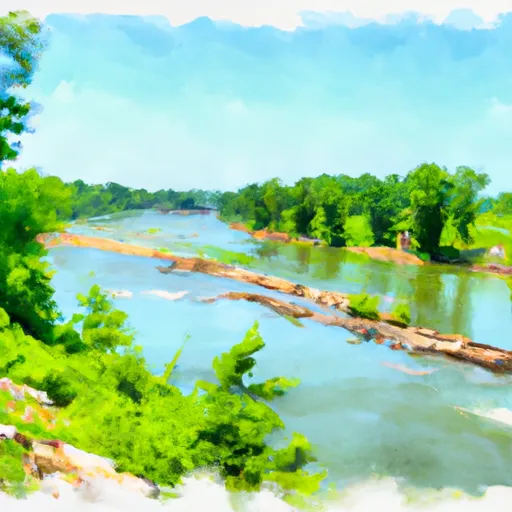
The Whitewater River run features several exciting rapids and obstacles, including Big Rock, Devil's Backbone, and Roaring Rapids. These rapids range from Class II to Class III in difficulty and provide a thrilling challenge for experienced kayakers and rafters.
In terms of regulations, all paddlers are required to wear personal flotation devices (PFDs) while on the river. Additionally, there are restrictions on the use of alcohol and drugs, and littering is strictly prohibited. Visitors should also be aware of potential hazards such as strainers and snags that could pose a danger to paddlers.
Overall, the Whitewater River run offers a fun and challenging experience for intermediate paddlers. With its scenic beauty and exciting rapids, it's no wonder why it's a popular destination for kayakers and rafters in Arkansas.
°F
°F
mph
Wind
%
Humidity
15-Day Weather Outlook
River Run Details
| Last Updated | 2026-02-07 |
| River Levels | 14 cfs (1.64 ft) |
| Percent of Normal | 55% |
| Status | |
| Class Level | ii-iii |
| Elevation | ft |
| Run Length | 37.0 Mi |
| Streamflow Discharge | cfs |
| Gauge Height | ft |
| Reporting Streamgage | USGS 07196900 |


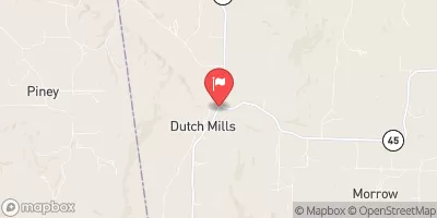
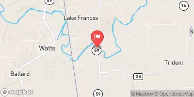
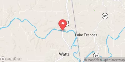


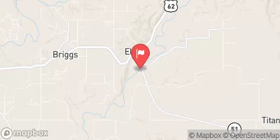
 The State Line To The Mouth Of The River
Outh Of The River