

Summary
Regional Streamflow Levels
15-Day Long Term Forecast
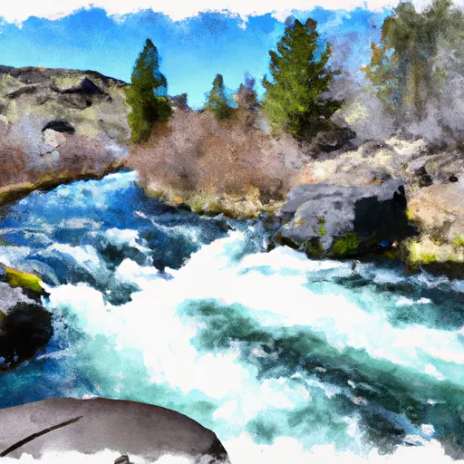
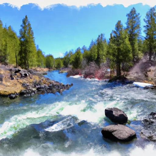
River Run Details
| Last Updated | |
| River Levels | cfs ( ft) |
| Percent of Normal | +100% |
| Status | |
| Class Level | I to II |
| Elevation | ft |
| Run Length | 18.0 Mi |
| Gradient | 1 FPM |
| Streamflow Discharge | cfs |
| Gauge Height | ft |
| Reporting Streamgage | USGS |

5-Day Hourly Forecast Detail
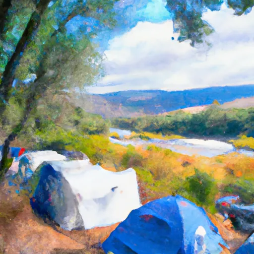
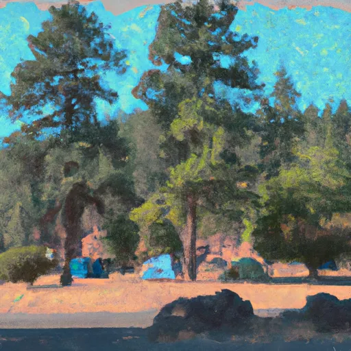
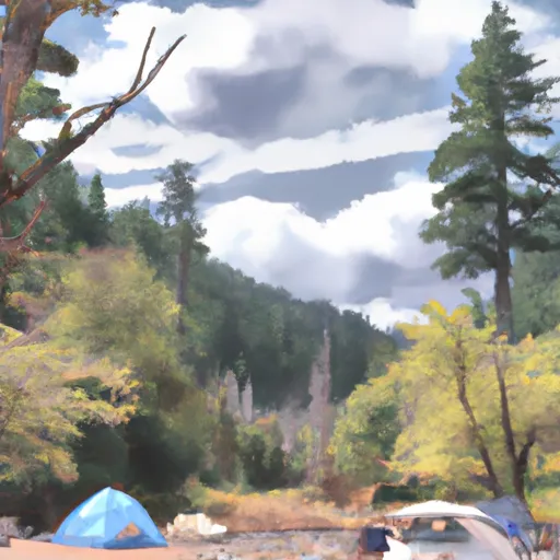
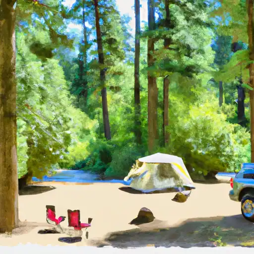
Area Campgrounds
| Location | Reservations | Toilets |
|---|---|---|
 Big River Campground/Big River Group
|
||
 Big River
|
||
 Lapine State Park
|
||
 Fall River Campground
|
||
 Fall River
|
||
 Pringle Falls Campground
|
 Big River Campground
 Big River to Benham Falls
 Source To Confluence With Deschutes River
 Pringle Falls to Big River Campground
 Deschutes Nf Boundary To Paulina Lake
 Roseland Park to Deschutes River
 Benham Falls to Dillon Falls