Summary
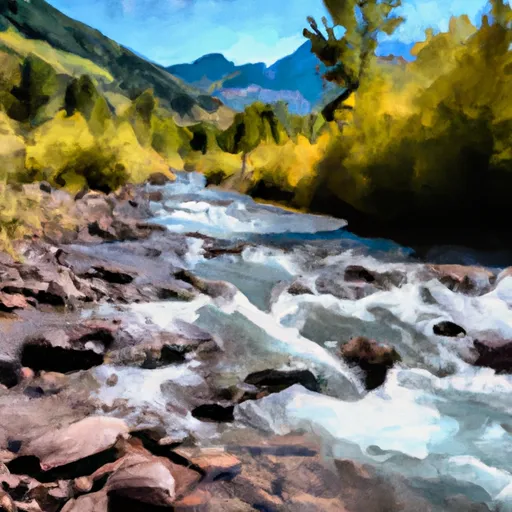
The ideal streamflow range for this section is between 800 and 1,200 cubic feet per second (cfs), which typically occurs from May to July. The class rating for this section is Class III-IV, with some challenging rapids and obstacles.
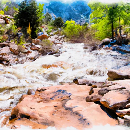
The South Fork section of the river spans about 10 miles, with varying degrees of difficulty. The first 4 miles are relatively calm before reaching the more challenging rapids such as Funnel Falls and Pinball. Funnel Falls is a Class IV rapid that requires precise maneuvering through a narrow chute, while Pinball is a Class III rapid with multiple rocks and obstacles to navigate.
There are specific regulations in place for the South Fork section, including a mandatory life jacket rule for all rafters and kayakers. Additionally, commercial outfitters must obtain a permit from the U.S. Forest Service to operate on this section of the river.
Overall, the South Fork of the Colorado River provides a thrilling whitewater experience for experienced rafters and kayakers. It is important to check the streamflow levels and weather conditions before attempting this section, as water levels can change rapidly and weather can impact safety on the river.
°F
°F
mph
Wind
%
Humidity
15-Day Weather Outlook
River Run Details
| Last Updated | 2026-02-07 |
| River Levels | 136 cfs (1.99 ft) |
| Percent of Normal | 73% |
| Status | |
| Class Level | iii-iv |
| Elevation | ft |
| Streamflow Discharge | cfs |
| Gauge Height | ft |
| Reporting Streamgage | USGS 09073300 |
5-Day Hourly Forecast Detail
Nearby Streamflow Levels
Area Campgrounds
| Location | Reservations | Toilets |
|---|---|---|
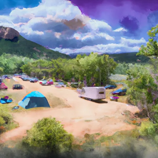 Bogan Flats Group Campground
|
||
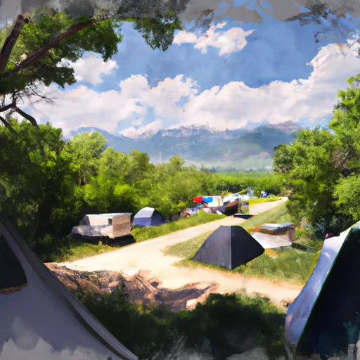 Bogan Flats Campground
|
||
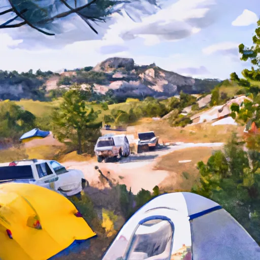 Bogan Flats
|
||
 McClure
|
||
 McClure Campground - Paonia RD
|
||
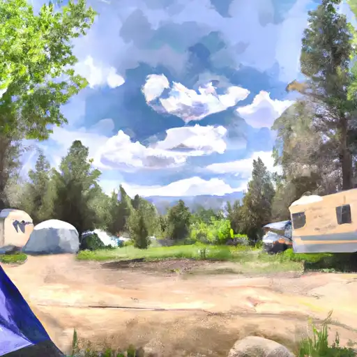 Erickson Springs
|


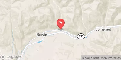
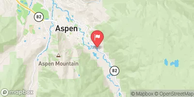
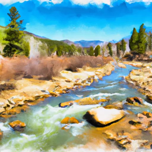 South Fork--Headwaters To Beaver Lake
 Bogan Canyon
 Crystal Mill Falls
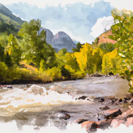 Maroon Bells/Snowmass Wilderness Boundary To Confluence With South Fork
 North Fork--Headwaters To Maroon Bells/Snowmass Wilderness Boundary
 Deep Creek