Headwaters Of North, Middle And South Forks To Confluence Of South Fork With Encampment River Paddle Report
Last Updated: 2025-11-26
The Whitewater River Run, specifically the Headwaters of North, Middle, and South Forks to Confluence of South Fork with Encampment River in Colorado, offers an exciting and challenging adventure for experienced whitewater enthusiasts.
Summary
The ideal streamflow range for this run is between 500 and 2,000 cubic feet per second (cfs), with the best time to go being in the spring and early summer when the snowmelt provides optimal conditions.
The class rating for this run ranges from II to IV, depending on the section of the river. The North Fork is rated Class II-III, the Middle Fork is Class III-IV, and the South Fork is Class III-IV. The total mileage for this run is approximately 30 miles, with each section offering its own unique challenges. Specific rapids and obstacles include "S-Turns" on the North Fork, "Three Forks" on the Middle Fork, and "Red Canyon" on the South Fork.
It is important to note that the Whitewater River Run is located primarily on private land, so there are specific regulations in place to ensure responsible use of the area. These regulations include obtaining permission from landowners before accessing the river, respecting private property boundaries, and leaving no trace of your visit to the area.
Overall, the Whitewater River Run offers a thrilling and challenging adventure for experienced whitewater enthusiasts in Colorado. It is important to follow regulations and respect private property boundaries to ensure that the area remains accessible for future generations to enjoy.
°F
°F
mph
Wind
%
Humidity
15-Day Weather Outlook
River Run Details
| Last Updated | 2025-11-26 |
| River Levels | 410 cfs (2.3 ft) |
| Percent of Normal | 194% |
| Status | |
| Class Level | ii-iii |
| Elevation | ft |
| Streamflow Discharge | cfs |
| Gauge Height | ft |
| Reporting Streamgage | USGS 09238900 |
5-Day Hourly Forecast Detail
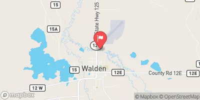
Nearby Streamflow Levels
Area Campgrounds
| Location | Reservations | Toilets |
|---|---|---|
 Seedhouse Group Campground
|
||
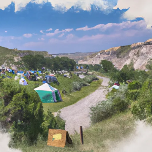 Seedhouse Campground
|
||
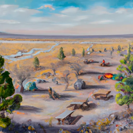 Seedhouse
|
||
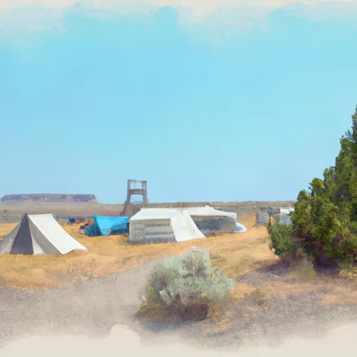 Seedhouse Guard Station
|
||
 Hinman Park Campground
|
||
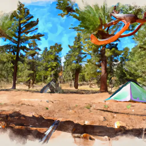 Hinman Park
|


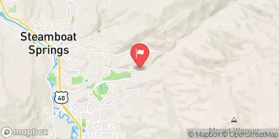
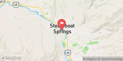
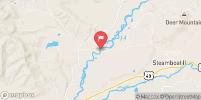
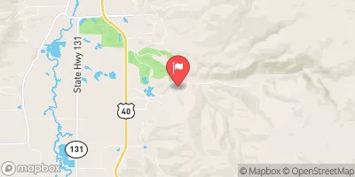
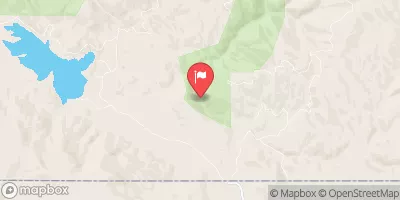
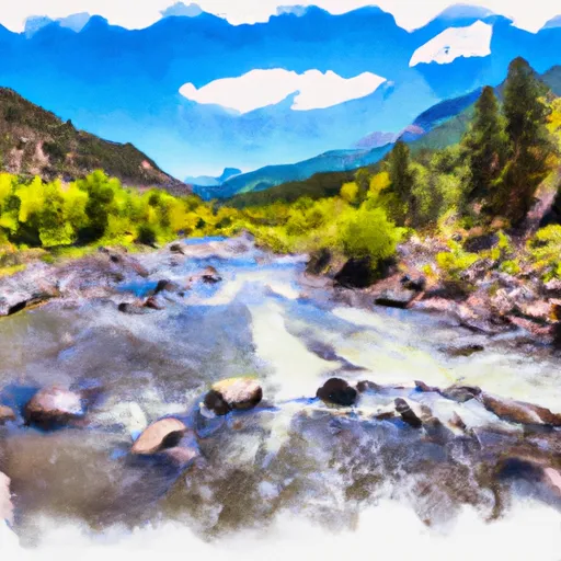 Headwaters Of North, Middle And South Forks To Confluence Of South Fork With Encampment River
 Roaring Fork (West Section Line Sec 28 T9N, R82W); Red Canyon (Nw1/4 Sec 5, T8N, R82W) To East Section Line Sec 34, T9N, R82W