Winter Storm Watch
2026-05-06T12:00:00-06:00
2026-05-06T12:00:00-06:00
* WHAT...Heavy snow possible. Total snow accumulations between 8 and 16 inches possible mainly above 9000 ft in elevation. Winds could gust as high as 45 mph. * WHERE...Snowy Range. * WHEN...From Monday evening through Wednesday morning. * IMPACTS...Outdoor recreation could become dangerous to those caught unprepared for hazardous winter conditions. Hunters, hikers, and snowmobilers may become disoriented and lost due to low visibility in falling and blowing snow.
Summary
Regional Streamflow Levels
15-Day Long Term Forecast
River Run Details
| Last Updated | 2026-05-02 |
| River Levels | 2110 cfs (5.03 ft) |
| Percent of Normal | 17% |
| Status | |
| Class Level | None |
| Elevation | ft |
| Streamflow Discharge | cfs |
| Gauge Height | ft |
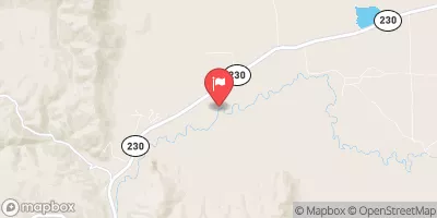
| Reporting Streamgage | USGS 06620000 |
5-Day Hourly Forecast Detail
Area Campgrounds
| Location | Reservations | Toilets |
|---|---|---|
 Pickaroon
|
||
 Pickaroon Campground
|
||
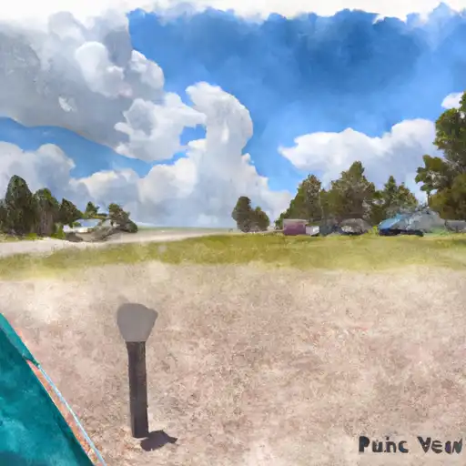 Pike Pole
|
||
 Six Mile
|
||
 Six Mile Campground
|
||
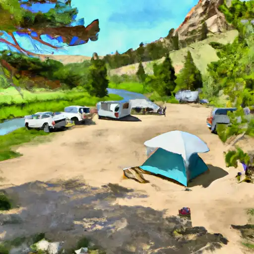 Pelton Creek
|

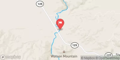
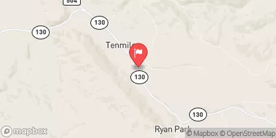
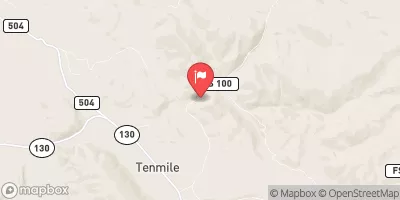
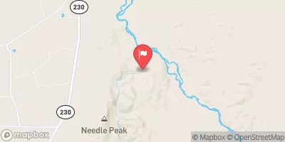
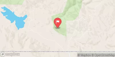

 Co/Wy Stateline To Douglas Creek
 Big Creek
 North Platte River
 Flume Creek Park
 Cinnabar Park
 Wilderness Platte River
 Big Creek Lakes Day Use Area
 Big Creek Lake(lower)
 Big Creek Lake(upper)
 Cowdrey Lake
 Hog Park Reservoir
 Continue with Snoflo Premium